Estimated Value: $278,587 - $326,000
3
Beds
4
Baths
2,102
Sq Ft
$140/Sq Ft
Est. Value
About This Home
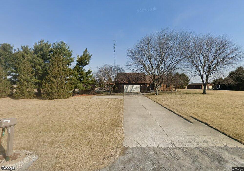
This home is located at 737 State Route 81, Ada, OH 45810 and is currently estimated at $294,862, approximately $140 per square foot. 737 State Route 81 is a home located in Hardin County with nearby schools including Ada Elementary School and Ada High School.
Ownership History
Date
Name
Owned For
Owner Type
Purchase Details
Closed on
Jul 31, 2018
Sold by
Poe Carl E and Poe Charlotte K
Bought by
Perkins Andrew D and Perkins Rita
Current Estimated Value
Home Financials for this Owner
Home Financials are based on the most recent Mortgage that was taken out on this home.
Original Mortgage
$160,000
Outstanding Balance
$138,664
Interest Rate
4.5%
Mortgage Type
New Conventional
Estimated Equity
$156,198
Purchase Details
Closed on
Aug 24, 1993
Bought by
Poe Carl E and Poe Charlotte K
Create a Home Valuation Report for This Property
The Home Valuation Report is an in-depth analysis detailing your home's value as well as a comparison with similar homes in the area
Home Values in the Area
Average Home Value in this Area
Purchase History
| Date | Buyer | Sale Price | Title Company |
|---|---|---|---|
| Perkins Andrew D | $224,900 | None Available | |
| Poe Carl E | $125,000 | -- |
Source: Public Records
Mortgage History
| Date | Status | Borrower | Loan Amount |
|---|---|---|---|
| Open | Perkins Andrew D | $160,000 |
Source: Public Records
Tax History Compared to Growth
Tax History
| Year | Tax Paid | Tax Assessment Tax Assessment Total Assessment is a certain percentage of the fair market value that is determined by local assessors to be the total taxable value of land and additions on the property. | Land | Improvement |
|---|---|---|---|---|
| 2024 | $2,842 | $77,000 | $8,750 | $68,250 |
| 2023 | $2,842 | $77,000 | $8,750 | $68,250 |
| 2022 | $2,633 | $62,070 | $4,410 | $57,660 |
| 2021 | $2,899 | $62,070 | $4,410 | $57,660 |
| 2020 | $2,940 | $62,070 | $4,410 | $57,660 |
| 2019 | $2,581 | $55,180 | $4,200 | $50,980 |
| 2018 | $2,125 | $55,180 | $4,200 | $50,980 |
| 2017 | $1,044 | $55,180 | $4,200 | $50,980 |
| 2016 | $1,918 | $54,160 | $3,680 | $50,480 |
| 2015 | $2,254 | $54,160 | $3,680 | $50,480 |
| 2014 | $945 | $54,160 | $3,680 | $50,480 |
| 2013 | $1,995 | $54,550 | $3,680 | $50,870 |
Source: Public Records
Map
Nearby Homes
- 4071 Township Road 35
- 128 W North Ave
- 211 W Buckeye Ave Unit 211 1/2
- 210 N Gilbert St
- 629 N Main St
- 118 W Buckeye Ave
- 211 S Main St
- 301 S Main St
- 613 S Gilbert St
- 617 S Gilbert St
- 623 S Gilbert St
- 710 S Main St
- 2072 State Route 235
- 212 N Simon St
- 444 Edwards St Unit A, B
- 444 Edwards St Unit 2
- 442 Edwards St
- 308-310 S Simon St
- 314 E University Ave
- 2864 Ohio 309
- 737 State Route 81
- 737 Ohio 81
- 781 State Route 81
- 0611 Sr
- 611 State Route 81
- 836 Ohio 81
- 836 State Route 81
- 2926 Township Road 25
- 2795 Tr 25
- 2795 Township Road 25
- 2834 Tr 25
- 2834 Township Road 25
- 407 State Route 81
- 434 State Route 81
- 1072 State Route 81
- 2764 Township Road 25
- 2790 Township Road 25
- 2621 Tr 25