737 Tower Rd Mineral Bluff, GA 30559
Estimated Value: $615,000 - $814,000
2
Beds
3
Baths
1,344
Sq Ft
$520/Sq Ft
Est. Value
About This Home
This home is located at 737 Tower Rd, Mineral Bluff, GA 30559 and is currently estimated at $699,000, approximately $520 per square foot. 737 Tower Rd is a home located in Fannin County with nearby schools including Fannin County High School.
Ownership History
Date
Name
Owned For
Owner Type
Purchase Details
Closed on
May 30, 2008
Sold by
Thomas Julius O
Bought by
Burkey Todd R
Current Estimated Value
Home Financials for this Owner
Home Financials are based on the most recent Mortgage that was taken out on this home.
Original Mortgage
$100,000
Outstanding Balance
$64,071
Interest Rate
6.02%
Mortgage Type
New Conventional
Estimated Equity
$634,929
Purchase Details
Closed on
Sep 15, 2000
Sold by
Waters Billy and Waters Gary
Bought by
Thomas Julius O
Purchase Details
Closed on
Mar 10, 2000
Sold by
Henson Tommy and Henson Natha
Bought by
Waters Billy and Waters Gary
Create a Home Valuation Report for This Property
The Home Valuation Report is an in-depth analysis detailing your home's value as well as a comparison with similar homes in the area
Home Values in the Area
Average Home Value in this Area
Purchase History
| Date | Buyer | Sale Price | Title Company |
|---|---|---|---|
| Burkey Todd R | $209,300 | -- | |
| Thomas Julius O | $173,000 | -- | |
| Waters Billy | $50,000 | -- |
Source: Public Records
Mortgage History
| Date | Status | Borrower | Loan Amount |
|---|---|---|---|
| Open | Burkey Todd R | $100,000 |
Source: Public Records
Tax History Compared to Growth
Tax History
| Year | Tax Paid | Tax Assessment Tax Assessment Total Assessment is a certain percentage of the fair market value that is determined by local assessors to be the total taxable value of land and additions on the property. | Land | Improvement |
|---|---|---|---|---|
| 2024 | $2,406 | $262,566 | $64,000 | $198,566 |
| 2023 | $1,952 | $191,406 | $35,160 | $156,246 |
| 2022 | $1,972 | $193,410 | $35,160 | $158,250 |
| 2021 | $1,435 | $102,366 | $35,160 | $67,206 |
| 2020 | $1,459 | $102,366 | $35,160 | $67,206 |
| 2019 | $1,080 | $74,308 | $8,742 | $65,566 |
| 2018 | $1,145 | $74,308 | $8,742 | $65,566 |
| 2017 | $1,342 | $75,859 | $8,742 | $67,117 |
| 2016 | $1,231 | $72,458 | $8,742 | $63,716 |
| 2015 | $1,299 | $73,207 | $8,742 | $64,466 |
| 2014 | $1,418 | $80,092 | $8,742 | $71,350 |
| 2013 | -- | $59,169 | $8,741 | $50,427 |
Source: Public Records
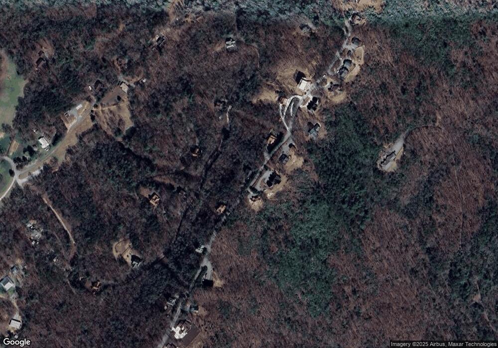
Map
Nearby Homes
- 313 Spruce Cir
- 437 Spruce Cir
- 437 Spruce Cir Unit G
- 433 Spruce Cir
- 588 Tower Rd
- 530 Tower Rd Unit 3
- 530 Tower Rd
- 506 Tower Rd
- 506 Tower Rd Unit 3
- 60 Jackies Bluff Rd
- 100 Wintermute Dr
- 2400 Hardscrabble Rd
- 705 Hickory Dr
- LOT 41 Ridgeline Ln
- 789 Old Pond Mill Rd
- NA Piney Rd
- Lot 12A Oak Loop
- 1.34 AC Laurel Springs Rd
- 421 Salem Valley Rd
- 2461 Salem Rd