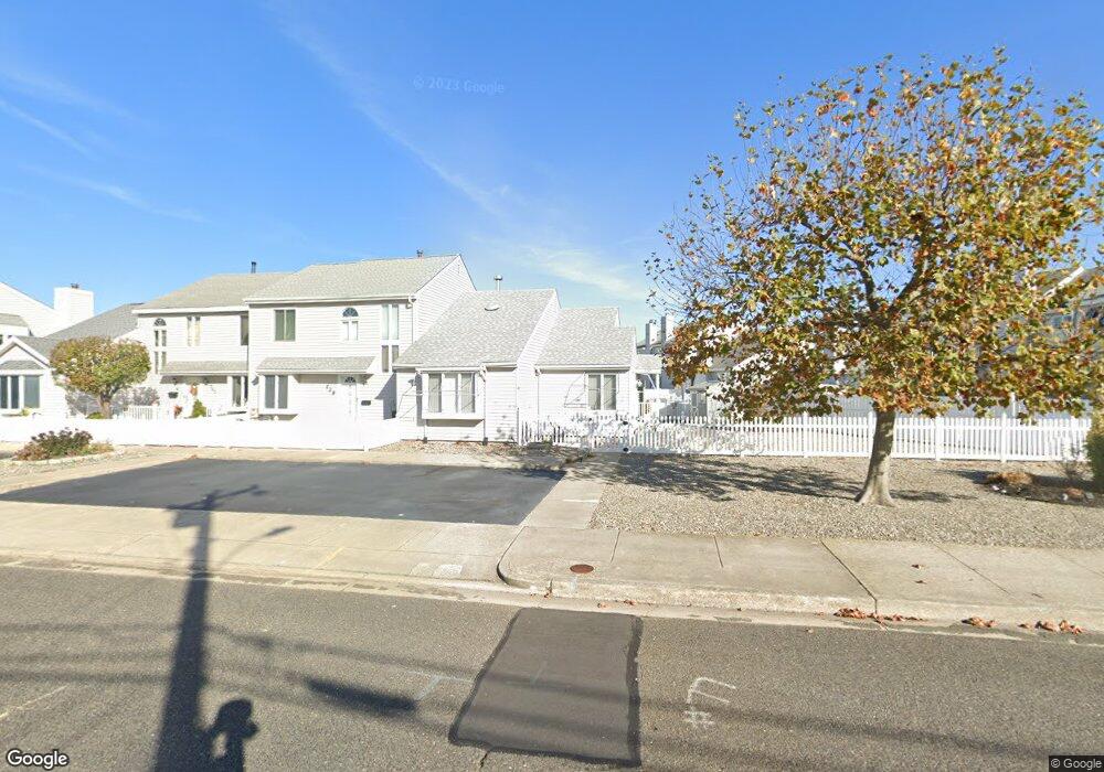
737 W Oak Ave Wildwood, NJ 08260
The Wildwoods NeighborhoodEstimated Value: $578,131 - $747,000
--
Bed
--
Bath
1,035
Sq Ft
$631/Sq Ft
Est. Value
About This Home
This home is located at 737 W Oak Ave, Wildwood, NJ 08260 and is currently estimated at $652,783, approximately $630 per square foot. 737 W Oak Ave is a home located in Cape May County with nearby schools including Margaret Mace Elementary School, Wildwood Catholic Academy, and Cape Christian Academy.
Ownership History
Date
Name
Owned For
Owner Type
Purchase Details
Closed on
Nov 14, 2014
Sold by
Weber Stephen J and Weber Theresa A
Bought by
Monaghan William P and Monaghan Elizabeth E
Current Estimated Value
Home Financials for this Owner
Home Financials are based on the most recent Mortgage that was taken out on this home.
Original Mortgage
$262,800
Outstanding Balance
$202,569
Interest Rate
4.17%
Mortgage Type
New Conventional
Estimated Equity
$450,214
Purchase Details
Closed on
Dec 30, 1996
Sold by
Hanker Larry
Bought by
Weber Stephen and Weber Theresa
Home Financials for this Owner
Home Financials are based on the most recent Mortgage that was taken out on this home.
Original Mortgage
$60,000
Interest Rate
7.48%
Create a Home Valuation Report for This Property
The Home Valuation Report is an in-depth analysis detailing your home's value as well as a comparison with similar homes in the area
Home Values in the Area
Average Home Value in this Area
Purchase History
| Date | Buyer | Sale Price | Title Company |
|---|---|---|---|
| Monaghan William P | $292,000 | None Available | |
| Weber Stephen | $85,000 | -- |
Source: Public Records
Mortgage History
| Date | Status | Borrower | Loan Amount |
|---|---|---|---|
| Open | Monaghan William P | $262,800 | |
| Previous Owner | Weber Stephen | $60,000 |
Source: Public Records
Tax History Compared to Growth
Tax History
| Year | Tax Paid | Tax Assessment Tax Assessment Total Assessment is a certain percentage of the fair market value that is determined by local assessors to be the total taxable value of land and additions on the property. | Land | Improvement |
|---|---|---|---|---|
| 2025 | $4,558 | $293,700 | $195,000 | $98,700 |
| 2024 | $4,558 | $293,700 | $195,000 | $98,700 |
| 2023 | $4,461 | $293,700 | $195,000 | $98,700 |
| 2022 | $4,282 | $293,700 | $195,000 | $98,700 |
| 2021 | $3,049 | $293,700 | $195,000 | $98,700 |
| 2020 | $3,968 | $293,700 | $195,000 | $98,700 |
| 2019 | $3,836 | $293,700 | $195,000 | $98,700 |
| 2018 | $3,727 | $293,700 | $195,000 | $98,700 |
| 2017 | $3,648 | $293,700 | $195,000 | $98,700 |
| 2016 | $3,577 | $293,700 | $195,000 | $98,700 |
| 2015 | $3,530 | $312,900 | $194,000 | $118,900 |
| 2014 | $3,445 | $312,900 | $194,000 | $118,900 |
Source: Public Records
Map
Nearby Homes
- 406 Illinois Ave Unit 406
- 725 Allen Dr Unit 212A
- 725 Allen Dr Unit 127A
- 725 Allen Dr Unit 134B
- 725 Allen Dr Unit 318C
- 725 Allen Dr Unit C318
- 725 Allen Dr Unit 255B
- 800 W Spruce Ave
- 723 W Spruce Ave
- 400 E Marina Ct Unit 104
- 105 Seaview Ct Unit A
- 4102 Seaboard Cir Unit B1
- 4304 Seaboard Cir Unit D3
- 116 Seaview Ct Unit A11
- 645 W Spruce Ave Unit left
- 643-649 W Spruce Ave Unit Right
- 510 W Anglesea Dr Unit 15
- 1 Michigan Ave
- 617 W Spruce Ave
- 615 W Spruce Ave
- 739 W Oak Ave
- 128 Allen Dr Unit 128B
- 754 Allen Dr
- 741 W Oak Ave
- 752 Allen Dr
- 756 Allen Dr
- 750 Allen Dr
- 758 Allen Dr
- 743 W Oak Ave
- 758 W Oak Ave
- 152 Allen Dr Unit 152 B
- 152 Allen Dr Unit B
- 760 Allen Dr
- 740 Allen Dr
- 745 W Oak Ave
- 762 Allen Dr
- 736 Allen Dr
- 0 Allen Dr Unit 252B 186146
- 0 Allen Dr Unit Lodge Condominiums
- 0 Allen Dr Unit 226A 167087