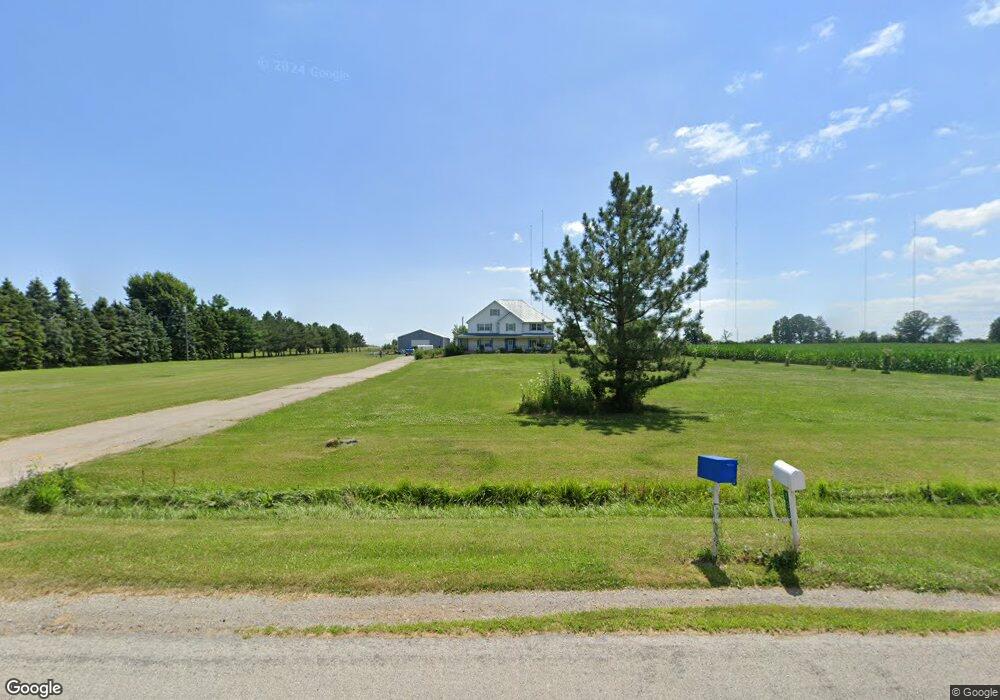
7370 Labo Rd South Rockwood, MI 48179
Berlin Township NeighborhoodEstimated Value: $498,938 - $570,000
--
Bed
1
Bath
2,940
Sq Ft
$183/Sq Ft
Est. Value
About This Home
This home is located at 7370 Labo Rd, South Rockwood, MI 48179 and is currently estimated at $537,313, approximately $182 per square foot. 7370 Labo Rd is a home located in Monroe County with nearby schools including Jefferson High School and St. Charles Borromeo Academy.
Ownership History
Date
Name
Owned For
Owner Type
Purchase Details
Closed on
Jul 25, 2016
Sold by
Cbs Broadcasting Inc and Cbs Inc
Bought by
Cbs Radio Inc
Current Estimated Value
Home Financials for this Owner
Home Financials are based on the most recent Mortgage that was taken out on this home.
Interest Rate
3.45%
Purchase Details
Closed on
Jul 3, 2015
Sold by
Roelant Stephen G and Roelant Ann Marie
Bought by
Roelant Stephene G and Roelant Ann Marie
Purchase Details
Closed on
Jun 23, 2015
Sold by
Roelant Charles J
Bought by
Roelant Charles J
Create a Home Valuation Report for This Property
The Home Valuation Report is an in-depth analysis detailing your home's value as well as a comparison with similar homes in the area
Home Values in the Area
Average Home Value in this Area
Purchase History
| Date | Buyer | Sale Price | Title Company |
|---|---|---|---|
| Cbs Radio Inc | $1 | -- | |
| Roelant Stephene G | -- | None Available | |
| Roelant Charles J | -- | None Available | |
| Roelant Stephene G | -- | None Available |
Source: Public Records
Mortgage History
| Date | Status | Borrower | Loan Amount |
|---|---|---|---|
| Closed | Cbs Radio Inc | -- |
Source: Public Records
Tax History Compared to Growth
Tax History
| Year | Tax Paid | Tax Assessment Tax Assessment Total Assessment is a certain percentage of the fair market value that is determined by local assessors to be the total taxable value of land and additions on the property. | Land | Improvement |
|---|---|---|---|---|
| 2025 | $4,120 | $270,500 | $270,500 | $0 |
| 2024 | $1,809 | $219,400 | $0 | $0 |
| 2023 | $1,723 | $163,700 | $0 | $0 |
| 2022 | $3,726 | $163,700 | $0 | $0 |
| 2021 | $3,590 | $228,600 | $0 | $0 |
| 2020 | $5,068 | $179,000 | $0 | $0 |
| 2019 | $3,406 | $179,000 | $0 | $0 |
| 2018 | $3,370 | $176,800 | $0 | $0 |
| 2017 | $3,304 | $176,800 | $0 | $0 |
| 2016 | $3,503 | $155,000 | $0 | $0 |
| 2015 | $3,244 | $134,867 | $0 | $0 |
| 2014 | $3,137 | $134,867 | $0 | $0 |
| 2013 | -- | $130,380 | $0 | $0 |
Source: Public Records
Map
Nearby Homes
- Parcel E Us Turnpike Rd
- Parcel C Us Turnpike Rd
- Parcel B Us Turnpike Rd
- Parcel D Us Turnpike Rd
- Parcel A Us Turnpike Rd
- 0000 Oak Blvd
- 8025 S Huron River Dr Unit 11
- 36168 Ruth St
- 15713 Milliman Rd
- 7888 Lakeshore Dr
- 0 Lakeshore Dr Unit 50173302
- 34844 W Jefferson Ave
- 8348 N Dixie Hwy
- 7405 Ottiellie St
- 5165 Mattison Rd
- 6590 S Huron River Dr
- 19300 Holdren St Unit 137
- 19712 Uroda St
- 33195 Swallow Dr
- 35280 Marcus Dr