7370 Macarthur Blvd Glen Echo, MD 20812
Estimated Value: $2,420,856
Studio
--
Bath
8,625
Sq Ft
$281/Sq Ft
Est. Value
About This Home
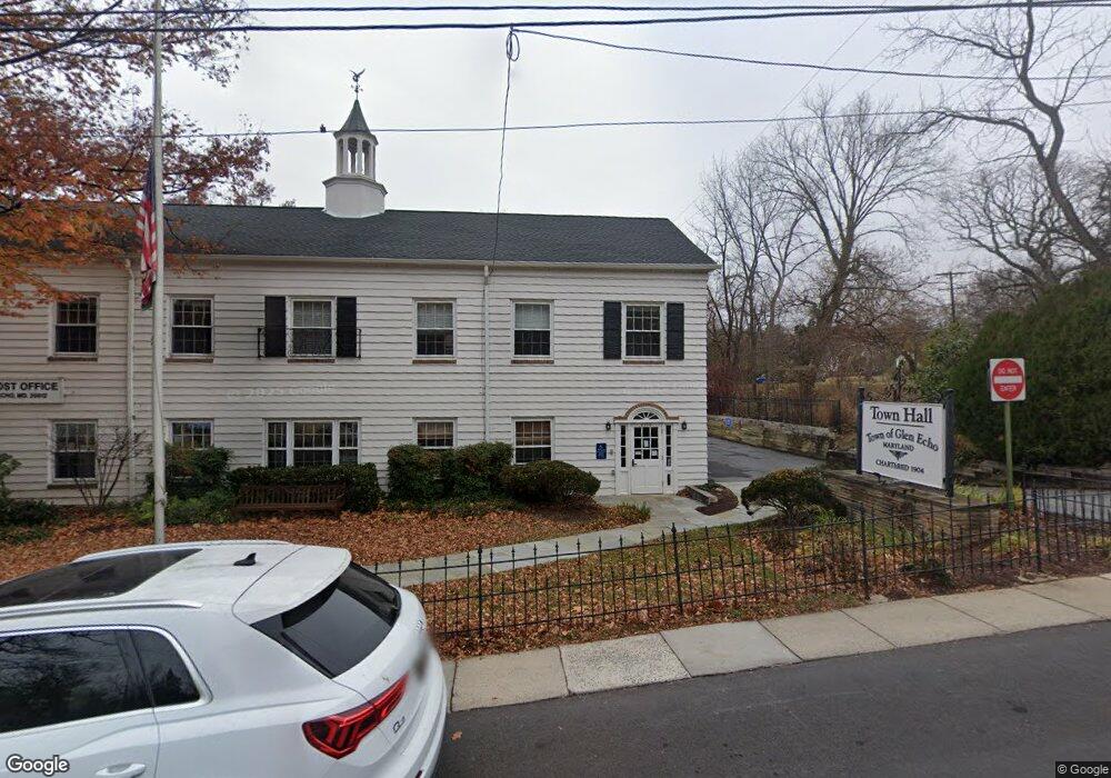
This home is located at 7370 Macarthur Blvd, Glen Echo, MD 20812 and is currently estimated at $2,420,856, approximately $280 per square foot. 7370 Macarthur Blvd is a home located in Montgomery County with nearby schools including Bannockburn Elementary School, Thomas W. Pyle Middle School, and Walt Whitman High School.
Ownership History
Date
Name
Owned For
Owner Type
Purchase Details
Closed on
Dec 28, 2021
Sold by
Hoohoohoooo Llc
Bought by
Old Bird House Llc
Current Estimated Value
Home Financials for this Owner
Home Financials are based on the most recent Mortgage that was taken out on this home.
Original Mortgage
$100,000
Interest Rate
3.05%
Mortgage Type
New Conventional
Purchase Details
Closed on
Mar 19, 1996
Sold by
Garfield Peter and Garfield J
Bought by
Hoo & Hoo Hoooooo Enterprises Inc
Create a Home Valuation Report for This Property
The Home Valuation Report is an in-depth analysis detailing your home's value as well as a comparison with similar homes in the area
Home Values in the Area
Average Home Value in this Area
Purchase History
| Date | Buyer | Sale Price | Title Company |
|---|---|---|---|
| Old Bird House Llc | $2,150,000 | None Listed On Document | |
| Hoo & Hoo Hoooooo Enterprises Inc | $654,500 | -- |
Source: Public Records
Mortgage History
| Date | Status | Borrower | Loan Amount |
|---|---|---|---|
| Previous Owner | Old Bird House Llc | $100,000 | |
| Previous Owner | Old Bird House Llc | $1,612,500 |
Source: Public Records
Tax History
| Year | Tax Paid | Tax Assessment Tax Assessment Total Assessment is a certain percentage of the fair market value that is determined by local assessors to be the total taxable value of land and additions on the property. | Land | Improvement |
|---|---|---|---|---|
| 2025 | $25,746 | $2,126,000 | $598,500 | $1,527,500 |
| 2024 | $25,746 | $1,864,767 | $0 | $0 |
| 2023 | $22,330 | $1,603,533 | $0 | $0 |
| 2022 | $18,325 | $1,342,300 | $598,500 | $743,800 |
| 2021 | $17,724 | $1,299,533 | $0 | $0 |
| 2020 | $16,388 | $1,256,767 | $0 | $0 |
| 2019 | $15,784 | $1,214,000 | $544,100 | $669,900 |
| 2018 | $15,690 | $1,204,567 | $0 | $0 |
| 2017 | $15,855 | $1,195,133 | $0 | $0 |
| 2016 | -- | $1,185,700 | $0 | $0 |
| 2015 | $13,200 | $1,147,533 | $0 | $0 |
| 2014 | $13,200 | $1,109,367 | $0 | $0 |
Source: Public Records
Map
Nearby Homes
- 6705 Goldsboro Rd
- 6908 Carmichael Ave
- 6570 Fallwind Ln
- 7115 Crail Dr
- 6209 Redwing Ct
- 7630 Tomlinson Ave Unit L16
- 6216 Massachusetts Ave
- 6514 76th St
- 6202 Redwing Rd
- 6405 Redwing Rd
- 6019 Woodacres Dr
- 6315 Haviland Dr
- 7502 Nevis Rd
- 6005 Corbin Rd
- 7215 Helmsdale Rd
- 6628 Landon Ln
- 7201 Selkirk Dr
- 6008 Osceola Rd
- 6116 Eastview St
- 7008 Amy Ln
- 6105 Bryn Mawr Ave
- 6103 Bryn Mawr Ave
- 6104 Bryn Mawr Ave
- 6101 Bryn Mawr Ave
- 6104 Harvard Ave
- 6102 Bryn Mawr Ave
- 6106 Bryn Mawr Ave
- 6100 Harvard Ave
- 7325 University Ave
- 6109 Harvard Ave
- 12 Wellesley Cir
- 6105 Harvard Ave
- 6108 Bryn Mawr Ave
- 6106 Yale Ave
- 7317 University Ave
- 6809 Annan Dr
- 6008 Bryn Mawr Ave
- 6101 Harvard Ave
- 6713 Annan Dr
- 6005 Bryn Mawr Ave
Your Personal Tour Guide
Ask me questions while you tour the home.