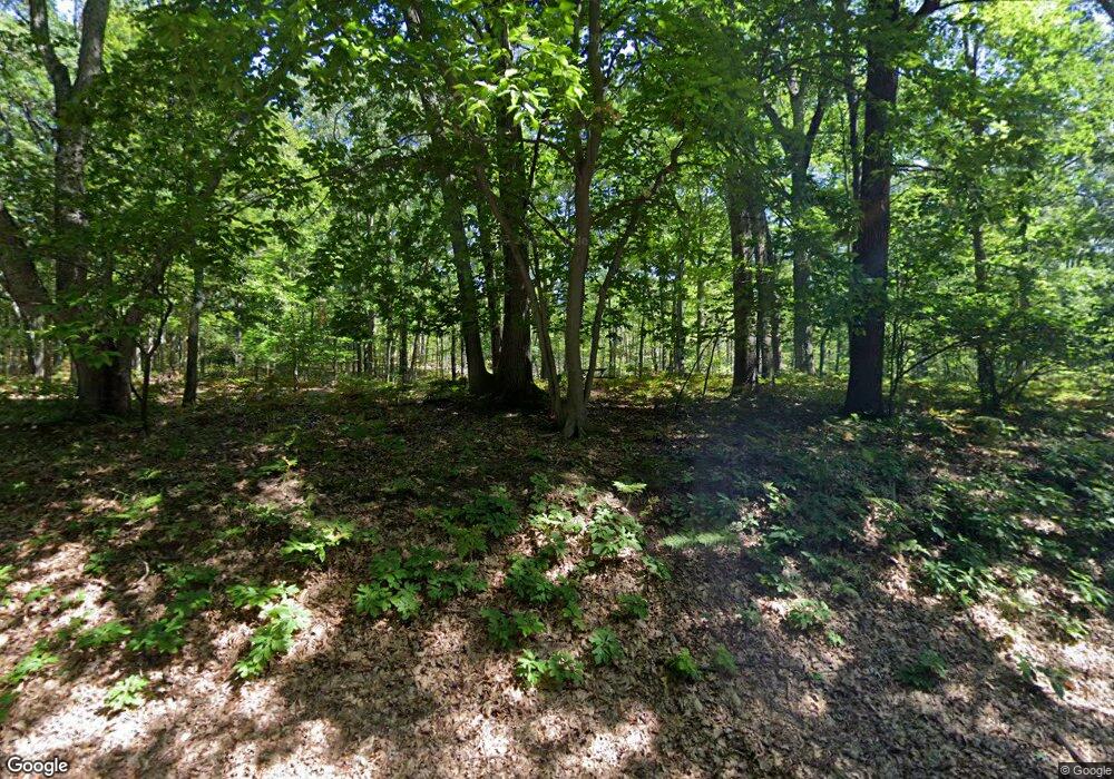
7370 N Poplar Rd Free Soil, MI 49411
Estimated Value: $37,283 - $171,000
--
Bed
--
Bath
--
Sq Ft
13
Acres
About This Home
This home is located at 7370 N Poplar Rd, Free Soil, MI 49411 and is currently estimated at $117,761. 7370 N Poplar Rd is a home located in Mason County.
Ownership History
Date
Name
Owned For
Owner Type
Purchase Details
Closed on
Jun 23, 2020
Sold by
Jacobson Michell H
Bought by
Wilson Joyellen
Current Estimated Value
Purchase Details
Closed on
May 24, 2019
Sold by
Holden Michell H and Jacobson Robertson
Bought by
Holden Michell H
Purchase Details
Closed on
Aug 1, 2011
Sold by
Holden Michell H
Bought by
Holden Michell H and Jacobson Robert
Home Financials for this Owner
Home Financials are based on the most recent Mortgage that was taken out on this home.
Original Mortgage
$39,200
Interest Rate
4.52%
Mortgage Type
New Conventional
Purchase Details
Closed on
Oct 31, 2008
Sold by
Bruesch Charles and Bruesch Sherry
Bought by
Williams James D and Williams Christine
Purchase Details
Closed on
Feb 1, 1978
Create a Home Valuation Report for This Property
The Home Valuation Report is an in-depth analysis detailing your home's value as well as a comparison with similar homes in the area
Home Values in the Area
Average Home Value in this Area
Purchase History
| Date | Buyer | Sale Price | Title Company |
|---|---|---|---|
| Wilson Joyellen | $25,000 | None Available | |
| Holden Michell H | -- | -- | |
| Holden Michell H | -- | Lighthouse Title Inc | |
| Holden Michell H | -- | None Available | |
| Williams James D | $24,700 | None Available | |
| -- | $10,000 | -- |
Source: Public Records
Mortgage History
| Date | Status | Borrower | Loan Amount |
|---|---|---|---|
| Previous Owner | Holden Michell H | $39,200 |
Source: Public Records
Tax History Compared to Growth
Tax History
| Year | Tax Paid | Tax Assessment Tax Assessment Total Assessment is a certain percentage of the fair market value that is determined by local assessors to be the total taxable value of land and additions on the property. | Land | Improvement |
|---|---|---|---|---|
| 2025 | $547 | $28,000 | $28,000 | $0 |
| 2024 | -- | $25,200 | $25,200 | $0 |
| 2023 | -- | $15,900 | $15,900 | $0 |
| 2022 | -- | $13,800 | $0 | $0 |
| 2021 | $1,827 | $11,000 | $0 | $0 |
| 2020 | $1,827 | $11,000 | $0 | $0 |
| 2019 | -- | -- | $0 | $0 |
| 2018 | -- | -- | $0 | $0 |
| 2017 | -- | -- | $0 | $0 |
| 2016 | -- | -- | $0 | $0 |
| 2015 | -- | -- | $0 | $0 |
| 2013 | -- | -- | $0 | $0 |
Source: Public Records
Map
Nearby Homes
- 7075 N Poplar Rd
- 4333 E Town Line Rd
- V L 118a E Townline Rd
- 6387 N Larson Rd
- V/L E Free Soil Rd
- 0 E Freesoil Unit 40 acres 24030243
- 6088 N Larson Rd
- 1217 E Beyer Rd
- 1997 E Townline Rd
- 5680 E Shores Dr
- V/L 118A E Townline Rd
- 2269 W Treml Rd
- 5915 E Fountain Rd
- 4293 N Schoenherr Rd
- 5341 N Benson Rd
- Parcel 2 E Koenig Rd
- V/L Benson Rd
- Parcel 1 E Koenig Rd
- 6875 Sauble Rd
- 2702 E Hoague Rd
- 7370 N Poplar Rd
- 7322 N Poplar Rd
- 7322 N Poplar Rd
- 4162 E Ottawa Dr
- 7335 N Poplar Rd
- 4203 E Ottawa Dr
- 4169 E Ottawa Dr
- 4155 E Ottawa Dr
- 4114 E Ottawa Dr
- 4141 E Ottawa Dr
- 7301 N Poplar Rd
- 4115 E Ottawa Dr
- 7289 N Poplar Rd
- 0 E Ottawa Dr
- 7278 N Poplar Rd
- 7278 N Poplar Rd
- 7281 N Poplar Rd
- 7331 N Poplar Rd
- 4088 E Ottawa Dr
- 4099 E Ottawa Dr