Estimated payment $341/month
About This Lot
great building lot on Marion Oaks Unit 10, Adjoining lot 19 also available
Listing Agent
KIEFER REALTY, PA Brokerage Phone: 352-861-6000 License #3020554 Listed on: 02/20/2025
Property Details
Property Type
- Land
Est. Annual Taxes
- $378
Lot Details
- 10,019 Sq Ft Lot
- Lot Dimensions are 80x125
- Property is zoned R1
Utilities
- Septic Tank
- Private Sewer
Community Details
- No Home Owners Association
- Marion Oaks Un 10 Subdivision
Listing and Financial Details
- Legal Lot and Block 18 / 953
- Assessor Parcel Number 8010-0953-18
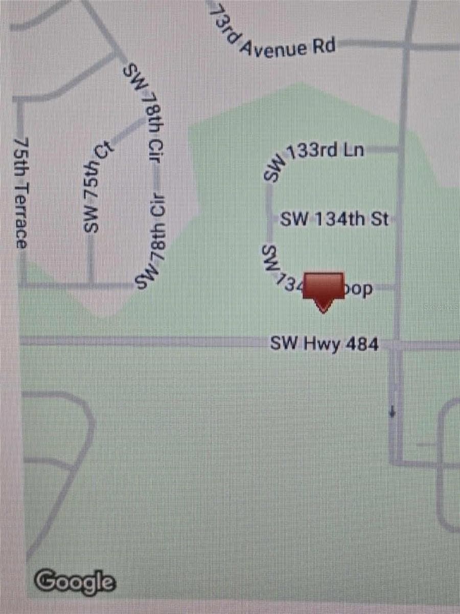
Map
Home Values in the Area
Average Home Value in this Area
Tax History
| Year | Tax Paid | Tax Assessment Tax Assessment Total Assessment is a certain percentage of the fair market value that is determined by local assessors to be the total taxable value of land and additions on the property. | Land | Improvement |
|---|---|---|---|---|
| 2025 | $435 | $9,218 | -- | -- |
| 2024 | $378 | $8,380 | -- | -- |
| 2023 | $378 | $7,618 | $0 | $0 |
| 2022 | $277 | $6,925 | $0 | $0 |
| 2021 | $235 | $10,630 | $10,630 | $0 |
| 2020 | $215 | $8,400 | $8,400 | $0 |
| 2019 | $209 | $8,100 | $8,100 | $0 |
| 2018 | $191 | $6,700 | $6,700 | $0 |
| 2017 | $169 | $4,300 | $4,300 | $0 |
| 2016 | $178 | $4,114 | $0 | $0 |
| 2015 | $162 | $3,740 | $0 | $0 |
| 2014 | $157 | $3,400 | $0 | $0 |
Property History
| Date | Event | Price | List to Sale | Price per Sq Ft | Prior Sale |
|---|---|---|---|---|---|
| 02/20/2025 02/20/25 | For Sale | $59,900 | +1397.5% | -- | |
| 04/08/2016 04/08/16 | Sold | $4,000 | +37.9% | -- | View Prior Sale |
| 03/09/2016 03/09/16 | Pending | -- | -- | -- | |
| 10/03/2015 10/03/15 | For Sale | $2,900 | -- | -- |
Purchase History
| Date | Type | Sale Price | Title Company |
|---|---|---|---|
| Special Warranty Deed | $4,000 | Wollinka Wikle Title Ins Age | |
| Quit Claim Deed | -- | Attorney | |
| Warranty Deed | $47,500 | Brick City Title Ins Co Inc |
Source: Stellar MLS
MLS Number: OM695654
APN: 8010-0953-18
Disclaimer: Certain information contained herein is derived from information provided by parties other than Homes.com. All information provided is deemed reliable, but is not guaranteed to be accurate and should be independently verified.
![]() Based on information submitted to the MLS GRID. All data is obtained from various sources and may not have been verified by broker or MLS GRID. Supplied Open House Information is subject to change without notice. All information should be independently reviewed and verified for accuracy. Properties may or may not be listed by the office/agent presenting the information. Some IDX listings have been excluded from this website. IDX information is provided exclusively for personal, non-commercial use, and may not be used for any purpose other than to identify prospective properties consumers may be interested in purchasing. Information is deemed reliable but not guaranteed.
Based on information submitted to the MLS GRID. All data is obtained from various sources and may not have been verified by broker or MLS GRID. Supplied Open House Information is subject to change without notice. All information should be independently reviewed and verified for accuracy. Properties may or may not be listed by the office/agent presenting the information. Some IDX listings have been excluded from this website. IDX information is provided exclusively for personal, non-commercial use, and may not be used for any purpose other than to identify prospective properties consumers may be interested in purchasing. Information is deemed reliable but not guaranteed.
Based on information submitted to the MLS GRID
Listing Information presented by local MLS brokerage: Ten-X - (888)-952-6393
- 7364 SW 133 Loop NE
- 7376 SW 133rd Loop
- 7199 SW 135th Place
- 7075 SW 131st Loop
- 75 Sw
- 7179 SW 135th Place
- 13433 SW 75th Ct
- 7161 SW 135th Place
- 13224 SW 73rd Avenue Rd
- 7057 SW 131st Loop
- 13267 SW 79th Cir
- 13753 SW 79 Terrace Rd
- 7078 SW 134th St
- TBD SW 136th St
- TBA SW 136 St
- 13634 SW 79 Terrace Rd
- 13444 SW 76th Ct
- TBD SW 78th Cir
- 13169 SW 73rd Avenue Rd
- 13250 SW 79th Cir
- 7057 SW 131st Loop
- 13169 SW 73rd Avenue Rd
- 13106 SW 72nd Terrace Rd
- 13354 SW 77th Ave
- 13401 SW 77th Ave
- 13145 SW 78th Cir
- 13130 SW 78th Cir
- 7883 SW 138 Street Rd
- 7554 SW 129th Place
- 623 Marion Oaks Trail
- 612 Marion Oaks Trail
- 8013 SW Hwy 484
- 13047 SW 79th Cir
- 586 Marion Oaks Trail
- 6547 SW 132nd St
- 13505 SW 81 Cir
- 6531 SW 131st Place
- 6605 SW 129th Loop
- 8330 SW 136th St
- 8509 SW 136th Loop

Ask me questions while you tour the home.