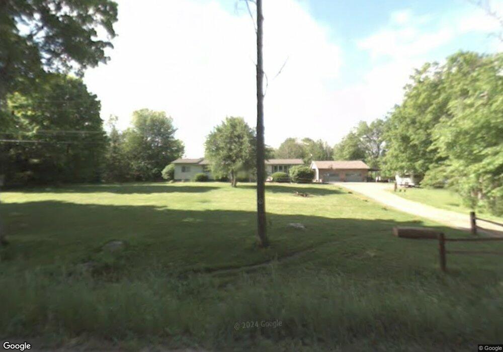
7373 Card Rd Kimball, MI 48074
Estimated Value: $251,000 - $279,000
3
Beds
2
Baths
1,564
Sq Ft
$171/Sq Ft
Est. Value
About This Home
This home is located at 7373 Card Rd, Kimball, MI 48074 and is currently estimated at $267,441, approximately $170 per square foot. 7373 Card Rd is a home located in St. Clair County with nearby schools including Kimball Elementary School, Central Middle School, and Port Huron High School.
Create a Home Valuation Report for This Property
The Home Valuation Report is an in-depth analysis detailing your home's value as well as a comparison with similar homes in the area
Home Values in the Area
Average Home Value in this Area
Tax History Compared to Growth
Tax History
| Year | Tax Paid | Tax Assessment Tax Assessment Total Assessment is a certain percentage of the fair market value that is determined by local assessors to be the total taxable value of land and additions on the property. | Land | Improvement |
|---|---|---|---|---|
| 2025 | $1,664 | $121,500 | $0 | $0 |
| 2024 | $942 | $113,100 | $0 | $0 |
| 2023 | $863 | $106,200 | $0 | $0 |
| 2022 | $1,486 | $91,900 | $0 | $0 |
| 2021 | $1,341 | $80,700 | $0 | $0 |
| 2020 | $1,341 | $67,500 | $67,500 | $0 |
| 2019 | $1,316 | $58,000 | $0 | $0 |
| 2018 | $1,285 | $58,700 | $0 | $0 |
| 2017 | $1,259 | $62,900 | $0 | $0 |
| 2016 | $703 | $62,900 | $0 | $0 |
| 2015 | -- | $56,900 | $56,900 | $0 |
| 2014 | -- | $50,400 | $50,400 | $0 |
| 2013 | -- | $48,600 | $0 | $0 |
Source: Public Records
Map
Nearby Homes
- 1900 Burns Rd
- 1533 Richman Rd
- VL Lambs Rd
- 0 Sparling Rd Unit 2210034403
- 7710 Sparling Rd
- 0 Sparling Unit 20230091288
- 1688 Sturdevant Rd
- 8067 Lambs Rd
- 8237 Lambs Rd
- 1371 Sturdevant Rd
- 1261 Sturdevant Rd
- 6417 Dove Rd
- 2906 Castor Rd
- 6928 Smiths Creek Rd
- 6928 Lapeer Rd
- I-69 vac Taylor Dr
- 1671 Ditty Rd
- 00 Griswold Rd
- 355 Henry St
- 0000 Conrad Dr