7375 Cole Rd Reading, MI 49274
Estimated Value: $193,439 - $320,000
Studio
2
Baths
2,256
Sq Ft
$126/Sq Ft
Est. Value
About This Home
This home is located at 7375 Cole Rd, Reading, MI 49274 and is currently estimated at $285,110, approximately $126 per square foot. 7375 Cole Rd is a home located in Hillsdale County with nearby schools including Reynolds Elementary School and Reading High School.
Ownership History
Date
Name
Owned For
Owner Type
Purchase Details
Closed on
May 3, 2024
Sold by
Hacker Maynard A and Hacker Flora J
Bought by
Rodriguez Rudy and Rodriguez Charlotte
Current Estimated Value
Purchase Details
Closed on
Dec 30, 2015
Sold by
Engel David B and Engel Jane E
Bought by
Hacker Maynard A and Hacker Flora J
Purchase Details
Closed on
Jul 25, 2011
Sold by
Engel Herman and Engel Mary
Bought by
Engel David B and Engel Jane E
Purchase Details
Closed on
Jun 25, 2004
Sold by
Engel David B and Engel Jane
Bought by
Wachovia Bank Na and Long Beach Mortgage Loan Trust 2002-2
Create a Home Valuation Report for This Property
The Home Valuation Report is an in-depth analysis detailing your home's value as well as a comparison with similar homes in the area
Purchase History
| Date | Buyer | Sale Price | Title Company |
|---|---|---|---|
| Rodriguez Rudy | $150,000 | Bell Title | |
| Hacker Maynard A | $100,000 | Bell Title | |
| Hacker Maynard A | -- | Midstate Title | |
| Engel David B | -- | None Available | |
| Wachovia Bank Na | $105,803 | -- |
Source: Public Records
Tax History
| Year | Tax Paid | Tax Assessment Tax Assessment Total Assessment is a certain percentage of the fair market value that is determined by local assessors to be the total taxable value of land and additions on the property. | Land | Improvement |
|---|---|---|---|---|
| 2025 | $1,375 | $126,000 | $0 | $0 |
| 2024 | $8 | $115,200 | $0 | $0 |
| 2023 | $736 | $107,700 | $0 | $0 |
| 2022 | $1,651 | $95,200 | $0 | $0 |
| 2021 | $1,606 | $84,200 | $0 | $0 |
| 2020 | $1,593 | $84,300 | $0 | $0 |
| 2019 | $1,533 | $69,600 | $0 | $0 |
| 2018 | $1,461 | $58,500 | $0 | $0 |
| 2017 | $1,478 | $60,000 | $0 | $0 |
Source: Public Records
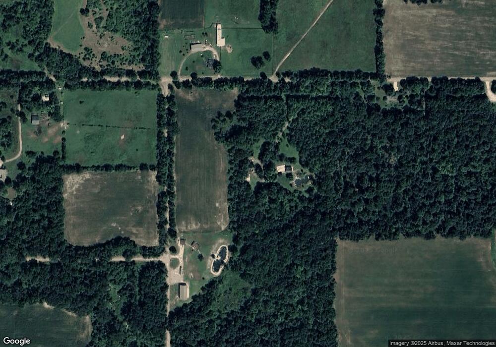
Map
Nearby Homes
- 8941 Kellogg Dr
- 8875 Kellogg Dr
- 9055 Kellogg Dr
- 9059 Kellogg Dr
- 9222 Beech Dr
- 2408 Spruce Dr
- 1725 Hemlock Rd
- 9180 Arkansaw Rd
- 6331 Bacon Rd
- 4380 Abbott Rd
- 3870 Rus Dic Dr
- 2201 S Sand Lake Rd
- 1750 Pierce Rd
- 4111 Blair Rd
- 4048 Bankers Rd
- 5211 Long Lake Rd
- 5100 Long Lake Rd
- 5339 Lake Dr
- 4427 Carpenter Rd
- 226 Strong St
- 7380 Cole Rd
- 7840 Shaffer Rd
- 7611 Cole Rd
- 2400 S Edon Rd
- 7751 Shaffer Rd
- 2460 Balcom Rd
- 7765 Shaffer Rd
- 7760 Shaffer Rd
- 7779 Shaffer Rd
- 7780 Shaffer Rd
- 7790 Shaffer Rd
- 7800 Shaffer Rd
- 8096 Sunset Dr
- 1900 Edon Rd
- 1900 S Edon Rd
- 7820 Shaffer Rd
- 2211 S Edon Rd
- 7821 Shaffer Rd
- 7846 Shaffer Rd
- 7850 Shaffer Rd
Your Personal Tour Guide
Ask me questions while you tour the home.