7375 Rock Canyon Dr SW Unit 6 Byron Center, MI 49315
Estimated Value: $347,991 - $378,000
--
Bed
2
Baths
1,330
Sq Ft
$270/Sq Ft
Est. Value
About This Home
This home is located at 7375 Rock Canyon Dr SW Unit 6, Byron Center, MI 49315 and is currently estimated at $359,248, approximately $270 per square foot. 7375 Rock Canyon Dr SW Unit 6 is a home located in Kent County with nearby schools including Marshall Elementary School, Robert L. Nickels Intermediate School, and Byron Center West Middle School.
Ownership History
Date
Name
Owned For
Owner Type
Purchase Details
Closed on
Jan 25, 2017
Sold by
Koli William A
Bought by
Koli Judith M
Current Estimated Value
Purchase Details
Closed on
Aug 10, 2005
Sold by
Sierrafield Llc
Bought by
Koli William A and Koli Judith M
Home Financials for this Owner
Home Financials are based on the most recent Mortgage that was taken out on this home.
Original Mortgage
$185,200
Outstanding Balance
$98,162
Interest Rate
5.8%
Mortgage Type
Fannie Mae Freddie Mac
Estimated Equity
$261,086
Create a Home Valuation Report for This Property
The Home Valuation Report is an in-depth analysis detailing your home's value as well as a comparison with similar homes in the area
Home Values in the Area
Average Home Value in this Area
Purchase History
| Date | Buyer | Sale Price | Title Company |
|---|---|---|---|
| Koli Judith M | -- | None Available | |
| Koli William A | $231,593 | -- |
Source: Public Records
Mortgage History
| Date | Status | Borrower | Loan Amount |
|---|---|---|---|
| Open | Koli William A | $185,200 |
Source: Public Records
Tax History Compared to Growth
Tax History
| Year | Tax Paid | Tax Assessment Tax Assessment Total Assessment is a certain percentage of the fair market value that is determined by local assessors to be the total taxable value of land and additions on the property. | Land | Improvement |
|---|---|---|---|---|
| 2025 | $2,493 | $173,000 | $0 | $0 |
| 2024 | $2,493 | $158,400 | $0 | $0 |
| 2023 | $2,385 | $140,900 | $0 | $0 |
| 2022 | $2,271 | $145,300 | $0 | $0 |
| 2021 | $3,188 | $143,400 | $0 | $0 |
| 2020 | $2,195 | $132,300 | $0 | $0 |
| 2019 | $3,111 | $127,700 | $0 | $0 |
| 2018 | $3,048 | $121,500 | $5,000 | $116,500 |
| 2017 | $2,965 | $110,600 | $0 | $0 |
| 2016 | $2,858 | $103,800 | $0 | $0 |
| 2015 | $2,808 | $103,800 | $0 | $0 |
| 2013 | -- | $91,600 | $0 | $0 |
Source: Public Records
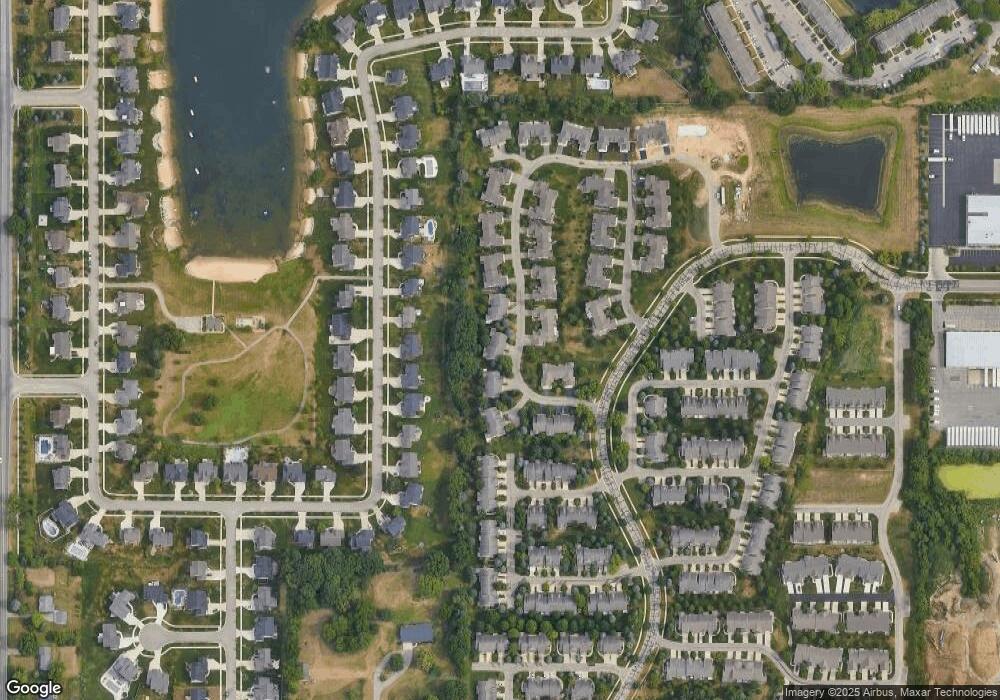
Map
Nearby Homes
- 7356 Cactus Cove SW
- 1228 Mesa Jct
- 1220 Kingman Ct SW
- 7440 Navajo Valley Dr SW
- 1223 Madera Ct
- 1215 Madera Ct
- 1213 Madera Ct
- 1211 Madera Ct
- 1209 Madera Ct
- 1557 Marksbury Ct
- 7485 Crooked Creek Dr SW
- 7074 Nantucket Dr SW
- 1645 Springwind Dr SW
- 7615 Sofia Dr SW Unit 60
- 1752 Springwind Dr SW
- 1058 Amberwood West Dr SW
- 924 Amberwood West Dr SW
- 1757 Julienne Ct SW
- 1493 Dexter Dr SW Unit 34
- 1501 Dexter St SW Unit 35
- 7377 Rock Canyon Dr SW Unit 5
- 7371 Rock Canyon Dr SW Unit 7
- 7381 Rock Canyon Dr SW Unit 4
- 7369 Rock Canyon Dr SW Unit E8
- 7372 Rock Canyon Dr SW
- 7372 Rock Canyon Dr SW Unit A
- 7372 Rock Canyon Dr SW Unit 18
- 7370 Rock Canyon Dr SW Unit A
- 7383 Rock Canyon Dr SW Unit 3
- 7357 Rock Canyon Dr SW
- 7394 Rock Canyon Dr SW Unit A
- 7394 Rock Canyon Dr SW
- 7355 Rock Canyon Dr SW
- 7396 Rock Canyon Dr SW Unit A
- 7387 Rock Canyon Dr SW Unit 2
- 7387 Rock Canyon Dr SW
- 7358 Rock Canyon Dr SW
- 7389 Rock Canyon Dr SW
- 7302 Rosie Shores Dr
- 7391 Rock Canyon Dr SW Unit 9