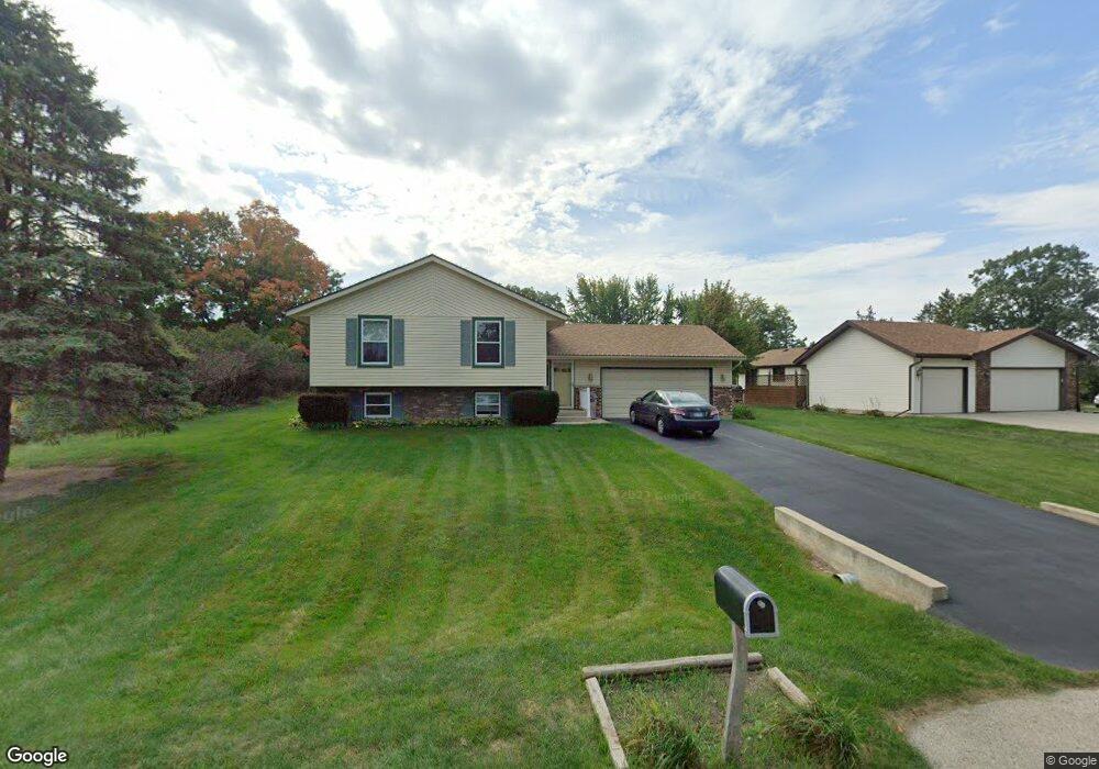
7377 Ryebrook Rd Rockford, IL 61114
Estimated Value: $184,000 - $257,000
4
Beds
2
Baths
1,796
Sq Ft
$124/Sq Ft
Est. Value
About This Home
This home is located at 7377 Ryebrook Rd, Rockford, IL 61114 and is currently estimated at $222,157, approximately $123 per square foot. 7377 Ryebrook Rd is a home located in Winnebago County with nearby schools including Spring Creek Elementary School, Eisenhower Middle School, and Guilford High School.
Ownership History
Date
Name
Owned For
Owner Type
Purchase Details
Closed on
Dec 5, 2014
Sold by
Warner Donald R and Warner Janet L
Bought by
Wade William H and Wade Julette M
Current Estimated Value
Home Financials for this Owner
Home Financials are based on the most recent Mortgage that was taken out on this home.
Original Mortgage
$65,000
Outstanding Balance
$49,771
Interest Rate
3.91%
Mortgage Type
New Conventional
Estimated Equity
$172,386
Purchase Details
Closed on
Jun 30, 1992
Bought by
Wade William H and Wade Julette M
Create a Home Valuation Report for This Property
The Home Valuation Report is an in-depth analysis detailing your home's value as well as a comparison with similar homes in the area
Purchase History
| Date | Buyer | Sale Price | Title Company |
|---|---|---|---|
| Wade William H | -- | -- | |
| Wade William H | $94,000 | -- |
Source: Public Records
Mortgage History
| Date | Status | Borrower | Loan Amount |
|---|---|---|---|
| Open | Wade William H | $65,000 | |
| Closed | Wade William H | $50,006 |
Source: Public Records
Tax History
| Year | Tax Paid | Tax Assessment Tax Assessment Total Assessment is a certain percentage of the fair market value that is determined by local assessors to be the total taxable value of land and additions on the property. | Land | Improvement |
|---|---|---|---|---|
| 2024 | $4,221 | $55,541 | $8,695 | $46,846 |
| 2023 | $3,943 | $48,974 | $7,667 | $41,307 |
| 2022 | $4,186 | $47,637 | $6,852 | $40,785 |
| 2021 | $4,005 | $43,680 | $6,283 | $37,397 |
| 2020 | $3,895 | $41,294 | $5,940 | $35,354 |
| 2019 | $3,799 | $39,357 | $5,661 | $33,696 |
| 2018 | $3,722 | $37,081 | $5,335 | $31,746 |
| 2017 | $3,633 | $35,488 | $5,106 | $30,382 |
| 2016 | $3,599 | $0 | $0 | $0 |
| 2015 | $1,822 | $34,823 | $5,010 | $29,813 |
| 2014 | $3,250 | $32,205 | $6,272 | $25,933 |
Source: Public Records
Map
Nearby Homes
- 3472 Springwheat
- 3603 Springwheat
- 3378 Prairie View Dr
- 7636 Creek Bend Unit 7636
- 7757 Irvingdale Close
- 6833 Cardigan Way
- 6933 Paddock Ln
- 6673 Thomas Pkwy
- 41XX Back St
- 74XX Rock Valley Pkwy
- 6625 Sawgrass Dr Unit 1
- 6625 Sawgrass Dr
- 6642 Sawgrass Dr Unit 2
- 4416 Squaw Valley Dr
- 4418 Squaw Valley Dr
- 4420 Squaw Valley Dr
- 26XX Tuck-A-way Trail
- 6571 Chartwell Dr
- 2634 Tuck A Way Trail
- 7241 Chucks Way
- 3529 Springwheat
- 7399 Ryebrook Rd
- 7392 Currytail Close
- 7370 Currytail Close
- 7404 Currytail Close
- 7356 Ryebrook Rd
- 7392 Ryebrook Rd
- 3512 Springwheat
- 7422 Currytail Close
- 3490 Springwheat
- 3532 Springwheat
- 3559 Springwheat
- 7421 Ryebrook Rd
- 7446 Currytail Close
- 7383 Currytail Close
- 3550 Springwheat
- 7401 Currytail Close
- 3560 Ryebrook Ct
- 7450 Ryebrook Rd
- 3573 Springwheat
Your Personal Tour Guide
Ask me questions while you tour the home.