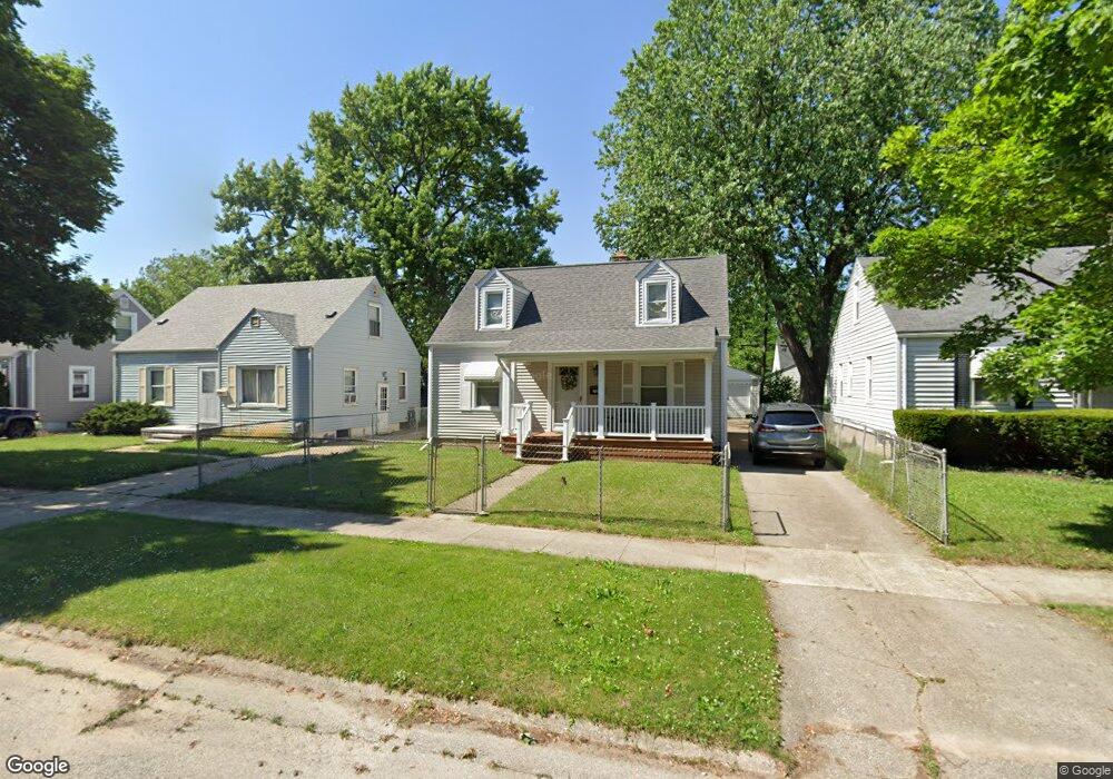
738 Alvord Ave Flint, MI 48507
South Side NeighborhoodEstimated Value: $53,000 - $79,112
3
Beds
1
Bath
917
Sq Ft
$75/Sq Ft
Est. Value
About This Home
This home is located at 738 Alvord Ave, Flint, MI 48507 and is currently estimated at $68,778, approximately $75 per square foot. 738 Alvord Ave is a home located in Genesee County with nearby schools including Neithercut Elementary School, Flint Southwestern Classical Academy, and International Academy of Flint (K-12).
Ownership History
Date
Name
Owned For
Owner Type
Purchase Details
Closed on
Sep 5, 2014
Sold by
Sumpter Charles E and Sumpter Willene
Bought by
Sumpter Charles E and Sumpter Willene
Current Estimated Value
Purchase Details
Closed on
Dec 11, 2013
Sold by
Petkoff George K and Petkoff Suzanne K
Bought by
Petkoff George K and Petkoff Suzanne K
Purchase Details
Closed on
Jul 20, 2007
Sold by
Smith Chester R and Smith Carolyn
Bought by
Sumpter Charles E and Sumpter Willene
Create a Home Valuation Report for This Property
The Home Valuation Report is an in-depth analysis detailing your home's value as well as a comparison with similar homes in the area
Home Values in the Area
Average Home Value in this Area
Purchase History
| Date | Buyer | Sale Price | Title Company |
|---|---|---|---|
| Sumpter Charles E | -- | None Available | |
| Petkoff George K | -- | None Available | |
| Sumpter Charles E | -- | None Available |
Source: Public Records
Tax History Compared to Growth
Tax History
| Year | Tax Paid | Tax Assessment Tax Assessment Total Assessment is a certain percentage of the fair market value that is determined by local assessors to be the total taxable value of land and additions on the property. | Land | Improvement |
|---|---|---|---|---|
| 2025 | $955 | $24,700 | $0 | $0 |
| 2024 | $866 | $22,800 | $0 | $0 |
| 2023 | $851 | $17,200 | $0 | $0 |
| 2022 | $0 | $16,000 | $0 | $0 |
| 2021 | $884 | $14,000 | $0 | $0 |
| 2020 | $798 | $13,100 | $0 | $0 |
| 2019 | $779 | $11,000 | $0 | $0 |
| 2018 | $785 | $11,100 | $0 | $0 |
| 2017 | $763 | $0 | $0 | $0 |
| 2016 | $758 | $0 | $0 | $0 |
| 2015 | -- | $0 | $0 | $0 |
| 2014 | -- | $0 | $0 | $0 |
| 2012 | -- | $14,400 | $0 | $0 |
Source: Public Records
Map
Nearby Homes
- 805 Alvord Ave
- 647 Crawford St
- 652 Huron St
- 818 Alvord Ave
- 829 Clinton St
- 845 Alvord Ave
- 631 Campbell St
- 627 Campbell St
- 822 Campbell St
- 4418 Brunswick Ave
- 738 W Atherton Rd
- 727 Waldman Ave
- 3902 Cuthbertson St
- 1015 Alvord Ave
- 616 Pettibone Ave
- 1031 Ingleside Ave
- 1028 Campbell St
- 1186 E Decamp St
- 805 Vermilya Ave
- 1230 E Decamp St
- 734 Alvord Ave
- 742 Alvord Ave
- 746 Alvord Ave
- 730 Alvord Ave
- 737 Crawford St
- 733 Crawford St
- 741 Crawford St
- 726 Alvord Ave
- 745 Crawford St
- 729 Crawford St
- 750 Alvord Ave
- 737 Alvord Ave
- 725 Crawford St
- 749 Crawford St
- 722 Alvord Ave
- 745 Alvord Ave
- 729 Alvord Ave
- 721 Crawford St
- 749 Alvord Ave
- 725 Alvord Ave