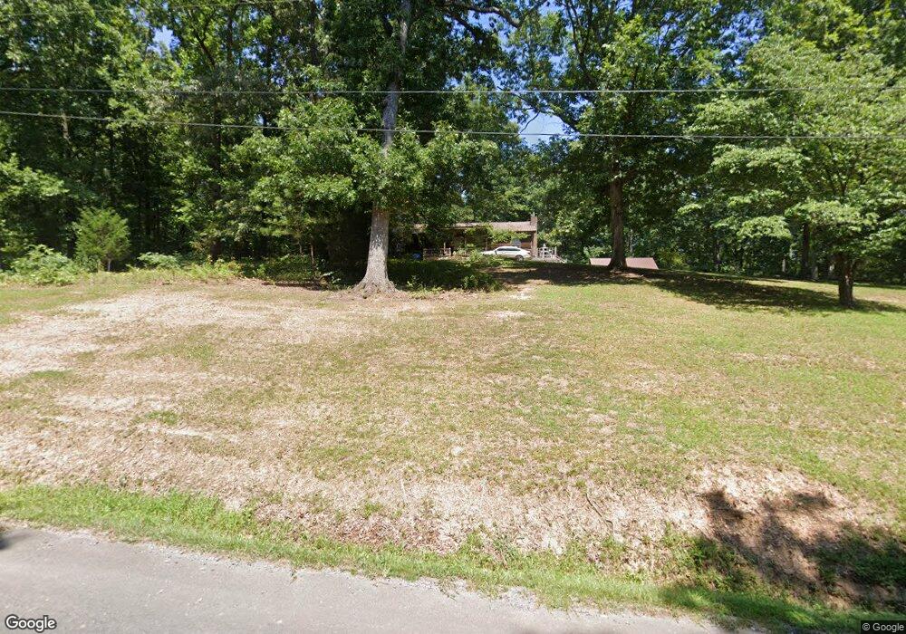
738 Bettis Rd Chatsworth, GA 30705
Estimated Value: $161,000 - $188,413
--
Bed
2
Baths
1,248
Sq Ft
$145/Sq Ft
Est. Value
About This Home
This home is located at 738 Bettis Rd, Chatsworth, GA 30705 and is currently estimated at $180,353, approximately $144 per square foot. 738 Bettis Rd is a home located in Murray County with nearby schools including Woodlawn Elementary School, Bagley Middle School, and North Murray High School.
Ownership History
Date
Name
Owned For
Owner Type
Purchase Details
Closed on
Apr 7, 2025
Sold by
Williams Thomas E
Bought by
Land Josh and Land Summer
Current Estimated Value
Purchase Details
Closed on
May 10, 2001
Sold by
Dlm Ventures Inc
Bought by
Williams Thomas E and Williams Candace M
Purchase Details
Closed on
Dec 5, 2000
Sold by
Strickland Robert Ry
Bought by
Dlm Ventures Inc
Purchase Details
Closed on
Jun 15, 1998
Sold by
Osborne David Bryan
Bought by
Strickland Robert Ry
Purchase Details
Closed on
Jul 14, 1992
Bought by
Strickland Robert Ry
Create a Home Valuation Report for This Property
The Home Valuation Report is an in-depth analysis detailing your home's value as well as a comparison with similar homes in the area
Home Values in the Area
Average Home Value in this Area
Purchase History
| Date | Buyer | Sale Price | Title Company |
|---|---|---|---|
| Land Josh | $160,000 | -- | |
| Williams Thomas E | $87,000 | -- | |
| Dlm Ventures Inc | $63,900 | -- | |
| Strickland Robert Ry | -- | -- | |
| Strickland Robert Ry | $54,000 | -- |
Source: Public Records
Tax History Compared to Growth
Tax History
| Year | Tax Paid | Tax Assessment Tax Assessment Total Assessment is a certain percentage of the fair market value that is determined by local assessors to be the total taxable value of land and additions on the property. | Land | Improvement |
|---|---|---|---|---|
| 2024 | $1,278 | $54,356 | $2,920 | $51,436 |
| 2023 | $1,361 | $56,712 | $2,920 | $53,792 |
| 2022 | $1,179 | $49,152 | $2,760 | $46,392 |
| 2021 | $979 | $39,792 | $2,760 | $37,032 |
| 2020 | $814 | $33,072 | $2,640 | $30,432 |
| 2019 | $817 | $33,072 | $2,640 | $30,432 |
| 2018 | $817 | $33,072 | $2,640 | $30,432 |
| 2017 | $0 | $29,152 | $2,640 | $26,512 |
| 2016 | $618 | $29,236 | $5,840 | $23,396 |
| 2015 | -- | $29,236 | $5,840 | $23,396 |
| 2014 | -- | $29,236 | $5,840 | $23,396 |
| 2013 | -- | $29,236 | $5,840 | $23,396 |
Source: Public Records
Map
Nearby Homes
- 156 Goldsmith Ln
- 0 Leon Cir
- 210 Gordon Dr
- 185 Cedar Ridge Rd SE
- 741 North Dr SE
- 279 Satterfield Rd SE
- 4386 Tibbs Bridge Rd SE
- 543 Callie Jones Rd
- 404 Lakeview Dr SE
- 0 Old Free Hope Rd
- 0 Ledford Ave SE
- 185 Cedar Ridge Rd
- 0 Cheree Way Unit 129259
- 162 Alcoa Dr
- Lt 30-33 Indian Dr NE
- 4322 Banks Dr SE
- Lot 30-33 Indian Trail NE
- 1259 Rollins Ketchum Rd
- 760 Keith Rd SE
- 0 Rollins Ketchum Rd
- 421 Martha Sue Dr
- 716 Bettis Rd
- 515 Martha Sue Dr
- 86 Goldsmith Ln
- 796 Bettis Rd
- 50 Goldsmith Ln
- 470 Martha Sue Dr
- 118 Goldsmith Ln
- 559 Martha Sue Dr
- 371 Martha Sue Dr
- 19 Goldsmith Ln
- 876 Bettis Rd
- 523 Leon Cir
- 606 Bettis Rd
- 11 Goldsmith Ln
- 591 Leon Cir
- 335 Martha Sue Dr
- 883 Bettis Rd
- 886 Bettis Rd
- 431 Leon Cir