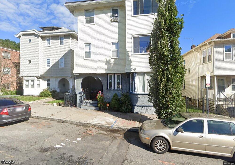
738 Cummins Hwy Unit 740 Mattapan, MA 02126
Southern Mattapan NeighborhoodEstimated Value: $1,017,000 - $1,128,000
9
Beds
3
Baths
4,063
Sq Ft
$262/Sq Ft
Est. Value
About This Home
This home is located at 738 Cummins Hwy Unit 740, Mattapan, MA 02126 and is currently estimated at $1,065,000, approximately $262 per square foot. 738 Cummins Hwy Unit 740 is a home located in Suffolk County with nearby schools including KIPP Academy Boston Charter School, Boston Preparatory Charter Public School, and Berea Seventh-day Adventist Academy.
Ownership History
Date
Name
Owned For
Owner Type
Purchase Details
Closed on
Jul 22, 2015
Sold by
Franklin Dorothy M
Bought by
Toney Xenia and Morris Latoya
Current Estimated Value
Create a Home Valuation Report for This Property
The Home Valuation Report is an in-depth analysis detailing your home's value as well as a comparison with similar homes in the area
Home Values in the Area
Average Home Value in this Area
Purchase History
| Date | Buyer | Sale Price | Title Company |
|---|---|---|---|
| Toney Xenia | -- | -- |
Source: Public Records
Tax History Compared to Growth
Tax History
| Year | Tax Paid | Tax Assessment Tax Assessment Total Assessment is a certain percentage of the fair market value that is determined by local assessors to be the total taxable value of land and additions on the property. | Land | Improvement |
|---|---|---|---|---|
| 2025 | $6,675 | $576,400 | $161,600 | $414,800 |
| 2024 | $6,034 | $553,600 | $173,200 | $380,400 |
| 2023 | $5,776 | $537,800 | $168,300 | $369,500 |
| 2022 | $5,571 | $512,000 | $160,200 | $351,800 |
| 2021 | $5,303 | $497,000 | $155,500 | $341,500 |
| 2020 | $4,364 | $413,300 | $147,500 | $265,800 |
| 2019 | $3,962 | $375,900 | $112,700 | $263,200 |
| 2018 | $3,786 | $361,300 | $112,700 | $248,600 |
| 2017 | $3,576 | $337,700 | $112,700 | $225,000 |
| 2016 | $3,472 | $315,600 | $112,700 | $202,900 |
| 2015 | $3,655 | $301,800 | $104,100 | $197,700 |
| 2014 | $3,516 | $279,500 | $104,100 | $175,400 |
Source: Public Records
Map
Nearby Homes
- 839-843 Cummins Hwy
- 770 Cummins Hwy Unit 1
- 770 Cummins Hwy Unit 22
- 231 Itasca St
- 10 Brockton St
- 34 Ridlon Rd
- 95 Woodhaven St
- 90 Hollingsworth St
- 179 Hebron St
- 100 Itasca St
- 72 Livermore St
- 48-50 Rockdale St
- 20 Monterey Ave
- 60 and 64 Monterey Ave
- 23 Caton St
- 265 Hebron St
- 14-14R Kennebec St
- 116 Almont St
- 25 Alpine St Unit 7
- 645 River St
- 736 Cummins Hwy
- 734 Cummins Hwy Unit 736
- 742 Cummins Hwy Unit 744
- 4 Hallowell St
- 730 Cummins Hwy
- 730 Cummins Hwy Unit 6
- 730 Cummins Hwy Unit 5
- 730 Cummins Hwy Unit 4
- 730 Cummins Hwy Unit 3
- 730 Cummins Hwy Unit 2
- 730 Cummins Hwy Unit 1
- 728 Cummins Hwy Unit 8
- 728 Cummins Hwy Unit 7
- 8 Hallowell St
- 13 Corman Rd
- 3 Corman Rd
- 1 Corman Rd Unit 1
- 3 Corman Rd Unit 2
- 12 Hallowell St
- 5 Corman Rd