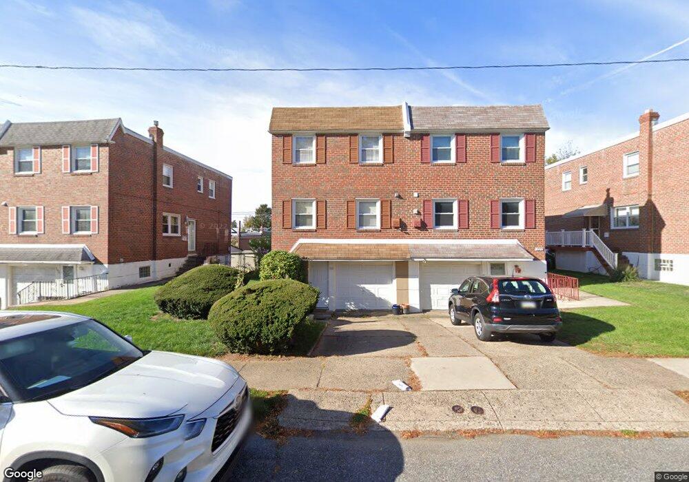
738 Kentwood St Philadelphia, PA 19116
Somerton NeighborhoodEstimated Value: $343,000 - $372,000
3
Beds
3
Baths
1,554
Sq Ft
$229/Sq Ft
Est. Value
About This Home
This home is located at 738 Kentwood St, Philadelphia, PA 19116 and is currently estimated at $355,780, approximately $228 per square foot. 738 Kentwood St is a home located in Philadelphia County with nearby schools including Loesche William H School, CCA Baldi Middle School, and George Washington High School.
Ownership History
Date
Name
Owned For
Owner Type
Purchase Details
Closed on
Jan 28, 2021
Sold by
Silver Linda G
Bought by
Yuldashev Mukhammadsoli
Current Estimated Value
Home Financials for this Owner
Home Financials are based on the most recent Mortgage that was taken out on this home.
Original Mortgage
$251,750
Interest Rate
2.8%
Mortgage Type
New Conventional
Purchase Details
Closed on
Apr 29, 1966
Bought by
Edward Silver and Edward Linda G
Create a Home Valuation Report for This Property
The Home Valuation Report is an in-depth analysis detailing your home's value as well as a comparison with similar homes in the area
Home Values in the Area
Average Home Value in this Area
Purchase History
| Date | Buyer | Sale Price | Title Company |
|---|---|---|---|
| Yuldashev Mukhammadsoli | $265,000 | Alpert Abstract Llc | |
| Edward Silver | -- | -- |
Source: Public Records
Mortgage History
| Date | Status | Borrower | Loan Amount |
|---|---|---|---|
| Previous Owner | Yuldashev Mukhammadsoli | $251,750 |
Source: Public Records
Tax History Compared to Growth
Tax History
| Year | Tax Paid | Tax Assessment Tax Assessment Total Assessment is a certain percentage of the fair market value that is determined by local assessors to be the total taxable value of land and additions on the property. | Land | Improvement |
|---|---|---|---|---|
| 2025 | $3,856 | $343,000 | $68,600 | $274,400 |
| 2024 | $3,856 | $343,000 | $68,600 | $274,400 |
| 2023 | $3,856 | $275,500 | $55,100 | $220,400 |
| 2022 | $3,047 | $275,500 | $55,100 | $220,400 |
| 2021 | $3,047 | $0 | $0 | $0 |
| 2020 | $3,047 | $0 | $0 | $0 |
| 2019 | $2,870 | $0 | $0 | $0 |
| 2018 | $2,702 | $0 | $0 | $0 |
| 2017 | $2,702 | $0 | $0 | $0 |
| 2016 | $2,702 | $0 | $0 | $0 |
| 2015 | $2,586 | $0 | $0 | $0 |
| 2014 | -- | $193,000 | $70,370 | $122,630 |
| 2012 | -- | $25,312 | $4,885 | $20,427 |
Source: Public Records
Map
Nearby Homes
- 770 Selmer Rd
- 10236 Selmer Terrace
- 10236 Jeanes St
- 10752 Jeanes St
- 831 Lawler St
- 859 Selmer Rd
- 1120 Chesworth Rd
- 412 Avon Place
- 1112 Selmer Rd
- 9975 Woodfern Rd
- 375 Avon St
- 11003 Stevens Rd
- 9945 Jeanes St
- 9962 Woodfern Rd
- 9908 00 Bustleton Ave Unit F9
- 9908 Bustleton Ave Unit H23
- 813 Piermont St
- 9949 Woodfern Rd
- 9933 Medway Rd
- 11012 Audubon Ave
- 736 Kentwood St
- 740 Kentwood St
- 742 Kentwood St
- 734 Kentwood St
- 732 Kentwood St
- 744 Kentwood St
- 723 Greymont St
- 725 Greymont St
- 727 Greymont St
- 721 Greymont St
- 746 Kentwood St
- 729 Greymont St
- 730 Kentwood St
- 728 Kentwood St
- 731 Greymont St
- 719 Greymont St
- 748 Kentwood St
- 733 Greymont St
- 717 Greymont St
- 10145 Bridle Rd