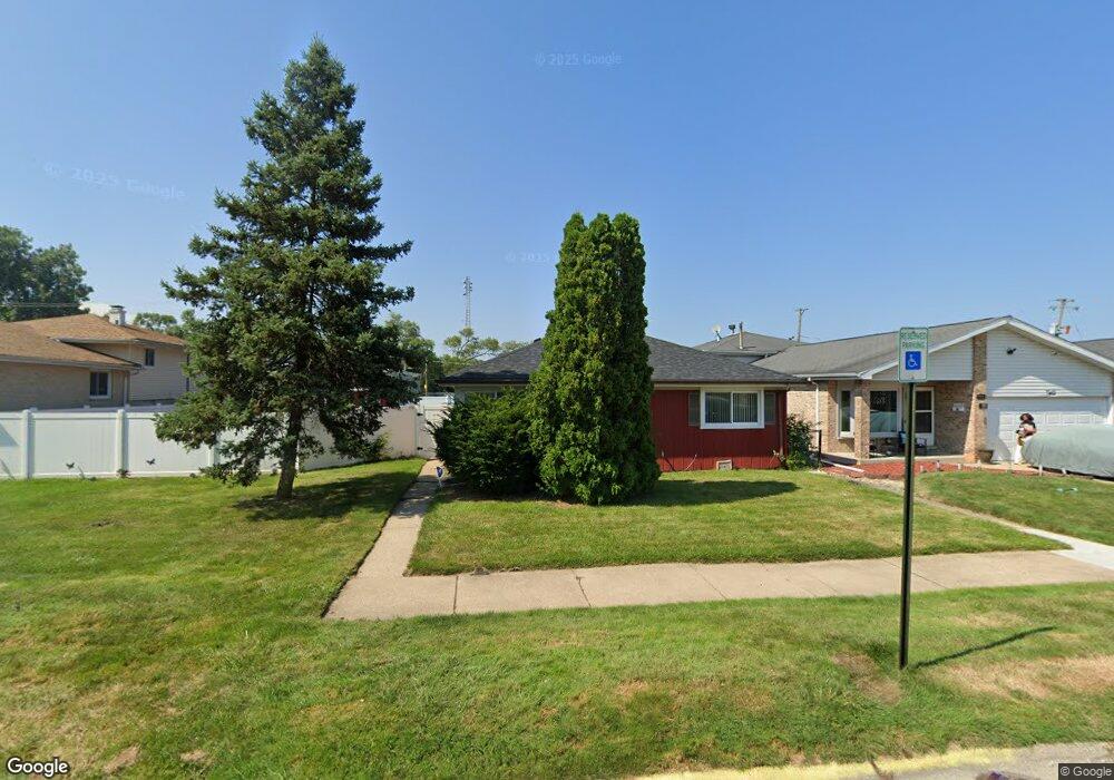
738 Mcarthur Ct Dolton, IL 60419
Estimated Value: $228,000
--
Bed
--
Bath
--
Sq Ft
5,009
Sq Ft Lot
About This Home
This home is located at 738 Mcarthur Ct, Dolton, IL 60419 and is currently estimated at $228,000. 738 Mcarthur Ct is a home located in Cook County with nearby schools including Lincoln Elementary School, Lincoln Junior High School, and Thornridge High School.
Ownership History
Date
Name
Owned For
Owner Type
Purchase Details
Closed on
Jun 30, 1994
Sold by
Mccarthy John M and Mccarthy Julie Ann
Bought by
Overstreet Terrie Tilden
Current Estimated Value
Home Financials for this Owner
Home Financials are based on the most recent Mortgage that was taken out on this home.
Original Mortgage
$113,850
Interest Rate
8.66%
Mortgage Type
FHA
Create a Home Valuation Report for This Property
The Home Valuation Report is an in-depth analysis detailing your home's value as well as a comparison with similar homes in the area
Home Values in the Area
Average Home Value in this Area
Purchase History
| Date | Buyer | Sale Price | Title Company |
|---|---|---|---|
| Overstreet Terrie Tilden | $115,000 | Intercounty Title |
Source: Public Records
Mortgage History
| Date | Status | Borrower | Loan Amount |
|---|---|---|---|
| Closed | Overstreet Terrie Tilden | $113,850 |
Source: Public Records
Tax History Compared to Growth
Tax History
| Year | Tax Paid | Tax Assessment Tax Assessment Total Assessment is a certain percentage of the fair market value that is determined by local assessors to be the total taxable value of land and additions on the property. | Land | Improvement |
|---|---|---|---|---|
| 2024 | $1,691 | $2,572 | $2,125 | $447 |
| 2023 | $1,863 | $2,572 | $2,125 | $447 |
| 2022 | $1,863 | $2,197 | $1,750 | $447 |
| 2021 | $1,841 | $2,196 | $1,750 | $446 |
| 2020 | $1,740 | $2,196 | $1,750 | $446 |
| 2019 | $1,815 | $2,071 | $1,625 | $446 |
| 2018 | $1,761 | $2,071 | $1,625 | $446 |
| 2017 | $1,745 | $2,180 | $1,625 | $555 |
| 2016 | $1,507 | $2,055 | $1,500 | $555 |
| 2015 | $1,461 | $2,055 | $1,500 | $555 |
| 2014 | $1,449 | $2,055 | $1,500 | $555 |
| 2013 | $1,333 | $2,055 | $1,500 | $555 |
Source: Public Records
Map
Nearby Homes
- 14263 Lincoln Ave
- 685 E 142nd St
- 664 E 142nd St
- 14326 Irving Ave
- 14411 Irving Ave
- 631 E 142nd St
- 14408 Lincoln Ave
- 14421 Murray Ave
- 14131 Lincoln Ave
- 14119 Lincoln Ave
- 14400 Shepard Dr
- 14502 Irving Ave
- 14333 Drexel Ave
- 14221 Ingleside Ave
- 14418 Drexel Ave
- 933 E 142nd St
- 14051 Lincoln Ave
- 14325 Ingleside Ave
- 14047 Lincoln Ave
- 14137 Greenwood Rd
- 732 Mcarthur Ct
- 742 Mcarthur Ct
- 14215 Langley Ave
- 746 Mcarthur Ct
- 750 Mcarthur Ct
- 733 E 142nd St
- 745 Mcarthur Ct
- 752 Mcarthur Ct
- 14230 Shepard Dr
- 14216 Langley Ave
- 14208 Langley Ave
- 723 E 142nd St
- 14220 Langley Ave
- 749 Mcarthur Ct
- 14236 Shepard Dr
- 758 Mcarthur Ct
- 753 Mcarthur Ct
- 14238 Shepard Dr
- 757 Mcarthur Ct
- 14242 Shepard Dr