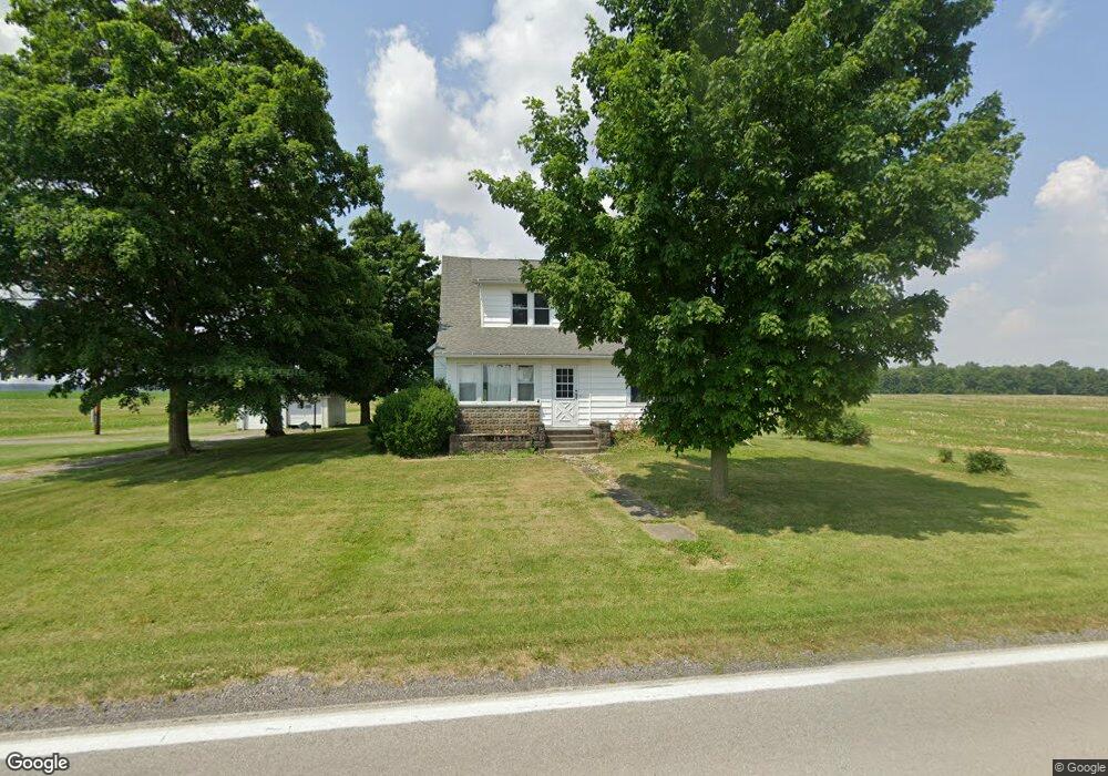
7382 State Route 100 Sycamore, OH 44882
Estimated Value: $152,000 - $659,409
4
Beds
1
Bath
1,012
Sq Ft
$401/Sq Ft
Est. Value
About This Home
This home is located at 7382 State Route 100, Sycamore, OH 44882 and is currently estimated at $405,705, approximately $400 per square foot. 7382 State Route 100 is a home located in Crawford County with nearby schools including Wynford Elementary School and Wynford High School.
Ownership History
Date
Name
Owned For
Owner Type
Purchase Details
Closed on
Dec 9, 2021
Sold by
Stuckey Allen G
Bought by
Allen G Stuckey Living Trust
Current Estimated Value
Purchase Details
Closed on
Jun 14, 2021
Sold by
Estate Of Sandra L Stuckey
Bought by
Stuckey Allen
Purchase Details
Closed on
Apr 23, 2009
Sold by
Swalley Keith A and Swalley Martha J
Bought by
Swalley Martha J
Create a Home Valuation Report for This Property
The Home Valuation Report is an in-depth analysis detailing your home's value as well as a comparison with similar homes in the area
Home Values in the Area
Average Home Value in this Area
Purchase History
| Date | Buyer | Sale Price | Title Company |
|---|---|---|---|
| Allen G Stuckey Living Trust | -- | Bacon David F | |
| Allen G Stuckey Living Trust | -- | Bacon David F | |
| Stuckey Allen | -- | None Available | |
| Swalley Martha J | -- | -- |
Source: Public Records
Tax History Compared to Growth
Tax History
| Year | Tax Paid | Tax Assessment Tax Assessment Total Assessment is a certain percentage of the fair market value that is determined by local assessors to be the total taxable value of land and additions on the property. | Land | Improvement |
|---|---|---|---|---|
| 2024 | $2,954 | $78,030 | $38,720 | $39,310 |
| 2023 | $2,954 | $38,310 | $16,390 | $21,920 |
| 2022 | $1,691 | $38,310 | $16,390 | $21,920 |
| 2021 | $1,756 | $38,310 | $16,390 | $21,920 |
| 2020 | $1,981 | $45,300 | $23,380 | $21,920 |
| 2019 | $2,040 | $45,300 | $23,380 | $21,920 |
| 2018 | $2,087 | $45,300 | $23,380 | $21,920 |
| 2017 | $2,410 | $53,880 | $32,810 | $21,070 |
| 2016 | $1,996 | $53,880 | $32,810 | $21,070 |
| 2015 | $2,027 | $53,880 | $32,810 | $21,070 |
| 2014 | $1,566 | $38,510 | $17,100 | $21,410 |
| 2013 | $1,566 | $38,510 | $17,100 | $21,410 |
Source: Public Records
Map
Nearby Homes
- 7387 Crawford Wyandot County Line Rd
- 712 Eulala Ave
- 7335 S Township Road 159
- 6605 S State Route 100
- 104 E Saffell Ave
- 106 N Sycamore Ave
- 150 E Township Road 42
- 0 Benton St
- 305 W 10th St
- 4277 County Highway 134
- 2776 State Route 103
- 0 S Marion St
- 255 W County Road 6
- 0 S Tr 173 Unit 20252747
- 11 Maple St
- 3667 S Township Road 165
- 6949 Sandusky Ave
- 4432 Marion Melmore Rd
- 1215 E County Road 16
- 166 E County Road 16
- 7399 State Route 100
- 7399 Ohio 100
- 7474 Knauss Rd
- 7351 Knauss Rd
- 7351 Knauss Rd
- 680 New Washington Rd
- 680 New Washington Rd
- 7247 State Route 100
- 7453 Knauss Rd
- 7173 State Route 100
- 850 New Washington Rd
- 7545 Knauss Rd
- 754 Park Rd
- 7389 Marion Melmore Rd
- 505 New Washington Rd
- 470 New Washington Rd
- 470 New Washington Rd
- 7172 State Route 100
- 473 New Washington Rd
- 7460 Marion-Melmore Rd