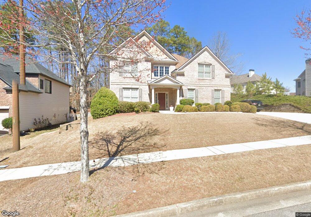
7383 Simon St Atlanta, GA 30349
Estimated Value: $434,086 - $516,000
5
Beds
4
Baths
3,417
Sq Ft
$141/Sq Ft
Est. Value
About This Home
This home is located at 7383 Simon St, Atlanta, GA 30349 and is currently estimated at $482,522, approximately $141 per square foot. 7383 Simon St is a home located in Fulton County with nearby schools including Cliftondale Elementary School, Renaissance Middle School, and Langston Hughes High School.
Ownership History
Date
Name
Owned For
Owner Type
Purchase Details
Closed on
Mar 5, 2024
Sold by
Porter James
Bought by
Oliver Krystil
Current Estimated Value
Purchase Details
Closed on
May 26, 2006
Sold by
Traton Corp Of Gwinnett Inc
Bought by
Porter James and Porter Krystil
Home Financials for this Owner
Home Financials are based on the most recent Mortgage that was taken out on this home.
Original Mortgage
$250,200
Interest Rate
7.38%
Mortgage Type
New Conventional
Create a Home Valuation Report for This Property
The Home Valuation Report is an in-depth analysis detailing your home's value as well as a comparison with similar homes in the area
Home Values in the Area
Average Home Value in this Area
Purchase History
| Date | Buyer | Sale Price | Title Company |
|---|---|---|---|
| Oliver Krystil | -- | -- | |
| Porter James | $312,800 | -- |
Source: Public Records
Mortgage History
| Date | Status | Borrower | Loan Amount |
|---|---|---|---|
| Previous Owner | Porter James | $250,200 |
Source: Public Records
Tax History Compared to Growth
Tax History
| Year | Tax Paid | Tax Assessment Tax Assessment Total Assessment is a certain percentage of the fair market value that is determined by local assessors to be the total taxable value of land and additions on the property. | Land | Improvement |
|---|---|---|---|---|
| 2025 | $7,228 | $148,160 | $35,280 | $112,880 |
| 2023 | $4,894 | $173,400 | $32,560 | $140,840 |
| 2022 | $6,137 | $156,520 | $26,480 | $130,040 |
| 2021 | $4,829 | $120,640 | $23,960 | $96,680 |
| 2020 | $4,850 | $119,200 | $23,680 | $95,520 |
| 2019 | $4,144 | $104,920 | $14,440 | $90,480 |
| 2018 | $4,078 | $102,440 | $14,080 | $88,360 |
| 2017 | $3,586 | $88,000 | $14,080 | $73,920 |
| 2016 | $3,587 | $88,000 | $14,080 | $73,920 |
| 2015 | $3,598 | $88,000 | $14,080 | $73,920 |
| 2014 | $2,969 | $68,840 | $13,040 | $55,800 |
Source: Public Records
Map
Nearby Homes
- 7280 Wright Dr Unit 12
- 3876 Margaux Dr
- 733 Miller Run
- 3912 Margaux Dr
- 7636 Cole Ln
- 7648 Cole Ln Unit 1C
- 7656 Cole Ln
- 204 Saintvry Path
- 3835 Kastler Dr
- 3830 Kastler Dr
- 7192 Linden Dr
- 3832 Kastler Dr
- 7170 Linden Dr
- GRAYSON Plan at Butner Estates
- LYNNBROOK Plan at Butner Estates
- BELLVIEW Plan at Butner Estates
- 7393 Simon St Unit 11
- 7373 Simon St
- 3795 Ailey Ave
- 7380 Wright Dr
- 7403 Simon St
- 7370 Wright Dr
- 7390 Wright Dr
- 7384 Simon St Unit 11
- 7394 Simon St
- 0 Ailey Ave Unit 7456104
- 0 Ailey Ave Unit 7306088
- 0 Ailey Ave Unit 8357730
- 0 Ailey Ave Unit 8285418
- 0 Ailey Ave Unit 8274795
- 0 Ailey Ave Unit 7142166
- 0 Ailey Ave Unit 9017378
- 0 Ailey Ave Unit 8883252
- 0 Ailey Ave Unit 3179962
- 0 Ailey Ave Unit 3233008
- 0 Ailey Ave Unit 3280563