7385 Highfield Beach Dr South Haven, MI 49090
Estimated Value: $1,023,000 - $1,808,000
3
Beds
6
Baths
3,541
Sq Ft
$388/Sq Ft
Est. Value
About This Home
This home is located at 7385 Highfield Beach Dr, South Haven, MI 49090 and is currently estimated at $1,374,172, approximately $388 per square foot. 7385 Highfield Beach Dr is a home located in Allegan County with nearby schools including South Haven High School, St. Basil School, and St. Paul Lutheran School.
Ownership History
Date
Name
Owned For
Owner Type
Purchase Details
Closed on
Apr 30, 2018
Sold by
P & C Property Invbestments Llc
Bought by
Anderson Paul T and The Paul T Anderson Trust
Current Estimated Value
Purchase Details
Closed on
Aug 8, 2017
Sold by
Uldricks Development Inc
Bought by
P & G Property Investments Llc
Purchase Details
Closed on
Aug 12, 2014
Sold by
Coastal Real Estate Holdings Llc
Bought by
Uldriks Development Inc
Home Financials for this Owner
Home Financials are based on the most recent Mortgage that was taken out on this home.
Original Mortgage
$174,500
Interest Rate
4.14%
Mortgage Type
Future Advance Clause Open End Mortgage
Purchase Details
Closed on
Dec 10, 2008
Sold by
Mckeough Land Company Inc
Bought by
Coastal Real Estate Holdings Llc
Create a Home Valuation Report for This Property
The Home Valuation Report is an in-depth analysis detailing your home's value as well as a comparison with similar homes in the area
Home Values in the Area
Average Home Value in this Area
Purchase History
| Date | Buyer | Sale Price | Title Company |
|---|---|---|---|
| Anderson Paul T | -- | None Available | |
| P & G Property Investments Llc | $160,000 | Lighthouse Title Inc | |
| Uldriks Development Inc | -- | Lighthouse Title Inc | |
| Coastal Real Estate Holdings Llc | -- | None Available |
Source: Public Records
Mortgage History
| Date | Status | Borrower | Loan Amount |
|---|---|---|---|
| Previous Owner | Uldriks Development Inc | $174,500 |
Source: Public Records
Tax History Compared to Growth
Tax History
| Year | Tax Paid | Tax Assessment Tax Assessment Total Assessment is a certain percentage of the fair market value that is determined by local assessors to be the total taxable value of land and additions on the property. | Land | Improvement |
|---|---|---|---|---|
| 2025 | -- | $654,400 | $143,400 | $511,000 |
| 2024 | -- | $98,200 | $98,200 | $0 |
| 2023 | -- | $98,200 | $98,200 | $0 |
| 2022 | $0 | $98,200 | $98,200 | $0 |
| 2021 | $3,360 | $98,200 | $98,200 | $0 |
| 2020 | $3,360 | $93,500 | $93,500 | $0 |
| 2019 | $0 | $93,500 | $93,500 | $0 |
| 2018 | $0 | $106,300 | $106,300 | $0 |
| 2017 | $0 | $106,300 | $106,300 | $0 |
| 2016 | $0 | $106,300 | $106,300 | $0 |
| 2015 | -- | $106,300 | $106,300 | $0 |
| 2014 | -- | $106,300 | $106,300 | $0 |
| 2013 | -- | $106,300 | $106,300 | $0 |
Source: Public Records
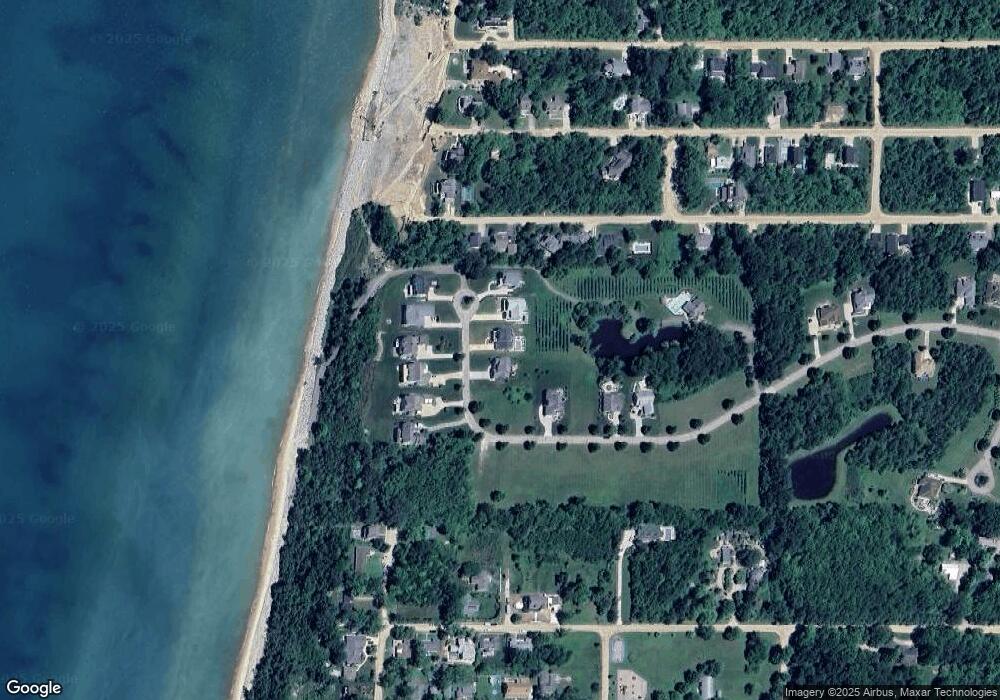
Map
Nearby Homes
- 448 Baseline Rd
- Harbor Club 1870 Plan at Harbor Club
- Harbor Club 2390 Plan at Harbor Club
- Harbor Club 2100 Plan at Harbor Club
- Harbor Club 2070 Plan at Harbor Club
- Harbor Club K2015 Plan at Harbor Club
- Harbor Club 2700 Plan at Harbor Club
- Harbor Club 3100 Plan at Harbor Club
- Harbor Club 1680 Plan at Harbor Club
- Harbor Club 2200 Plan at Harbor Club
- 665 Meadow Dr
- 355 Preserve Dr
- 7361 N Shore Dr
- 653 Preserve Dr
- 7374 N Shore Dr Unit 16
- 500 Virginia Ave Unit 33
- 7433 Baseline Rd
- 1 N Bailey Ave Unit 2
- 1 N Bailey Ave Unit 5
- 1 N Bailey Ave Unit 1
- 7309 Baseline Rd
- 4 Blue Star Hwy
- 1 Blue Star Hwy
- 12 Blue Star Hwy
- 0 Baseline Rd Unit 69002811955
- 0 Baseline Rd Unit M13054381
- 0 Baseline Rd Unit A M13070151
- 0 Baseline Rd Unit B M13070148
- Lot East Baseline Rd
- Lot West Baseline Rd
- 6801 Baseline Rd
- 2 Baseline Rd
- 1 Baseline Rd
- 73083 Baseline Rd
- 1000 Baseline Rd
- 68808 Baseline Rd
- 54428 Baseline Rd
- 0 Baseline Rd
- 3 Baseline Rd
- 7419 Baseline Rd