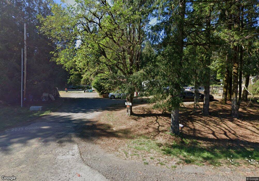
7385 Highway 20 Toledo, OR 97391
Estimated Value: $419,000
3
Beds
1
Bath
1,614
Sq Ft
$260/Sq Ft
Est. Value
About This Home
This home is located at 7385 Highway 20, Toledo, OR 97391 and is currently estimated at $419,000, approximately $259 per square foot. 7385 Highway 20 is a home located in Lincoln County with nearby schools including Toledo Elementary School, Toledo Junior/Senior High School, and Abundant Life Academy.
Ownership History
Date
Name
Owned For
Owner Type
Purchase Details
Closed on
May 18, 2011
Sold by
Deutsche Bank National Trust Company
Bought by
Oregon Coast Investments Llc
Current Estimated Value
Purchase Details
Closed on
May 2, 2005
Sold by
Delapp David L and Delapp Patricia H
Bought by
Wagner Garold D
Home Financials for this Owner
Home Financials are based on the most recent Mortgage that was taken out on this home.
Original Mortgage
$139,500
Interest Rate
6.62%
Mortgage Type
Fannie Mae Freddie Mac
Create a Home Valuation Report for This Property
The Home Valuation Report is an in-depth analysis detailing your home's value as well as a comparison with similar homes in the area
Home Values in the Area
Average Home Value in this Area
Purchase History
| Date | Buyer | Sale Price | Title Company |
|---|---|---|---|
| Oregon Coast Investments Llc | $72,500 | Fidelity Natl Title Co Of Or | |
| Wagner Garold D | -- | First American Title Ins Co |
Source: Public Records
Mortgage History
| Date | Status | Borrower | Loan Amount |
|---|---|---|---|
| Previous Owner | Wagner Garold D | $139,500 |
Source: Public Records
Tax History Compared to Growth
Tax History
| Year | Tax Paid | Tax Assessment Tax Assessment Total Assessment is a certain percentage of the fair market value that is determined by local assessors to be the total taxable value of land and additions on the property. | Land | Improvement |
|---|---|---|---|---|
| 2024 | $2,279 | $189,010 | -- | -- |
| 2023 | $2,208 | $183,510 | $0 | $0 |
| 2022 | $0 | $0 | $0 | $0 |
| 2021 | $218 | $19,500 | $0 | $0 |
| 2020 | $0 | $0 | $0 | $0 |
| 2019 | $2,173 | $181,460 | $0 | $0 |
| 2018 | $10 | $3,150 | $0 | $0 |
| 2017 | $1,526 | $123,490 | $0 | $0 |
| 2016 | $1,374 | $119,820 | $0 | $0 |
| 2015 | $1,336 | $115,560 | $0 | $0 |
| 2014 | $1,302 | $112,200 | $0 | $0 |
| 2013 | -- | $12,330 | $0 | $0 |
Source: Public Records
Map
Nearby Homes
- 329 Olalla Rd
- 2075 NE Mossy Loop
- 1950 NE Sturdevant Rd
- 1979 NE Mossy Loop
- 889 Olalla Rd
- T/L 2303 NE Arcadia Dr Unit T/L 2300 NE ARCADIA
- 1022 Olalla Rd
- 1532 NE Wagon Rd
- 1619 NE Arcadia Dr
- 2303 NE Arcadia Dr Unit 2303
- 936 NE Highway 20
- 29 Neal Loop
- 534 NW Skyline Dr
- 211 NE 12th St
- 585 NW Aspen St
- 935 NE Highway 20
- 570 NW Westwood Terrace
- 662 NE 8th Place
- 1262 NW Meadow Ln
- 3020 Yasek Loop
- 7385 Highway 20
- 7379 U S 20
- 7379 Highway 20
- 7351 Highway 20
- 7351 U S 20
- 3210 U S 20
- 3210 NE Highway 20
- 7731 Highway 20
- 3154 NE Highway 20
- 3125 NE Highway 20
- 3140 NE Highway 20
- 3125 NE Highway 20
- 3120 NE Highway 20
- 3130 NE Highway 20
- 3085 NE Highway 20
- 3140 U S 20
- 3050 U S 20
- 3050 NE Highway 20
- 3025 U S 20
- 3025 NE Highway 20
