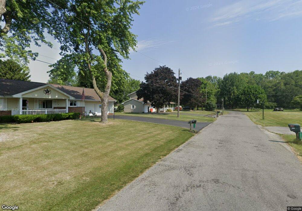
7388 Westland Dr Findlay, OH 45840
Estimated Value: $242,000 - $328,000
4
Beds
3
Baths
1,760
Sq Ft
$165/Sq Ft
Est. Value
About This Home
This home is located at 7388 Westland Dr, Findlay, OH 45840 and is currently estimated at $289,844, approximately $164 per square foot. 7388 Westland Dr is a home located in Hancock County with nearby schools including Liberty-Benton Elementary School, Liberty-Benton Middle School, and Liberty-Benton High School.
Ownership History
Date
Name
Owned For
Owner Type
Purchase Details
Closed on
Feb 8, 2019
Sold by
Stahl Daniel P
Bought by
Barnes Everett R and Barnes Brenda S
Current Estimated Value
Purchase Details
Closed on
Apr 26, 2004
Sold by
Beck Harvey A and Beck Mildred J
Bought by
Stahl Daniel P
Home Financials for this Owner
Home Financials are based on the most recent Mortgage that was taken out on this home.
Original Mortgage
$121,700
Interest Rate
5.75%
Mortgage Type
Purchase Money Mortgage
Create a Home Valuation Report for This Property
The Home Valuation Report is an in-depth analysis detailing your home's value as well as a comparison with similar homes in the area
Home Values in the Area
Average Home Value in this Area
Purchase History
| Date | Buyer | Sale Price | Title Company |
|---|---|---|---|
| Barnes Everett R | $222,000 | Flag City Title Agency Inc | |
| Stahl Daniel P | $152,200 | -- |
Source: Public Records
Mortgage History
| Date | Status | Borrower | Loan Amount |
|---|---|---|---|
| Previous Owner | Stahl Daniel P | $121,700 |
Source: Public Records
Tax History Compared to Growth
Tax History
| Year | Tax Paid | Tax Assessment Tax Assessment Total Assessment is a certain percentage of the fair market value that is determined by local assessors to be the total taxable value of land and additions on the property. | Land | Improvement |
|---|---|---|---|---|
| 2024 | $2,132 | $67,100 | $12,740 | $54,360 |
| 2023 | $2,105 | $67,100 | $12,740 | $54,360 |
| 2022 | $2,099 | $67,100 | $12,740 | $54,360 |
| 2021 | $1,986 | $57,470 | $12,720 | $44,750 |
| 2020 | $2,002 | $57,470 | $12,720 | $44,750 |
| 2019 | $2,164 | $54,940 | $12,720 | $42,220 |
| 2018 | $1,393 | $47,770 | $11,060 | $36,710 |
| 2017 | $1,437 | $47,770 | $11,060 | $36,710 |
| 2016 | $1,403 | $47,770 | $11,060 | $36,710 |
| 2015 | $1,225 | $42,200 | $11,060 | $31,140 |
| 2014 | $1,242 | $42,370 | $11,060 | $31,310 |
| 2012 | $1,299 | $42,370 | $11,060 | $31,310 |
Source: Public Records
Map
Nearby Homes
- 7780 Township Road 89
- 8922 Township Road 94
- 9960 W Us Route 224
- 0 County Road 140
- 9307 W State Route 12
- 0 County Road 95 Unit 6097574
- 8179 Hazelwood Dr
- 8256 Silverwood Dr
- 9220 Colonel Dr
- 2201 W Main Cross St
- 6535 Silver Lake Dr
- 9307 Hiegel Dr
- 9653 Early Dr
- 0 County Road 223
- 2014 W Sandusky St
- 0 Rock Candy Rd Unit Lot 159
- 0 Rock Candy Rd Unit Lot 170
- 0 Rock Candy Rd Unit Lot 172 206819
- 0 Rock Candy Rd Unit Lot 162
- 0 Rock Candy Rd Unit Lot 171
- 7388 Westland Dr
- 7408 Westland Dr
- 7746 W Us Route 224
- 7424 Westland Dr
- 7810 Driftwood Dr
- 7810 Driftwood Dr
- 7446 Westland Dr
- 7828 Driftwood Dr
- 7811 Driftwood Dr
- 7829 Driftwood Dr
- 7848 Driftwood Dr
- 7848 Driftwood Dr
- 7786 W Us Route 224
- 7786 U S 224
- 7847 Driftwood Dr
- 7866 Driftwood Dr
- 7866 Driftwood Dr
- 7834 W Us Route 224
- 7867 Driftwood Dr
- 7884 Driftwood Dr