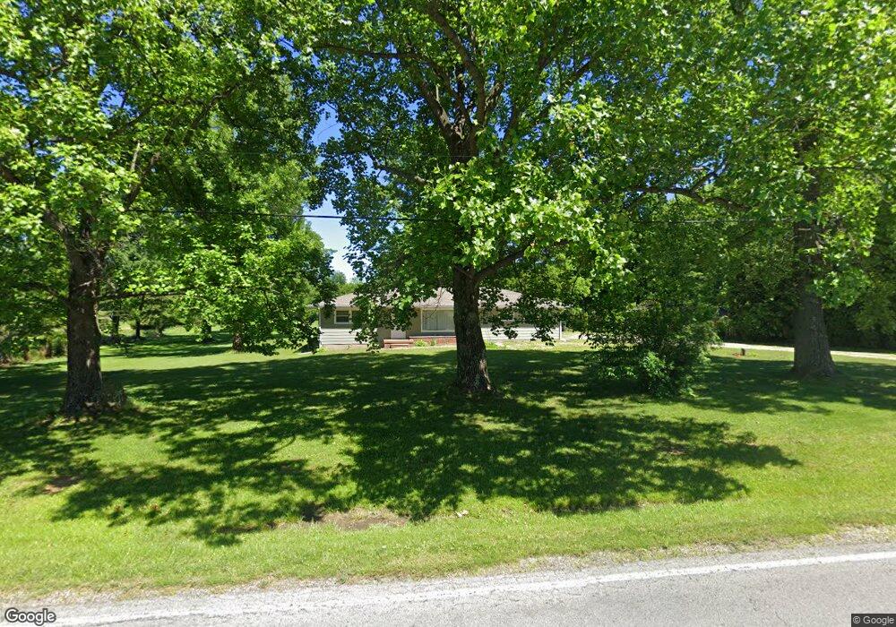
7389 State Rd Wadsworth, OH 44281
Estimated Value: $273,674 - $326,000
2
Beds
6
Baths
1,040
Sq Ft
$287/Sq Ft
Est. Value
About This Home
This home is located at 7389 State Rd, Wadsworth, OH 44281 and is currently estimated at $298,169, approximately $286 per square foot. 7389 State Rd is a home located in Medina County with nearby schools including Highland Middle School, Highland High School, and Northside Christian Academy.
Ownership History
Date
Name
Owned For
Owner Type
Purchase Details
Closed on
Jul 25, 2006
Sold by
Carter Scott T
Bought by
Blessing Aaron M
Current Estimated Value
Home Financials for this Owner
Home Financials are based on the most recent Mortgage that was taken out on this home.
Original Mortgage
$148,000
Outstanding Balance
$88,686
Interest Rate
6.82%
Mortgage Type
Future Advance Clause Open End Mortgage
Estimated Equity
$209,483
Create a Home Valuation Report for This Property
The Home Valuation Report is an in-depth analysis detailing your home's value as well as a comparison with similar homes in the area
Purchase History
| Date | Buyer | Sale Price | Title Company |
|---|---|---|---|
| Blessing Aaron M | $153,000 | -- |
Source: Public Records
Mortgage History
| Date | Status | Borrower | Loan Amount |
|---|---|---|---|
| Open | Blessing Aaron M | $148,000 |
Source: Public Records
Tax History
| Year | Tax Paid | Tax Assessment Tax Assessment Total Assessment is a certain percentage of the fair market value that is determined by local assessors to be the total taxable value of land and additions on the property. | Land | Improvement |
|---|---|---|---|---|
| 2024 | $3,160 | $75,590 | $52,310 | $23,280 |
| 2023 | $3,001 | $75,590 | $52,310 | $23,280 |
| 2022 | $3,032 | $75,590 | $52,310 | $23,280 |
| 2021 | $2,837 | $61,960 | $42,880 | $19,080 |
| 2020 | $2,950 | $61,960 | $42,880 | $19,080 |
| 2019 | $2,943 | $61,960 | $42,880 | $19,080 |
| 2018 | $2,751 | $55,300 | $34,090 | $21,210 |
| 2017 | $2,761 | $55,300 | $34,090 | $21,210 |
| 2016 | $2,305 | $48,520 | $34,090 | $14,430 |
| 2015 | $2,245 | $45,770 | $32,160 | $13,610 |
| 2014 | $2,227 | $45,770 | $32,160 | $13,610 |
| 2013 | $2,231 | $45,770 | $32,160 | $13,610 |
Source: Public Records
Map
Nearby Homes
- 1166 Reserve Blvd
- 7565 John Arthur Ln
- 1250 Reserve Blvd
- 7553 John Arthur Ln
- 1482 Barrymore Ln
- 4896 Ridge Rd
- 1426 Cherry Wood Cir
- 1411 Tullamore Trail
- 1396 Tullamore Trail
- V/L Ridge Varney Rd
- 456 Weatherstone Dr
- 7743 Beach Rd
- 1255 Sharon Copley Rd
- 175 Hahns Way
- 976 Rosemarie Cir Unit 68
- 330 Deepwood Dr
- V/L Hartman Rd
- 2660 S Medina Line Rd
- 1315 Fieldcrest Dr Unit 90
- 281 Park Place Dr Unit 76
- 7403 State Rd
- 7405 State Rd
- 7410 State Rd
- 7345 State Rd
- v/l #7 Tullamore Trail
- v/l #7 Lois Ln
- 7437 State Rd
- 7365 State Rd
- 7317 State Rd
- 7460 State Rd
- 7448 State Rd
- 7298 State Rd
- 7295 State Rd
- 7285 Northview Dr
- 7281 Northview Dr
- 1100 High View Dr
- 7284 State Rd
- 7472 State Rd
- 7484 State Rd
- 1114 High View Dr
Your Personal Tour Guide
Ask me questions while you tour the home.