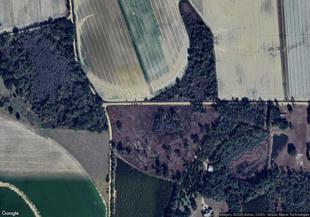
739 Cal Thomas Rd Whigham, GA 39897
Estimated Value: $1,203,000 - $1,617,630
Studio
1
Bath
720
Sq Ft
$1,959/Sq Ft
Est. Value
About This Home
This home is located at 739 Cal Thomas Rd, Whigham, GA 39897 and is currently estimated at $1,410,315, approximately $1,958 per square foot. 739 Cal Thomas Rd is a home with nearby schools including Bainbridge High School.
Ownership History
Date
Name
Owned For
Owner Type
Purchase Details
Closed on
Aug 9, 2011
Sold by
Demartini Edward J and Demartini Claudia D
Bought by
Demartini Claudia D and Claudia D Demartini Revocable
Current Estimated Value
Purchase Details
Closed on
Jan 25, 2007
Sold by
Knight Donald
Bought by
Demartini Edward J
Purchase Details
Closed on
Apr 5, 2006
Sold by
Jones Maeretha
Bought by
Knight Donald
Create a Home Valuation Report for This Property
The Home Valuation Report is an in-depth analysis detailing your home's value as well as a comparison with similar homes in the area
Purchase History
| Date | Buyer | Sale Price | Title Company |
|---|---|---|---|
| Demartini Claudia D | -- | -- | |
| Demartini Edward J | $621,990 | -- | |
| Knight Donald | $342,000 | -- |
Source: Public Records
Tax History
| Year | Tax Paid | Tax Assessment Tax Assessment Total Assessment is a certain percentage of the fair market value that is determined by local assessors to be the total taxable value of land and additions on the property. | Land | Improvement |
|---|---|---|---|---|
| 2024 | $8,331 | $382,211 | $144,640 | $237,571 |
| 2023 | $7,875 | $382,211 | $144,640 | $237,571 |
| 2022 | $7,962 | $381,336 | $144,640 | $236,696 |
| 2021 | $7,365 | $363,532 | $150,914 | $212,618 |
| 2020 | $6,859 | $335,687 | $150,914 | $184,773 |
| 2019 | $6,264 | $310,188 | $150,914 | $159,274 |
| 2018 | $6,035 | $311,700 | $152,426 | $159,274 |
| 2017 | $9,781 | $311,700 | $152,426 | $159,274 |
| 2016 | $5,913 | $379,188 | $219,914 | $159,274 |
| 2015 | $5,912 | $379,188 | $219,914 | $159,274 |
| 2014 | $5,135 | $342,341 | $183,067 | $159,274 |
| 2013 | -- | $323,114 | $166,687 | $156,427 |
Source: Public Records
Map
Nearby Homes
- 0 Cal Thomas Rd
- 0 Eddie Avery Rd Unit 14399
- 547 Eddie Avery Rd
- TBD2 Cumbie Rd
- Tbd Cumbie Rd
- 0 Cumbie Rd
- 114 Pr Harrell Rd
- Jowers Rd
- 217 Martin Rd
- 3339 Old Whigham Rd
- 317 Palmer Rd
- 0 Jowers Rd
- 313 Coker Dr
- 206 Lodge Ln
- 1741 Georgia 112
- 202 W Broad St
- Harrell Mill Rd
- 53 +/- A Bond Rd
- 384 Cleon Waldrop Rd
- 290 Long Rd
