Estimated Value: $184,918 - $216,000
3
Beds
1
Bath
1,360
Sq Ft
$151/Sq Ft
Est. Value
About This Home
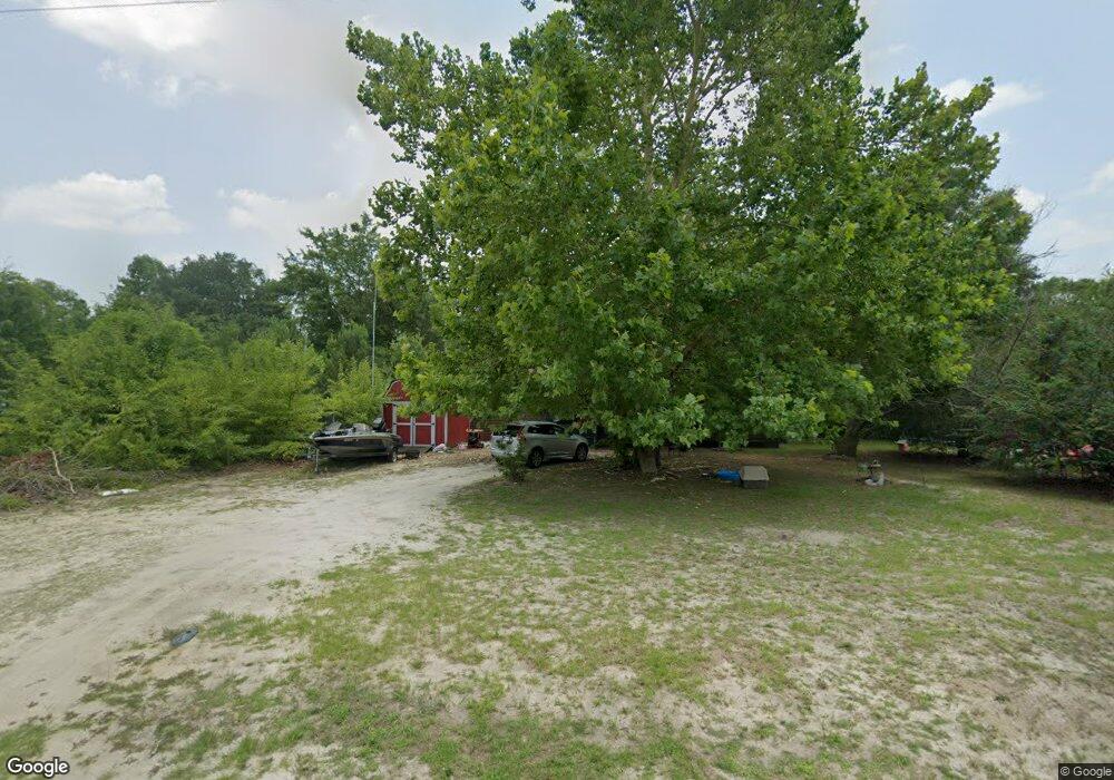
This home is located at 739 Cardinal St, Loris, SC 29569 and is currently estimated at $205,730, approximately $151 per square foot. 739 Cardinal St is a home located in Horry County with nearby schools including Loris Elementary School, Loris Middle School, and Loris High School.
Ownership History
Date
Name
Owned For
Owner Type
Purchase Details
Closed on
Aug 10, 2007
Sold by
Arnold Helen J and Letchworth Dawn M
Bought by
Spencer Benny and Arnold Helen J
Current Estimated Value
Purchase Details
Closed on
Oct 20, 2006
Sold by
Arnold Helen J and Arnold Holly L
Bought by
Arnold Helen J and Letchworth Dawn M
Purchase Details
Closed on
Jul 16, 2004
Sold by
Bennett William H
Bought by
Justus Nancy Miller
Purchase Details
Closed on
Jul 15, 2004
Sold by
Arnold John Lee
Bought by
Arnold Helen J and Arnold Holly L
Create a Home Valuation Report for This Property
The Home Valuation Report is an in-depth analysis detailing your home's value as well as a comparison with similar homes in the area
Home Values in the Area
Average Home Value in this Area
Purchase History
| Date | Buyer | Sale Price | Title Company |
|---|---|---|---|
| Spencer Benny | $71,500 | Attorney | |
| Arnold Helen J | -- | None Available | |
| Justus Nancy Miller | -- | -- | |
| Arnold Helen J | -- | -- |
Source: Public Records
Tax History Compared to Growth
Tax History
| Year | Tax Paid | Tax Assessment Tax Assessment Total Assessment is a certain percentage of the fair market value that is determined by local assessors to be the total taxable value of land and additions on the property. | Land | Improvement |
|---|---|---|---|---|
| 2024 | $1,277 | $5,216 | $1,763 | $3,453 |
| 2023 | $1,277 | $5,141 | $850 | $4,291 |
| 2021 | $1,183 | $4,026 | $566 | $3,460 |
| 2020 | $1,099 | $4,026 | $566 | $3,460 |
| 2019 | $1,099 | $4,026 | $566 | $3,460 |
| 2018 | $0 | $3,045 | $581 | $2,464 |
| 2017 | $980 | $3,045 | $581 | $2,464 |
| 2016 | -- | $3,045 | $581 | $2,464 |
| 2015 | $980 | $3,046 | $582 | $2,464 |
| 2014 | $948 | $3,046 | $582 | $2,464 |
Source: Public Records
Map
Nearby Homes
- Lot 1 Goretown Loop
- Lot 2 Goretown Loop
- TBD Goretown Loop
- 149 Dayglow Dr
- Hwy 66 Hewitt Rd
- 191 Warner Crossing Way
- 167 Warner Crossing Way
- 149 William St
- 220 Flag Patch Rd
- 197 Norris Ln Unit Lot 7 - Little River
- 193 Norris Ln Unit Lot 6 - Dylan 1820
- Lot 10 & 9 Powell Ln
- TBD Powell Ln Unit Lots 9 & 10 Log Cabi
- 866 Farmers Passage Loop
- 1466 Simpson Creek Dr Unit E/S SIMPSON CREEK DR
- Annapolis Plan at Warner Crossing
- ALBANY Plan at Warner Crossing
- BRAYTON Plan at Warner Crossing
- LITTLETON Plan at Warner Crossing
- NEWLIN Plan at Warner Crossing
- 743 Cardinal St
- 737 Cardinal St
- 745 Cardinal St
- 647 Wren St Unit QUAIL RIDGE; LT 2 BL
- 714 Hawk St
- 710 Hawk St
- 641 Wren St
- 712 Hawk St
- 718 Hawk St
- TBD Martin St
- 731 Cardinal St
- 637 Wren St Unit Quail Ridge
- 2072 Martin St
- 244 Dempsey Dr
- 240 Dempsey Dr Unit Maplewood II
- 240 Dempsey Dr
- 248 Dempsey Dr Unit Hickory 70
- 256 Dempsey Dr Unit Park Pecan
- 232 Dempsey Dr Unit Maplewood II
- 232 Dempsey Dr