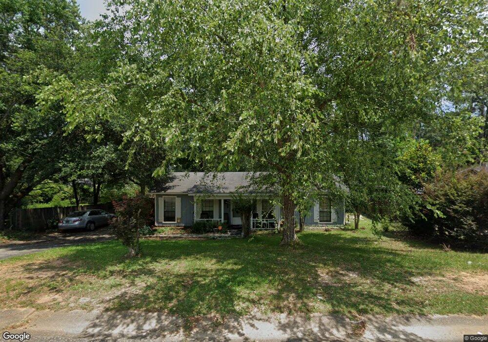
739 Dawes Service Rd Mobile, AL 36695
Kimberline NeighborhoodEstimated Value: $162,000 - $192,000
3
Beds
2
Baths
1,222
Sq Ft
$145/Sq Ft
Est. Value
About This Home
This home is located at 739 Dawes Service Rd, Mobile, AL 36695 and is currently estimated at $176,814, approximately $144 per square foot. 739 Dawes Service Rd is a home located in Mobile County with nearby schools including O'rourke Elementary School, Bernice J Causey Middle School, and Baker High School.
Ownership History
Date
Name
Owned For
Owner Type
Purchase Details
Closed on
Jan 29, 2009
Sold by
Knighton Robert H
Bought by
Johnson Doris J
Current Estimated Value
Purchase Details
Closed on
May 30, 2002
Sold by
Burch Mark Stewart and Burch Lori Marie
Bought by
Johnson Doris J and Knighton Robert H
Home Financials for this Owner
Home Financials are based on the most recent Mortgage that was taken out on this home.
Original Mortgage
$74,312
Interest Rate
6.92%
Mortgage Type
FHA
Create a Home Valuation Report for This Property
The Home Valuation Report is an in-depth analysis detailing your home's value as well as a comparison with similar homes in the area
Home Values in the Area
Average Home Value in this Area
Purchase History
| Date | Buyer | Sale Price | Title Company |
|---|---|---|---|
| Johnson Doris J | -- | None Available | |
| Johnson Doris J | $74,900 | Surety Land Title Inc |
Source: Public Records
Mortgage History
| Date | Status | Borrower | Loan Amount |
|---|---|---|---|
| Previous Owner | Johnson Doris J | $74,312 |
Source: Public Records
Tax History Compared to Growth
Tax History
| Year | Tax Paid | Tax Assessment Tax Assessment Total Assessment is a certain percentage of the fair market value that is determined by local assessors to be the total taxable value of land and additions on the property. | Land | Improvement |
|---|---|---|---|---|
| 2024 | $509 | $11,640 | $2,400 | $9,240 |
| 2023 | $509 | $10,630 | $2,400 | $8,230 |
| 2022 | $370 | $9,010 | $2,400 | $6,610 |
| 2021 | $341 | $8,420 | $2,400 | $6,020 |
| 2020 | $341 | $8,420 | $2,400 | $6,020 |
| 2019 | $337 | $8,320 | $0 | $0 |
| 2018 | $337 | $8,320 | $0 | $0 |
| 2017 | $338 | $8,360 | $0 | $0 |
| 2016 | $347 | $8,540 | $0 | $0 |
| 2013 | $369 | $8,760 | $0 | $0 |
Source: Public Records
Map
Nearby Homes
- 741 Abbey Way Unit 42
- 8051 Bonanza Dr
- 740 Abbey Way Unit 13
- 758 Abbey Way Unit 15
- 8285 Magnolia Village Dr N
- 1031 Navion Dr
- 8053 Stacey Rd Unit 36
- 1350 Schillinger Rd S
- 0 Manchester Place Unit 7528070
- 8621 Grelot Rd
- 8710 Londonderry Ct Unit 2
- 726 Willow Springs Dr
- 0 Oxbridge Way Unit 7471868
- 0 Oxbridge Way Unit 7471878
- 0 Oxbridge Way Unit 7 369320
- 0 Oxbridge Way Unit 6 369321
- 7354 Willow Pointe Dr N
- 8712 Fangorn Rd
- 0 Airport Blvd Unit 7368583
- 0 Airport Blvd Unit 7368582
- 751 Dawes Service Rd
- 751 Dawes Service Rd
- 701 Dawes Service Rd
- 750 Bonneville Dr
- 701 Dawes Service Rd
- 730 Bonneville Dr
- 761 Dawes Service Rd
- 771 Kimberlin Dr N
- 700 Bonneville Dr
- 770 Bonneville Dr
- 780 Bonneville Dr
- 781 Kimberlin Dr N
- 790 Kimberlin Dr N
- 770 Dawes Rd
- 790 Bonneville Dr
- 721 Bonneville Dr
- 801 Kimberlin Dr N
- 701 Bonneville Dr
- 771 Bonneville Dr
- 8120 Westminster Dr