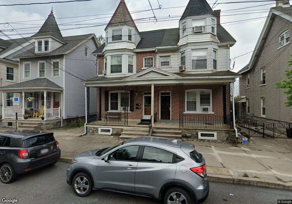
739 High St Bethlehem, PA 18018
Downtown Bethlehem NeighborhoodEstimated Value: $278,000 - $419,000
2
Beds
2
Baths
2,168
Sq Ft
$149/Sq Ft
Est. Value
About This Home
This home is located at 739 High St, Bethlehem, PA 18018 and is currently estimated at $323,547, approximately $149 per square foot. 739 High St is a home located in Northampton County with nearby schools including Thomas Jefferson Elementary School, Northeast Middle School, and Liberty High School.
Ownership History
Date
Name
Owned For
Owner Type
Purchase Details
Closed on
Jun 26, 2013
Sold by
Junod Catherine
Bought by
Frey Rosemary J and Freyi Erig E
Current Estimated Value
Home Financials for this Owner
Home Financials are based on the most recent Mortgage that was taken out on this home.
Original Mortgage
$64,500
Outstanding Balance
$47,934
Interest Rate
4.45%
Mortgage Type
New Conventional
Estimated Equity
$275,613
Purchase Details
Closed on
Jun 18, 2008
Sold by
Breiner Mary R
Bought by
Junod Catherine and Frey Rosemary J
Create a Home Valuation Report for This Property
The Home Valuation Report is an in-depth analysis detailing your home's value as well as a comparison with similar homes in the area
Home Values in the Area
Average Home Value in this Area
Purchase History
| Date | Buyer | Sale Price | Title Company |
|---|---|---|---|
| Frey Rosemary J | $56,500 | None Available | |
| Junod Catherine | -- | None Available |
Source: Public Records
Mortgage History
| Date | Status | Borrower | Loan Amount |
|---|---|---|---|
| Open | Frey Rosemary J | $64,500 |
Source: Public Records
Tax History
| Year | Tax Paid | Tax Assessment Tax Assessment Total Assessment is a certain percentage of the fair market value that is determined by local assessors to be the total taxable value of land and additions on the property. | Land | Improvement |
|---|---|---|---|---|
| 2025 | $461 | $42,700 | $14,300 | $28,400 |
| 2024 | $3,774 | $42,700 | $14,300 | $28,400 |
| 2023 | $3,774 | $42,700 | $14,300 | $28,400 |
| 2022 | $3,745 | $42,700 | $14,300 | $28,400 |
| 2021 | $3,720 | $42,700 | $14,300 | $28,400 |
| 2020 | $3,684 | $42,700 | $14,300 | $28,400 |
| 2019 | $3,672 | $42,700 | $14,300 | $28,400 |
| 2018 | $3,583 | $42,700 | $14,300 | $28,400 |
| 2017 | $3,540 | $42,700 | $14,300 | $28,400 |
| 2016 | -- | $42,700 | $14,300 | $28,400 |
| 2015 | -- | $42,700 | $14,300 | $28,400 |
| 2014 | -- | $42,700 | $14,300 | $28,400 |
Source: Public Records
Map
Nearby Homes
- 123 E Garrison St
- 744 Center St
- 212 E North St
- 913 High St
- 211 E Goepp St
- 48 E North St
- 829 N New St
- 38 W North St
- 65 W Union Blvd
- 1037 Maple St
- 253 E Church St
- 72 W Market St
- 313 E Church St
- 515 E Laurel St
- 1403 Madison Ave
- 45 W Greenwich St
- 229 W Fairview St
- 1409 Lorain Ave
- 1417 Lorain Ave
- 1507 High St
- 737 High St
- 741 High St Unit 2nd Unit
- 741 High St Unit 1st Floor
- 741 High St
- 743 High St
- 745 High St
- 136 E Union Blvd
- 731 High St
- 729 High St
- 137 E Garrison St
- 132 E Union Blvd
- 139 E Garrison St
- 727 High St
- 135 E Garrison St
- 133 E Garrison St
- 728 High St
- 728 High St Unit 2nd
- 130 E Union Blvd
- 801 High St
- 131 E Garrison St
Your Personal Tour Guide
Ask me questions while you tour the home.