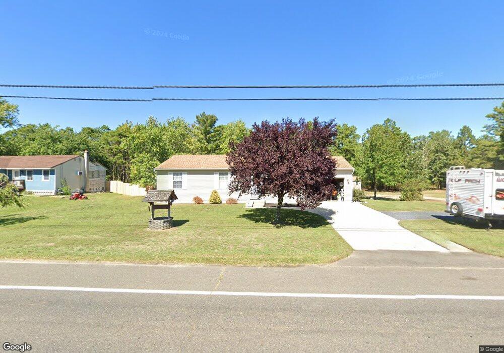
739 Lakehurst Rd Browns Mills, NJ 08015
Estimated Value: $192,000 - $321,592
--
Bed
--
Bath
1,334
Sq Ft
$198/Sq Ft
Est. Value
About This Home
This home is located at 739 Lakehurst Rd, Browns Mills, NJ 08015 and is currently estimated at $264,148, approximately $198 per square foot. 739 Lakehurst Rd is a home located in Burlington County.
Ownership History
Date
Name
Owned For
Owner Type
Purchase Details
Closed on
Mar 28, 2022
Sold by
Hopkins Robert E
Bought by
Luker Kathleen
Current Estimated Value
Home Financials for this Owner
Home Financials are based on the most recent Mortgage that was taken out on this home.
Original Mortgage
$200,000
Outstanding Balance
$187,054
Interest Rate
3.85%
Mortgage Type
New Conventional
Estimated Equity
$77,094
Purchase Details
Closed on
Feb 11, 2020
Sold by
Estate Of Patricia A Hopkins
Bought by
Hopkins Robert E
Purchase Details
Closed on
Apr 30, 1997
Sold by
Township Of Pemberton
Bought by
Hopkins Patricia A
Purchase Details
Closed on
Jun 7, 1994
Sold by
Whitesbogs Development Corp
Bought by
Hopkins Patricia A
Purchase Details
Closed on
Aug 4, 1992
Bought by
Hopkins Patricia A
Create a Home Valuation Report for This Property
The Home Valuation Report is an in-depth analysis detailing your home's value as well as a comparison with similar homes in the area
Home Values in the Area
Average Home Value in this Area
Purchase History
| Date | Buyer | Sale Price | Title Company |
|---|---|---|---|
| Luker Kathleen | $250,000 | Wfg National Title | |
| Hopkins Robert E | -- | None Available | |
| Hopkins Patricia A | $300 | -- | |
| Hopkins Patricia A | $300 | -- | |
| Hopkins Patricia A | $81,500 | Continental Title Insurance | |
| Whitesbogs Development Corp | -- | Continental Title Insurance | |
| Hopkins Patricia A | $8,000 | -- |
Source: Public Records
Mortgage History
| Date | Status | Borrower | Loan Amount |
|---|---|---|---|
| Open | Luker Kathleen | $200,000 |
Source: Public Records
Tax History Compared to Growth
Tax History
| Year | Tax Paid | Tax Assessment Tax Assessment Total Assessment is a certain percentage of the fair market value that is determined by local assessors to be the total taxable value of land and additions on the property. | Land | Improvement |
|---|---|---|---|---|
| 2025 | $5,036 | $164,300 | $40,500 | $123,800 |
| 2024 | $4,725 | $164,300 | $40,500 | $123,800 |
| 2023 | $4,725 | $164,300 | $40,500 | $123,800 |
| 2022 | $4,374 | $164,300 | $40,500 | $123,800 |
| 2021 | $4,195 | $164,300 | $40,500 | $123,800 |
| 2020 | $4,037 | $164,300 | $40,500 | $123,800 |
| 2019 | $3,866 | $164,300 | $40,500 | $123,800 |
| 2018 | $3,735 | $164,300 | $40,500 | $123,800 |
| 2017 | $3,657 | $164,300 | $40,500 | $123,800 |
| 2016 | $3,499 | $93,600 | $16,000 | $77,600 |
| 2015 | $3,471 | $93,600 | $16,000 | $77,600 |
| 2014 | $3,318 | $93,600 | $16,000 | $77,600 |
Source: Public Records
Map
Nearby Homes
- 764 Lakehurst Rd
- 406 Cherokee Dr
- 9 Winnebago Trail
- 13 Muskogean Trail
- 2 Kiowa Trail
- 22 Maricopa Trail
- 77 Sepulga Dr
- 1714 Red Feather Trail
- 203 Seneca Trail
- 224 Cherokee Dr
- 338 Ridge Rd
- 0 Margaret St
- 304 Mohawk Trail
- 300 Ridge Rd
- 304 Spring Lake Blvd
- 256 Ridge Rd
- 258 Ridge Rd
- 317 Cayuga Trail
- 306 Apache Trail
- 4101 N Lakeshore Dr
- 737 Lakehurst Rd
- 766 Lakehurst Rd
- 768 Lakehurst Rd
- 735 Lakehurst Rd
- 772 Lakehurst Rd
- 733 Lakehurst Rd
- 770 Lakehurst Rd
- 760 Lakehurst Rd
- 729 Lakehurst Rd
- 756 Lakehurst Rd Unit FRONT
- 756 Lakehurst Rd Unit BACK
- 756 Lakehurst Rd Unit A (REAR)
- 756 Lakehurst Rd
- 756a Lakehurst Rd
- 725 Lakehurst Rd
- 754 Lakehurst Rd
- 713 Lakehurst Rd
- 750 Lakehurst Rd
- 705 Lakehurst Rd
- 707 Lakehurst Rd