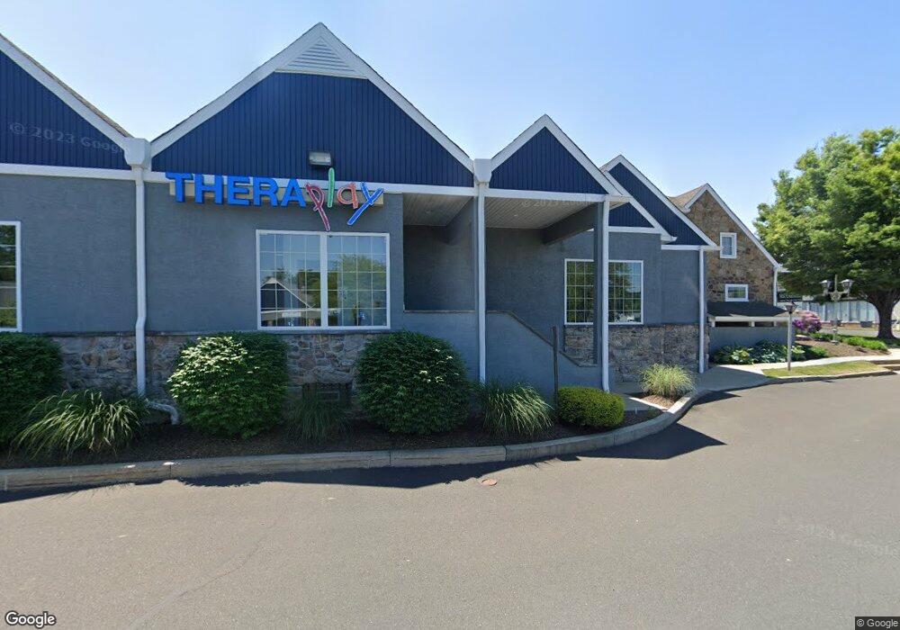
739 N Easton Rd Doylestown, PA 18902
Plumstead NeighborhoodEstimated Value: $6,866,566
--
Bed
--
Bath
--
Sq Ft
4.03
Acres
About This Home
This home is located at 739 N Easton Rd, Doylestown, PA 18902 and is currently estimated at $6,866,566. 739 N Easton Rd is a home located in Bucks County with nearby schools including Gayman Elementary School, Tohickon Middle School, and Central Bucks High School - East.
Ownership History
Date
Name
Owned For
Owner Type
Purchase Details
Closed on
Nov 8, 2019
Sold by
739 North Easton Lp
Bought by
303 305 W Main Street Llc
Current Estimated Value
Home Financials for this Owner
Home Financials are based on the most recent Mortgage that was taken out on this home.
Original Mortgage
$3,337,500
Outstanding Balance
$2,930,258
Interest Rate
3.5%
Mortgage Type
Commercial
Estimated Equity
$3,936,308
Purchase Details
Closed on
Oct 30, 2006
Sold by
Held Richard H
Bought by
739 North Easton Lp
Purchase Details
Closed on
Nov 26, 1984
Bought by
Held Richard H
Create a Home Valuation Report for This Property
The Home Valuation Report is an in-depth analysis detailing your home's value as well as a comparison with similar homes in the area
Home Values in the Area
Average Home Value in this Area
Purchase History
| Date | Buyer | Sale Price | Title Company |
|---|---|---|---|
| 303 305 W Main Street Llc | $4,450,000 | Liberty Bell Abstract | |
| 739 North Easton Lp | $6,875,000 | First American Title Ins Co- | |
| Held Richard H | $225,000 | -- |
Source: Public Records
Mortgage History
| Date | Status | Borrower | Loan Amount |
|---|---|---|---|
| Open | 303 305 W Main Street Llc | $3,337,500 |
Source: Public Records
Tax History Compared to Growth
Tax History
| Year | Tax Paid | Tax Assessment Tax Assessment Total Assessment is a certain percentage of the fair market value that is determined by local assessors to be the total taxable value of land and additions on the property. | Land | Improvement |
|---|---|---|---|---|
| 2025 | $52,653 | $303,040 | $70,120 | $232,920 |
| 2024 | $52,653 | $303,040 | $70,120 | $232,920 |
| 2023 | $50,980 | $303,040 | $70,120 | $232,920 |
| 2022 | $50,411 | $303,040 | $70,120 | $232,920 |
| 2021 | $49,847 | $303,040 | $70,120 | $232,920 |
| 2020 | $49,847 | $303,040 | $70,120 | $232,920 |
| 2019 | $49,544 | $303,040 | $70,120 | $232,920 |
| 2018 | $49,544 | $303,040 | $70,120 | $232,920 |
| 2017 | $48,862 | $303,040 | $70,120 | $232,920 |
| 2016 | $48,862 | $303,040 | $70,120 | $232,920 |
| 2015 | -- | $303,040 | $70,120 | $232,920 |
| 2014 | -- | $303,040 | $70,120 | $232,920 |
Source: Public Records
Map
Nearby Homes
- 114 Blackfriars Cir
- 100 Bishops Gate Ln Unit 67
- 194 Victoria Ct Unit 143
- 90 Chapman Ave
- 3867 Charter Club Dr
- 3765 William Daves Rd
- 3723 William Daves Rd
- 4748 Bishop Cir
- 3838 Jacob Stout Rd
- 143 Myers Dr
- 3711 Jacob Stout Rd Unit 5
- 0 Myers Dr
- 418 North St
- 104 Kreutz Ave
- 301 Windy Run Rd
- 5 Belmont Square
- 3923 Ferry Rd
- 121 Cottage St
- 146 N Church St
- 169 N Main St
- 812 N Easton Rd Unit 6
- 812 N Easton Rd Unit 7
- 826 N Easton Rd
- 800 N Easton Rd
- 3709 N Easton Rd
- 3864 Old Easton Rd
- 1 Old Easton Rd
- 3805 Old Easton Rd
- 800 Airport Blvd
- 3892 Old Easton Rd
- 1031 Old Easton Rd
- 3859 Old Easton Rd
- 4341 W Swamp Rd
- 1776 S Route 611
- 3853 Old Easton Rd
- 3853 Old Easton Rd
- 3861 Old Easton Rd
- 3687 Old Easton Rd
- 3679 Old Easton Rd
- 4259 W Swamp Rd