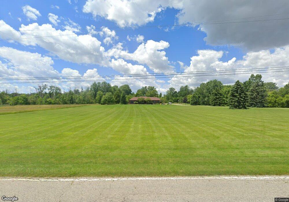
739 N Hintz Rd Owosso, MI 48867
Estimated Value: $338,000 - $438,522
4
Beds
3
Baths
1,915
Sq Ft
$199/Sq Ft
Est. Value
About This Home
This home is located at 739 N Hintz Rd, Owosso, MI 48867 and is currently estimated at $380,841, approximately $198 per square foot. 739 N Hintz Rd is a home located in Shiawassee County with nearby schools including Owosso High School, St. Paul Catholic School, and St. Joseph School.
Ownership History
Date
Name
Owned For
Owner Type
Purchase Details
Closed on
Jun 23, 2005
Sold by
Ihm Michael and Ihm Rhonda R
Bought by
Ihm Rhonda R
Current Estimated Value
Purchase Details
Closed on
Apr 15, 2005
Sold by
Smith Terrence H and Smith Mari Jo Z
Bought by
Ihm Michael and Ihm Rhonda R
Home Financials for this Owner
Home Financials are based on the most recent Mortgage that was taken out on this home.
Original Mortgage
$216,800
Outstanding Balance
$128,159
Interest Rate
8.1%
Mortgage Type
Fannie Mae Freddie Mac
Estimated Equity
$252,682
Create a Home Valuation Report for This Property
The Home Valuation Report is an in-depth analysis detailing your home's value as well as a comparison with similar homes in the area
Home Values in the Area
Average Home Value in this Area
Purchase History
| Date | Buyer | Sale Price | Title Company |
|---|---|---|---|
| Ihm Rhonda R | -- | -- | |
| Ihm Michael | $271,000 | First American Title |
Source: Public Records
Mortgage History
| Date | Status | Borrower | Loan Amount |
|---|---|---|---|
| Open | Ihm Michael | $216,800 |
Source: Public Records
Tax History Compared to Growth
Tax History
| Year | Tax Paid | Tax Assessment Tax Assessment Total Assessment is a certain percentage of the fair market value that is determined by local assessors to be the total taxable value of land and additions on the property. | Land | Improvement |
|---|---|---|---|---|
| 2025 | $3,345 | $208,300 | $0 | $0 |
| 2024 | $3,345 | $192,500 | $0 | $0 |
| 2023 | $1,340 | $169,000 | $0 | $0 |
| 2022 | $1,875 | $156,000 | $0 | $0 |
| 2021 | $2,971 | $143,700 | $0 | $0 |
| 2020 | $1,716 | $137,800 | $0 | $0 |
| 2019 | $0 | $113,800 | $0 | $0 |
| 2018 | $2,923 | $110,300 | $0 | $0 |
| 2016 | -- | $109,300 | $0 | $0 |
| 2015 | -- | $104,200 | $0 | $0 |
| 2014 | -- | $96,400 | $0 | $0 |
Source: Public Records
Map
Nearby Homes
- 1701 Copas Rd
- 1430 Mallard Cir
- Vacant Copas Rd
- 1473 Mallard Cir
- 813 Wiltshire Dr
- 809 Stevens Dr
- 1301 Whitehaven Ct
- V/L Short St
- 703 Queen St
- 415 Dimmick St
- 509 Abbott St
- 332 N Dewey St
- 921 Dingwall Dr
- 917 N Hickory St
- 418 E Oliver St
- 514 E Mason St
- 719 N Saginaw St
- 309 Goodhue St
- 412 N Hickory St
- 637 N Saginaw St
- 825 N Hintz Rd
- 649 N Hintz Rd
- 800 N Hintz Rd
- 0 N Hintz Rd
- VL N Hintz Rd
- 861 N Hintz Rd
- 1220 Holly Ct
- 917 N Hintz Rd
- 517 N Hintz Rd
- 1221 Holly Ct
- 1260 Holly Ct
- 1360 Jackson Dr
- 965 N Hintz Rd
- 1350 Jackson Dr
- 1261 Holly Ct
- 1370 Jackson Dr
- 1140 Bluestem Ct
- 1120 Bluestem Ct
- 1160 Bluestem Ct
- 1281 Holly Ct