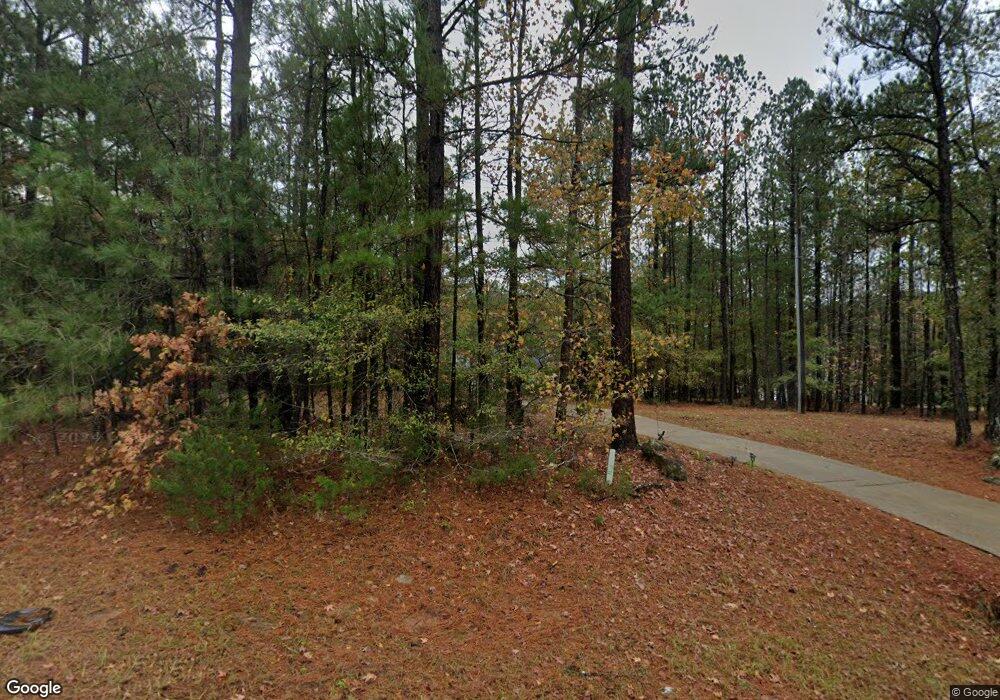
739 Thrash Rd Lagrange, GA 30241
Estimated Value: $396,584 - $501,000
5
Beds
2
Baths
2,428
Sq Ft
$180/Sq Ft
Est. Value
About This Home
This home is located at 739 Thrash Rd, Lagrange, GA 30241 and is currently estimated at $437,646, approximately $180 per square foot. 739 Thrash Rd is a home located in Troup County with nearby schools including Callaway Elementary School, Hogansville Elementary School, and Callaway Middle School.
Ownership History
Date
Name
Owned For
Owner Type
Purchase Details
Closed on
Jul 30, 2019
Sold by
Srodulski James David
Bought by
Hudgins Floyd Wayne and Hudgins Catherine Anne
Current Estimated Value
Purchase Details
Closed on
Jul 27, 2018
Sold by
Rodriguez Angel L
Bought by
Srodulski James David and Srodulski Cara Angela
Home Financials for this Owner
Home Financials are based on the most recent Mortgage that was taken out on this home.
Original Mortgage
$247,435
Interest Rate
4.37%
Mortgage Type
FHA
Purchase Details
Closed on
May 18, 2005
Sold by
Lewis C Davis Jr Inc
Bought by
Rodriguez Angel L and Rodriguez Iris L
Purchase Details
Closed on
Sep 8, 2003
Sold by
Jt Jones Dev
Bought by
Davis Lewis C Jr Inc
Purchase Details
Closed on
Jan 30, 2002
Sold by
Clarence Thrash
Bought by
Jt Jones Dev
Create a Home Valuation Report for This Property
The Home Valuation Report is an in-depth analysis detailing your home's value as well as a comparison with similar homes in the area
Home Values in the Area
Average Home Value in this Area
Purchase History
| Date | Buyer | Sale Price | Title Company |
|---|---|---|---|
| Hudgins Floyd Wayne | $261,500 | -- | |
| Srodulski James David | $252,000 | -- | |
| Rodriguez Angel L | $203,000 | -- | |
| Davis Lewis C Jr Inc | $35,000 | -- | |
| Jt Jones Dev | -- | -- |
Source: Public Records
Mortgage History
| Date | Status | Borrower | Loan Amount |
|---|---|---|---|
| Previous Owner | Srodulski James David | $247,435 |
Source: Public Records
Tax History Compared to Growth
Tax History
| Year | Tax Paid | Tax Assessment Tax Assessment Total Assessment is a certain percentage of the fair market value that is determined by local assessors to be the total taxable value of land and additions on the property. | Land | Improvement |
|---|---|---|---|---|
| 2024 | $2,955 | $110,320 | $12,000 | $98,320 |
| 2023 | $2,558 | $113,680 | $12,000 | $101,680 |
| 2022 | $2,993 | $109,240 | $12,000 | $97,240 |
| 2021 | $3,162 | $106,840 | $12,000 | $94,840 |
| 2020 | $3,095 | $106,840 | $12,000 | $94,840 |
| 2019 | $2,866 | $97,000 | $9,760 | $87,240 |
| 2018 | $2,627 | $89,080 | $9,760 | $79,320 |
| 2017 | $2,627 | $89,080 | $9,760 | $79,320 |
| 2016 | $2,571 | $87,228 | $9,780 | $77,448 |
| 2015 | $2,576 | $87,228 | $9,780 | $77,448 |
| 2014 | $2,456 | $83,152 | $9,780 | $73,372 |
| 2013 | -- | $79,500 | $9,780 | $69,720 |
Source: Public Records
Map
Nearby Homes
- 829 Thrash Rd
- 494 Thrash Rd
- 229 Big Springs Mountville Rd
- 4117 Greenville Rd
- 0 Fincher St
- 15 Frost School Rd
- 142 Carr Rd
- 49 Lagrange Hwy
- 4973 Greenville Rd
- 592 Mountville Hogansville Rd
- 1220 Lagrange Hwy
- 1701 Hines Rd
- 37.23 ACRES / 0 Smokey Rd
- 0 Alverson Rd
- 36+ ACRES Wadley St
- 91 Almond Rd
- 430 Briley Rd
- 783 Rosemont Rd
- 0 Branch Hebron Rd Unit 10624528
- 2477 Upper Big Springs Rd
- 755 Thrash Rd
- 813 Thrash Rd
- 725 Thrash Rd Unit 9
- 725 Thrash Rd
- 703 Thrash Rd
- 101 Old Farm Rd
- 683 Thrash Rd
- 847 Thrash Rd
- 102 Old Farm Rd
- 103 Old Farm Rd
- 665 Thrash Rd
- 853 Thrash Rd
- 102 Cedar Point Dr
- 865 Thrash Rd
- 621 Thrash Rd
- 102 Cedar Pointe Dr
- 0 Cedar Point
- 101 Cedar Point Dr
- 599 Thrash Rd
- 104 Old Farm Rd
