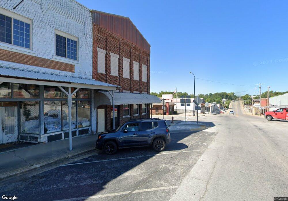
Estimated Value: $144,000
1
Bed
--
Bath
418
Sq Ft
$344/Sq Ft
Est. Value
About This Home
This home is located at 7390 County Rd T-537, Ava, MO 65608 and is currently estimated at $144,000, approximately $344 per square foot. 7390 County Rd T-537 is a home with nearby schools including Plainview Elementary School.
Ownership History
Date
Name
Owned For
Owner Type
Purchase Details
Closed on
Aug 28, 2023
Sold by
Cnc 101 Llc
Bought by
Reed Wyatt and Reed Lacey
Current Estimated Value
Purchase Details
Closed on
Sep 29, 2016
Sold by
Williams James Douglas and Williams Roberta
Bought by
Holt Patrick and Holt Brooke
Home Financials for this Owner
Home Financials are based on the most recent Mortgage that was taken out on this home.
Original Mortgage
$83,300
Interest Rate
3.43%
Mortgage Type
Future Advance Clause Open End Mortgage
Purchase Details
Closed on
Jan 12, 2005
Sold by
Williams James Douglas
Bought by
Williams James Douglas
Create a Home Valuation Report for This Property
The Home Valuation Report is an in-depth analysis detailing your home's value as well as a comparison with similar homes in the area
Purchase History
| Date | Buyer | Sale Price | Title Company |
|---|---|---|---|
| Reed Wyatt | -- | None Listed On Document | |
| Holt Patrick | -- | None Available | |
| Williams James Douglas | -- | None Available |
Source: Public Records
Mortgage History
| Date | Status | Borrower | Loan Amount |
|---|---|---|---|
| Previous Owner | Holt Patrick | $83,300 |
Source: Public Records
Tax History Compared to Growth
Tax History
| Year | Tax Paid | Tax Assessment Tax Assessment Total Assessment is a certain percentage of the fair market value that is determined by local assessors to be the total taxable value of land and additions on the property. | Land | Improvement |
|---|---|---|---|---|
| 2025 | $72 | $6,250 | $1,430 | $4,820 |
| 2024 | $1 | $2,070 | $1,900 | $170 |
| 2023 | $71 | $2,030 | $1,860 | $170 |
| 2022 | $69 | $2,020 | $1,860 | $160 |
| 2021 | $71 | $2,020 | $1,860 | $160 |
| 2020 | $71 | $2,010 | $1,860 | $150 |
| 2019 | $70 | $2,010 | $1,860 | $150 |
| 2018 | $74 | $2,110 | $1,960 | $150 |
| 2017 | $73 | $2,110 | $1,960 | $150 |
| 2016 | $80 | $2,090 | $1,960 | $130 |
| 2012 | -- | $2,010 | $0 | $0 |
Source: Public Records
Map
Nearby Homes
- 69 Hcr Box 67
- 000 County Road O-532 Unit 43
- 000 County Road O-532 Unit 9
- Rr7
- 6072 Co Rd #T-447
- 11138 State Highway O
- 56 Hc 69
- 11852 Co Rd Unit Ak-541
- 000 State Highway Dd
- 3176 State Highway Dd
- 299 Hwy T
- 444 Rural Route 3 Unit O-527
- 0 Rr 3
- 000 Merritt Rd
- 160 Lot Arden Ridge Hwy O
- Lot 4 Arden Ridge
- Lot 13 Arden Ridge
- Lot 10 Arden Ridge Hwy O
- Lot 14 Arden Ridge Hwy O
- Lot 17 Arden Ridge
- 0 T-537 Unit 60146521
- 0 T-537 Unit 60146519
- Tbd T537
- 0 T537 Unit 60035149
- 7237 County Rd T-537
- 000 Co Rd Unit T-537
- 537 T Hwy
- 7629 T-537
- 6807 State Highway T
- 7629 Co Rd T-532
- 6672 State Highway T
- 7629 County Road 537
- Tbd State Highway T
- 3177 State Highway T
- 4360 County Rd O-530
- 6067 State Highway T
- 4135 County Rd O-530
- 4247 County Road O-530
- 5010 County Rd O-530
- 6047 Rt T 7296
