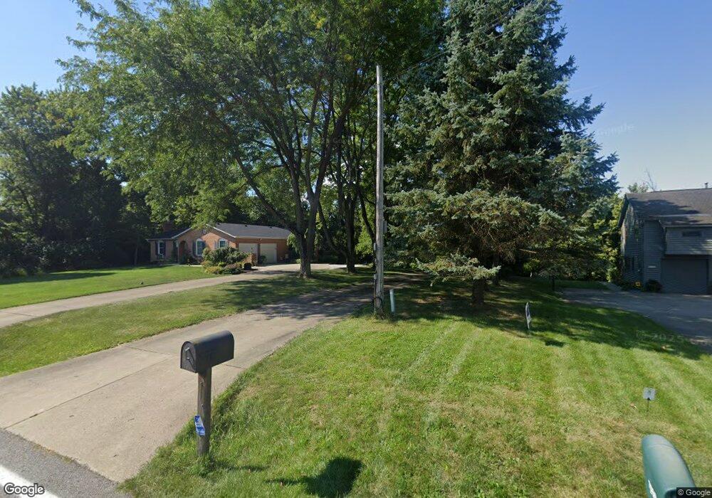
7393 Bridgetown Rd Cincinnati, OH 45248
Estimated Value: $433,000 - $491,000
3
Beds
3
Baths
2,846
Sq Ft
$161/Sq Ft
Est. Value
About This Home
This home is located at 7393 Bridgetown Rd, Cincinnati, OH 45248 and is currently estimated at $457,380, approximately $160 per square foot. 7393 Bridgetown Rd is a home located in Hamilton County with nearby schools including Charles T. Young Elementary School, Taylor Middle School, and Taylor High School.
Ownership History
Date
Name
Owned For
Owner Type
Purchase Details
Closed on
Jan 26, 2010
Sold by
Reinhardt Charles A and Reinhardt Pauline
Bought by
Reinhardt Charles A and Reinhardt Pauline
Current Estimated Value
Purchase Details
Closed on
Dec 10, 1993
Sold by
Wackenhut Thomas C and Wackenhut Mary Louise
Bought by
Reinhardt Charles A and Reinhardt Pauline
Create a Home Valuation Report for This Property
The Home Valuation Report is an in-depth analysis detailing your home's value as well as a comparison with similar homes in the area
Home Values in the Area
Average Home Value in this Area
Purchase History
| Date | Buyer | Sale Price | Title Company |
|---|---|---|---|
| Reinhardt Charles A | -- | Attorney | |
| Reinhardt Charles A | -- | -- |
Source: Public Records
Mortgage History
| Date | Status | Borrower | Loan Amount |
|---|---|---|---|
| Closed | Reinhardt Charles A | $0 |
Source: Public Records
Tax History Compared to Growth
Tax History
| Year | Tax Paid | Tax Assessment Tax Assessment Total Assessment is a certain percentage of the fair market value that is determined by local assessors to be the total taxable value of land and additions on the property. | Land | Improvement |
|---|---|---|---|---|
| 2024 | $5,126 | $119,536 | $21,403 | $98,133 |
| 2023 | $5,163 | $119,536 | $21,403 | $98,133 |
| 2022 | $4,481 | $83,651 | $18,491 | $65,160 |
| 2021 | $4,358 | $83,651 | $18,491 | $65,160 |
| 2020 | $4,403 | $83,651 | $18,491 | $65,160 |
| 2019 | $4,361 | $77,455 | $17,122 | $60,333 |
| 2018 | $4,193 | $77,455 | $17,122 | $60,333 |
| 2017 | $3,933 | $77,455 | $17,122 | $60,333 |
| 2016 | $4,095 | $82,446 | $17,808 | $64,638 |
| 2015 | $4,138 | $82,446 | $17,808 | $64,638 |
| 2014 | $4,183 | $82,446 | $17,808 | $64,638 |
| 2013 | $3,919 | $79,275 | $17,122 | $62,153 |
Source: Public Records
Map
Nearby Homes
- 7428 Bridgetown Rd
- A Foxtail Ln
- 3843 Foxtail Ln
- 3593 Sandal Ln
- 4343 Overton Ln
- 7957 Rio Grande Dr
- 6880 Rackview Rd
- 3943 Durango Green Dr
- 3601 Chadwell Springs Ct
- 4192 Valwood Dr
- 3633 Powner Rd
- B Dr
- 7208 Taylor Rd
- 4125 Sophias Way
- 7674 Briargreen Ln
- 6684 Powner Farm Dr
- 7433 Zion Hill Rd
- 6662 Taylor Rd
- 3813 Beacon Woods Dr
- 3300 Kuliga Park Dr
- 7387 Bridgetown Rd
- 7373 Bridgetown Rd
- 7363 Bridgetown Rd
- 7399 Bridgetown Rd
- 7353 Bridgetown Rd
- 3790 Deerpath Ln
- 3785 Deerpath Ln
- 7425 Bridgetown Rd
- 7400 Bridgetown Rd
- 7330 Bridgetown Rd
- 7419 Bridgetown Rd
- 7406 Bridgetown Rd
- 7431 Bridgetown Rd
- 3800 Deerpath Ln
- 3811 Foxtail Ln
- 7414 Bridgetown Rd
- 3817 Foxtail Ln
- 7441 Bridgetown Rd
- 3823 Foxtail Ln
- 7333 Bridgetown Rd