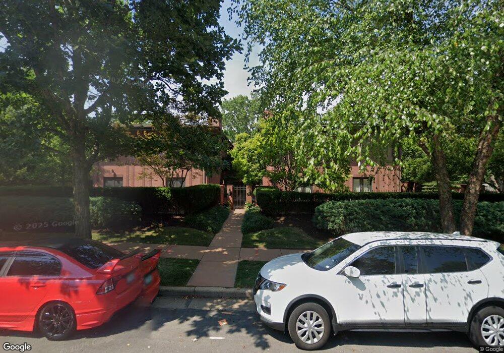
7393 Pershing Ave Unit B Saint Louis, MO 63130
Estimated Value: $859,000 - $965,000
3
Beds
3
Baths
2,628
Sq Ft
$344/Sq Ft
Est. Value
About This Home
This home is located at 7393 Pershing Ave Unit B, Saint Louis, MO 63130 and is currently estimated at $903,135, approximately $343 per square foot. 7393 Pershing Ave Unit B is a home located in St. Louis County with nearby schools including Flynn Park Elementary, Brittany Woods Middle School, and University City High School.
Ownership History
Date
Name
Owned For
Owner Type
Purchase Details
Closed on
Feb 10, 2006
Sold by
Trust Agreement Of Patricia D Whitaker
Bought by
Jost Real Estate Llc
Current Estimated Value
Purchase Details
Closed on
Feb 10, 2004
Sold by
Whitaker Patricia D
Bought by
Whitaker Patricia D
Purchase Details
Closed on
Oct 24, 2001
Sold by
Pershing Jackson Properties Llc
Bought by
Whitaker Patricia D
Create a Home Valuation Report for This Property
The Home Valuation Report is an in-depth analysis detailing your home's value as well as a comparison with similar homes in the area
Home Values in the Area
Average Home Value in this Area
Purchase History
| Date | Buyer | Sale Price | Title Company |
|---|---|---|---|
| Jost Real Estate Llc | $737,500 | Abstar Title Company | |
| Whitaker Patricia D | -- | -- | |
| Whitaker Patricia D | $651,918 | -- |
Source: Public Records
Tax History Compared to Growth
Tax History
| Year | Tax Paid | Tax Assessment Tax Assessment Total Assessment is a certain percentage of the fair market value that is determined by local assessors to be the total taxable value of land and additions on the property. | Land | Improvement |
|---|---|---|---|---|
| 2025 | $9,639 | $179,400 | $31,960 | $147,440 |
| 2024 | $9,639 | $137,300 | $26,470 | $110,830 |
| 2023 | $9,627 | $137,300 | $26,470 | $110,830 |
| 2022 | $9,495 | $126,260 | $42,450 | $83,810 |
| 2021 | $9,396 | $126,260 | $42,450 | $83,810 |
| 2020 | $10,244 | $134,300 | $38,460 | $95,840 |
| 2019 | $10,247 | $134,300 | $38,460 | $95,840 |
| 2018 | $10,846 | $131,500 | $23,960 | $107,540 |
| 2017 | $10,868 | $131,500 | $23,960 | $107,540 |
| 2016 | $9,537 | $110,390 | $17,970 | $92,420 |
| 2015 | $9,476 | $110,390 | $17,970 | $92,420 |
| 2014 | $10,537 | $120,710 | $39,620 | $81,090 |
Source: Public Records
Map
Nearby Homes
- 420 W Point Ct
- 7430 University Dr
- 7396 Bedford Ave
- 7452 Stratford Ave
- 7530 Maryland Ave
- 7459 Washington Ave
- 415 N Hanley Rd
- 7433 Teasdale Ave
- 7224 Pershing Ave
- 7498 Teasdale Ave
- 7320 Princeton Ave
- 7526 Washington Ave
- 7510 Teasdale Ave
- 224 N Bemiston Ave
- 146 N Bemiston Ave
- 155 Carondelet Plaza Unit 600
- 7484 Gannon Ave
- 515 N Bemiston Ave
- 150 Carondelet Plaza Unit 302
- 150 Carondelet Plaza Unit 2801
- 7395 Pershing Ave Unit B
- 7395 Pershing Ave Unit A
- 7393 Pershing Ave Unit A
- 7397 Pershing Ave Unit A
- 7399 Pershing Ave Unit B
- 7397 Pershing Ave Unit B
- 400 Purdue Avenue #2
- 400 Purdue Ave Unit 3
- 400 Purdue Ave Unit 2
- 400 Purdue Ave Unit 4
- 400 Purdue Ave Unit 1
- 400 Purdue Ave Unit 1N
- 7384 Kingsbury Blvd
- 7386 Kingsbury Blvd
- 7390 Kingsbury Blvd
- 7380 Kingsbury Blvd
- 7385 Pershing Ave Unit 1
- 7385 Pershing Ave Unit 2
- 7392 Kingsbury Blvd
- 7396 Kingsbury Blvd