Estimated Value: $65,018 - $128,000
2
Beds
1
Bath
1,023
Sq Ft
$92/Sq Ft
Est. Value
About This Home
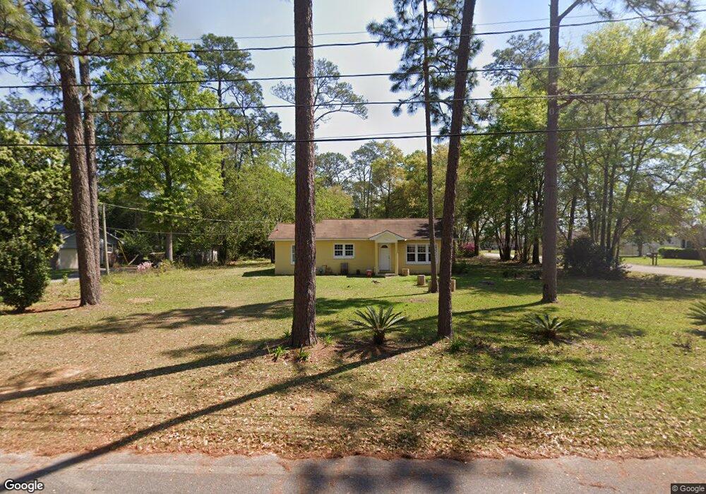
This home is located at 74 23rd St NE, Cairo, GA 39828 and is currently estimated at $94,005, approximately $91 per square foot. 74 23rd St NE is a home with nearby schools including Cairo High School.
Ownership History
Date
Name
Owned For
Owner Type
Purchase Details
Closed on
Jul 1, 2024
Sold by
Palafox David
Bought by
Palafox Properties Llc
Current Estimated Value
Purchase Details
Closed on
Dec 16, 2020
Sold by
Mitchell Jean C
Bought by
Palafox David
Home Financials for this Owner
Home Financials are based on the most recent Mortgage that was taken out on this home.
Original Mortgage
$42,078
Interest Rate
2.7%
Mortgage Type
New Conventional
Purchase Details
Closed on
Jul 8, 1971
Bought by
Mitchell Jean C
Create a Home Valuation Report for This Property
The Home Valuation Report is an in-depth analysis detailing your home's value as well as a comparison with similar homes in the area
Home Values in the Area
Average Home Value in this Area
Purchase History
| Date | Buyer | Sale Price | Title Company |
|---|---|---|---|
| Palafox Properties Llc | -- | -- | |
| Palafox David | $40,000 | -- | |
| Mitchell Jean C | -- | -- |
Source: Public Records
Mortgage History
| Date | Status | Borrower | Loan Amount |
|---|---|---|---|
| Previous Owner | Palafox David | $42,078 |
Source: Public Records
Tax History Compared to Growth
Tax History
| Year | Tax Paid | Tax Assessment Tax Assessment Total Assessment is a certain percentage of the fair market value that is determined by local assessors to be the total taxable value of land and additions on the property. | Land | Improvement |
|---|---|---|---|---|
| 2024 | $1,163 | $29,477 | $4,466 | $25,011 |
| 2023 | $879 | $23,760 | $4,800 | $18,960 |
| 2022 | $915 | $23,760 | $4,800 | $18,960 |
| 2021 | $917 | $23,760 | $4,800 | $18,960 |
| 2020 | $920 | $23,760 | $4,800 | $18,960 |
| 2019 | $920 | $23,760 | $4,800 | $18,960 |
| 2018 | $874 | $23,760 | $4,800 | $18,960 |
| 2017 | $841 | $23,760 | $4,800 | $18,960 |
| 2016 | $738 | $20,400 | $4,800 | $15,600 |
| 2015 | $731 | $20,400 | $4,800 | $15,600 |
| 2014 | -- | $20,400 | $4,800 | $15,600 |
| 2013 | -- | $19,312 | $4,800 | $14,512 |
Source: Public Records
Map
Nearby Homes
- 66 22nd St NE
- 21 24th St NE
- 2600 U S 84
- 78.6 Ac Strickland Rd
- 0 20th St NE
- 00 20th St NE
- 0 NE Airport Rd Unit 145784
- 00 NW 9th Ave
- 711 2nd Ave NE
- 225 Helton Ln
- 236 Helton Ln
- 3109 U S 84
- 3109 U S 84
- 530 6th Ave SE
- 530 6th St
- 471 4th St SE
- 481 4th St SE
- 00 State Route 188
- 0 State Route 188
- 602 4th St SE
- 76 23rd St NE
- 70 23rd St NE
- 71 23rd St NE
- 2306 Us Highway 84 E
- 75 24th St NE
- 2300 E 84 Hwy
- 2300 Us Highway 84 E
- 2210 U S 84
- 2210 Us Highway 84 E
- 2210 E 84 Hwy
- 64 23rd St NE
- 2215 Pineacre Dr NE
- 61 24th St NE
- 65 23rd St NE
- 60 23rd St NE
- 2444 Us Highway 84 E
- 2205 Pineacre Dr NE
- 64 24th St NE
- 2210 Pineacre Dr NE
- 2200 Us Highway 84 E