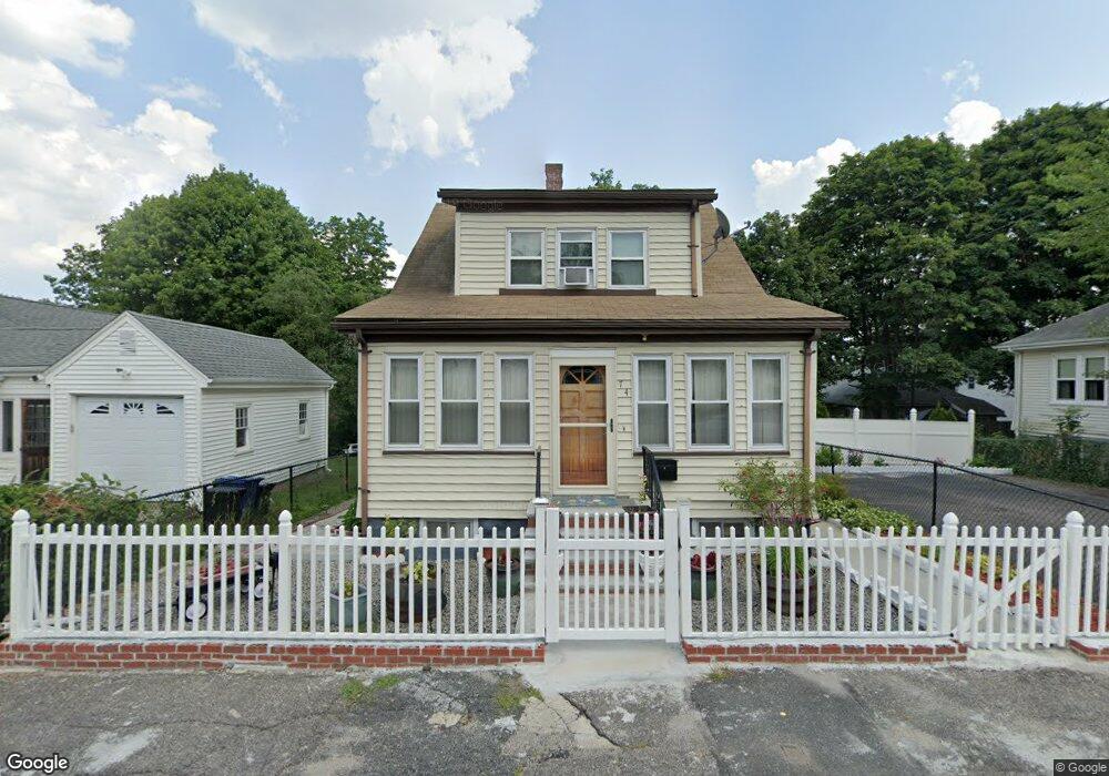
74 Annafran St Roslindale, MA 02131
Hyde Park NeighborhoodEstimated Value: $553,000 - $623,613
2
Beds
2
Baths
1,694
Sq Ft
$348/Sq Ft
Est. Value
About This Home
This home is located at 74 Annafran St, Roslindale, MA 02131 and is currently estimated at $589,653, approximately $348 per square foot. 74 Annafran St is a home located in Suffolk County with nearby schools including Brooke Charter School Roslindale, Boston Preparatory Charter Public School, and Sacred Heart STEM School.
Ownership History
Date
Name
Owned For
Owner Type
Purchase Details
Closed on
Jul 20, 2006
Sold by
Desire Luc
Bought by
Mcguffie Andree R
Current Estimated Value
Purchase Details
Closed on
Jan 16, 1998
Sold by
Taranto Glen R
Bought by
Desire Luc
Home Financials for this Owner
Home Financials are based on the most recent Mortgage that was taken out on this home.
Original Mortgage
$104,917
Interest Rate
7.08%
Mortgage Type
Purchase Money Mortgage
Create a Home Valuation Report for This Property
The Home Valuation Report is an in-depth analysis detailing your home's value as well as a comparison with similar homes in the area
Home Values in the Area
Average Home Value in this Area
Purchase History
| Date | Buyer | Sale Price | Title Company |
|---|---|---|---|
| Mcguffie Andree R | $360,000 | -- | |
| Desire Luc | $105,000 | -- |
Source: Public Records
Mortgage History
| Date | Status | Borrower | Loan Amount |
|---|---|---|---|
| Previous Owner | Desire Luc | $104,917 |
Source: Public Records
Tax History Compared to Growth
Tax History
| Year | Tax Paid | Tax Assessment Tax Assessment Total Assessment is a certain percentage of the fair market value that is determined by local assessors to be the total taxable value of land and additions on the property. | Land | Improvement |
|---|---|---|---|---|
| 2025 | $5,407 | $466,900 | $195,900 | $271,000 |
| 2024 | $4,861 | $446,000 | $197,900 | $248,100 |
| 2023 | $4,475 | $416,700 | $184,900 | $231,800 |
| 2022 | $4,200 | $386,000 | $171,300 | $214,700 |
| 2021 | $3,813 | $357,400 | $158,600 | $198,800 |
| 2020 | $3,407 | $322,600 | $153,100 | $169,500 |
| 2019 | $3,239 | $307,300 | $123,800 | $183,500 |
| 2018 | $3,067 | $292,700 | $123,800 | $168,900 |
| 2017 | $2,818 | $266,100 | $123,800 | $142,300 |
| 2016 | $2,870 | $260,900 | $123,800 | $137,100 |
| 2015 | $2,694 | $222,500 | $90,200 | $132,300 |
| 2014 | $2,613 | $207,700 | $90,200 | $117,500 |
Source: Public Records
Map
Nearby Homes
- 179 Hebron St
- 265 Hebron St
- 72 Livermore St
- 34 Ridlon Rd
- 0 Tina Ave
- 231 Itasca St
- 175 Clare Ave Unit B3
- 87 Clare Ave
- 839-843 Cummins Hwy
- 492 Metropolitan Ave
- 514 Metropolitan Ave Unit 514A
- 8 Mount Calvary Rd Unit 4
- 14-14R Kennebec St
- 100 Itasca St
- 895 Hyde Park Ave Unit 2
- 770 Cummins Hwy Unit 1
- 770 Cummins Hwy Unit 22
- 10 Brockton St
- 25 Pinedale Rd Unit 1
- 7 Winborough St
- 70 Annafran St
- 78 Annafran St
- 51 Wood Ave
- 51 Wood Ave Unit 1
- 51 Wood Ave Unit woodstock ave
- 51 Wood Ave
- 51 Wood Ave Unit 6
- 51 Wood Ave Unit 3
- 67 Annafran St
- 59 Wood Ave Unit woodstock ave 2
- 59 Wood Ave Unit woodstock ave 1
- 59 Wood Ave
- 84 Annafran St
- 60 Annafran St
- 75 Annafran St
- 43 Wood Ave
- 65 Wood Ave
- 79 Annafran St
- 41 Wood Ave Unit 47 2
- 41 Wood Ave Unit 4