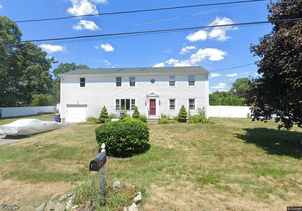
74 Back St Seekonk, MA 02771
Estimated Value: $534,000 - $756,000
5
Beds
4
Baths
2,304
Sq Ft
$284/Sq Ft
Est. Value
About This Home
This home is located at 74 Back St, Seekonk, MA 02771 and is currently estimated at $654,512, approximately $284 per square foot. 74 Back St is a home located in Bristol County with nearby schools including Seekonk High School, St Margaret School, and The Wolf School.
Ownership History
Date
Name
Owned For
Owner Type
Purchase Details
Closed on
Sep 8, 2020
Sold by
Martins Karen M and Sears Patricia A
Bought by
Martins Karen M
Current Estimated Value
Home Financials for this Owner
Home Financials are based on the most recent Mortgage that was taken out on this home.
Original Mortgage
$44,720
Outstanding Balance
$39,505
Interest Rate
2.9%
Mortgage Type
New Conventional
Estimated Equity
$615,007
Purchase Details
Closed on
Aug 14, 2018
Sold by
Sears Anthony
Bought by
Sears Ft and Sears
Create a Home Valuation Report for This Property
The Home Valuation Report is an in-depth analysis detailing your home's value as well as a comparison with similar homes in the area
Home Values in the Area
Average Home Value in this Area
Purchase History
| Date | Buyer | Sale Price | Title Company |
|---|---|---|---|
| Martins Karen M | -- | None Available | |
| Sears Ft | -- | -- |
Source: Public Records
Mortgage History
| Date | Status | Borrower | Loan Amount |
|---|---|---|---|
| Open | Martins Karen M | $44,720 |
Source: Public Records
Tax History
| Year | Tax Paid | Tax Assessment Tax Assessment Total Assessment is a certain percentage of the fair market value that is determined by local assessors to be the total taxable value of land and additions on the property. | Land | Improvement |
|---|---|---|---|---|
| 2025 | $6,100 | $493,900 | $146,800 | $347,100 |
| 2024 | $5,844 | $473,200 | $146,800 | $326,400 |
| 2023 | $5,610 | $427,900 | $131,500 | $296,400 |
| 2022 | $4,380 | $347,200 | $127,200 | $220,000 |
| 2021 | $4,380 | $322,800 | $107,300 | $215,500 |
| 2020 | $4,154 | $315,400 | $107,200 | $208,200 |
| 2019 | $4,068 | $311,500 | $107,200 | $204,300 |
| 2018 | $3,972 | $297,500 | $103,300 | $194,200 |
| 2017 | $3,953 | $293,700 | $103,300 | $190,400 |
| 2016 | $3,914 | $291,900 | $103,300 | $188,600 |
| 2015 | $3,830 | $289,500 | $103,300 | $186,200 |
Source: Public Records
Map
Nearby Homes
- 702 Arcade Ave
- 44 Hope St
- 267 Chestnut St
- 296 Fall River Ave
- 0 Milton St Unit 72633661
- 42 Taunton Ave
- 42 Tee Jay Dr
- 8 Agawam Ct
- 0 Pleasant St
- 23 Morra Way
- 9 Tammy Jean Dr
- 0 Arcade Ave Unit 73446971
- 75 Greenwood Ave
- 14 Field St
- 5 Luther Ave
- 0 Sagamore Rd
- 57 Mohawk Dr
- 54 Sagamore Rd
- 454 Fall River Ave
- 100 Bradley St
- 465 Taunton Ave
- 459 Taunton Ave
- 79 Back St
- 40 Chestnut St
- 489 Taunton Ave
- 479 Taunton Ave
- 63 Back St
- 40 Back St
- 39 Chestnut St
- 49 Back St
- 491 Taunton Ave
- 568 Arcade Ave
- 448 Taunton Ave
- 572 Arcade Ave
- 472 Taunton Ave
- 493 Taunton Ave
- 39 Back St
- 442 Taunton Ave Unit 3
- 442 Taunton Ave Unit Fl 2
- 442 Taunton Ave Unit 4
Your Personal Tour Guide
Ask me questions while you tour the home.