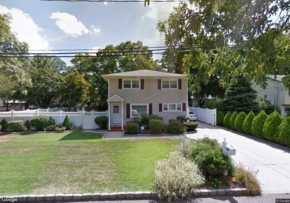
74 Barclay St West Babylon, NY 11704
Estimated Value: $533,314 - $704,000
--
Bed
--
Bath
2,442
Sq Ft
$258/Sq Ft
Est. Value
About This Home
This home is located at 74 Barclay St, West Babylon, NY 11704 and is currently estimated at $631,079, approximately $258 per square foot. 74 Barclay St is a home located in Suffolk County with nearby schools including Robert Moses Middle School and North Babylon High School.
Ownership History
Date
Name
Owned For
Owner Type
Purchase Details
Closed on
Aug 6, 2015
Sold by
Wilson Andrea and Wilson Barbara M
Bought by
Fletcher Lori Jean and Wilson Barbara M
Current Estimated Value
Purchase Details
Closed on
Feb 15, 2008
Purchase Details
Closed on
Nov 18, 2005
Purchase Details
Closed on
Sep 17, 1999
Sold by
Wilson Clarence E and Wilson Barbara M
Bought by
Wilson Clarence E and Wilson Barbara M
Home Financials for this Owner
Home Financials are based on the most recent Mortgage that was taken out on this home.
Original Mortgage
$100,000
Interest Rate
7.85%
Create a Home Valuation Report for This Property
The Home Valuation Report is an in-depth analysis detailing your home's value as well as a comparison with similar homes in the area
Home Values in the Area
Average Home Value in this Area
Purchase History
| Date | Buyer | Sale Price | Title Company |
|---|---|---|---|
| Fletcher Lori Jean | -- | None Available | |
| -- | -- | -- | |
| -- | -- | -- | |
| Wilson Clarence E | -- | Charter Land Title Agency |
Source: Public Records
Mortgage History
| Date | Status | Borrower | Loan Amount |
|---|---|---|---|
| Previous Owner | Wilson Clarence E | $100,000 |
Source: Public Records
Tax History Compared to Growth
Tax History
| Year | Tax Paid | Tax Assessment Tax Assessment Total Assessment is a certain percentage of the fair market value that is determined by local assessors to be the total taxable value of land and additions on the property. | Land | Improvement |
|---|---|---|---|---|
| 2024 | $5,408 | $3,290 | $230 | $3,060 |
| 2023 | $5,408 | $3,290 | $230 | $3,060 |
| 2022 | $2,697 | $3,290 | $230 | $3,060 |
| 2021 | $2,697 | $3,290 | $230 | $3,060 |
| 2020 | $2,877 | $3,290 | $230 | $3,060 |
| 2019 | $2,877 | $0 | $0 | $0 |
| 2018 | $2,707 | $3,290 | $230 | $3,060 |
| 2017 | $2,707 | $3,290 | $230 | $3,060 |
| 2016 | $2,687 | $3,290 | $230 | $3,060 |
| 2015 | -- | $3,290 | $230 | $3,060 |
| 2014 | -- | $3,290 | $230 | $3,060 |
Source: Public Records
Map
Nearby Homes
- 751 Centerwood St
- 270 Fulton St
- 340 Westchester Ave
- 583 Centerwood St
- 652 Empire Ave
- 57 Rockland Ave
- 82 Schenectady Ave
- 135 Westchester Ave
- 141 Davidson St
- 59 Nevada Rd
- 245 New Ave
- 81 Nevada Rd
- 56 Suffolk Ave
- 295 State Ave
- 155 Throop St
- 81 New Ave
- 1175 Little East Neck Rd
- 193 Parkway Blvd
- 185 Throop St
- 193 N Arizona Rd
- 70 Barclay St
- 725 Centerwood St
- 721 Centerwood St
- 84 Barclay St
- 75 Barclay St
- 73 Barclay St
- 737 Centerwood St
- 62 Barclay St
- 62 Barclay St
- 81 Barclay St
- 715 Centerwood St
- 90 Barclay St
- 722 Centerwood St
- 78 Sword St
- 745 Centerwood St
- 66 Sword St
- 724 Centerwood St
- 35 Lamont Place
- 82 Sword St
- 60 Barclay St