74 Broad St Norwalk, CT 06850
Broad River NeighborhoodEstimated Value: $1,376,265 - $1,695,000
5
Beds
5
Baths
4,461
Sq Ft
$331/Sq Ft
Est. Value
About This Home
This home is located at 74 Broad St, Norwalk, CT 06850 and is currently estimated at $1,478,066, approximately $331 per square foot. 74 Broad St is a home located in Fairfield County with nearby schools including Silvermine Elementary School, West Rocks Middle School, and Norwalk High School.
Ownership History
Date
Name
Owned For
Owner Type
Purchase Details
Closed on
Jun 26, 2014
Sold by
Deda Kole
Bought by
Deda Kole
Current Estimated Value
Home Financials for this Owner
Home Financials are based on the most recent Mortgage that was taken out on this home.
Original Mortgage
$150,000
Outstanding Balance
$114,384
Interest Rate
4.19%
Mortgage Type
New Conventional
Estimated Equity
$1,363,682
Purchase Details
Closed on
Jul 16, 2010
Sold by
Langley Bryan
Bought by
Deda Kole and Deda Sidita
Purchase Details
Closed on
Aug 22, 2008
Sold by
Petrucci David and Tarone-Petrucci Tali
Bought by
Langley Bryan
Create a Home Valuation Report for This Property
The Home Valuation Report is an in-depth analysis detailing your home's value as well as a comparison with similar homes in the area
Home Values in the Area
Average Home Value in this Area
Purchase History
| Date | Buyer | Sale Price | Title Company |
|---|---|---|---|
| Deda Kole | -- | -- | |
| Deda Kole | -- | -- | |
| Deda Kole | $860,000 | -- | |
| Deda Kole | $860,000 | -- | |
| Langley Bryan | $885,000 | -- | |
| Langley Bryan | $885,000 | -- |
Source: Public Records
Mortgage History
| Date | Status | Borrower | Loan Amount |
|---|---|---|---|
| Open | Langley Bryan | $150,000 | |
| Previous Owner | Langley Bryan | $150,000 |
Source: Public Records
Tax History Compared to Growth
Tax History
| Year | Tax Paid | Tax Assessment Tax Assessment Total Assessment is a certain percentage of the fair market value that is determined by local assessors to be the total taxable value of land and additions on the property. | Land | Improvement |
|---|---|---|---|---|
| 2025 | $19,233 | $803,180 | $230,000 | $573,180 |
| 2024 | $18,948 | $803,180 | $230,000 | $573,180 |
| 2023 | $16,258 | $646,150 | $181,130 | $465,020 |
| 2022 | $15,955 | $646,150 | $181,130 | $465,020 |
| 2021 | $15,540 | $646,150 | $181,130 | $465,020 |
| 2020 | $15,532 | $646,150 | $181,130 | $465,020 |
| 2019 | $15,097 | $646,150 | $181,130 | $465,020 |
| 2018 | $15,691 | $588,530 | $205,620 | $382,910 |
| 2017 | $15,152 | $588,530 | $205,620 | $382,910 |
| 2016 | $15,008 | $588,530 | $205,620 | $382,910 |
| 2015 | $15,754 | $619,500 | $205,620 | $413,880 |
| 2014 | $15,549 | $619,500 | $205,620 | $413,880 |
Source: Public Records
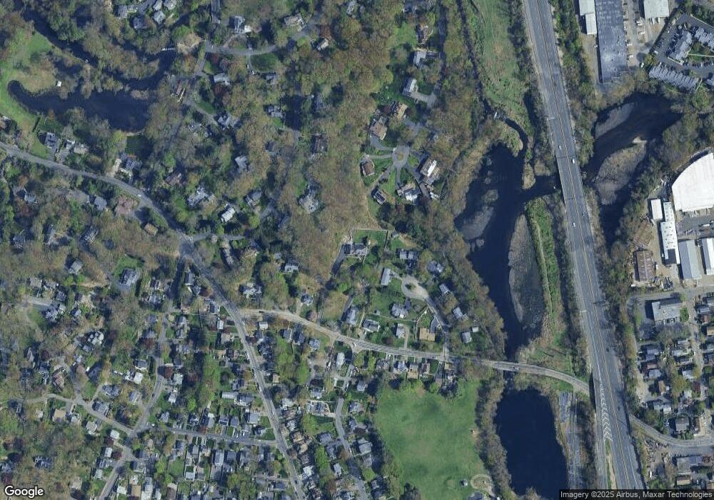
Map
Nearby Homes
- 34 Lakeview Dr
- 46 Silvermine Ave
- 14 Sniffen St
- 15 Perry Ave Unit 10A
- 13 Slocum St
- 8 Lloyd Rd
- 50 Aiken St Unit 312
- 50 Aiken St Unit 241
- 50 Aiken St Unit 305
- 50 Aiken St Unit 223
- 50 Aiken St Unit 225
- 50 Aiken St Unit 382
- 28 Aiken St
- 10 Parallel St
- 17 Linden St
- 7 Lycett Ct
- 71 Aiken St Unit J11
- 71 Aiken St Unit P12
- 5 Tower Dr
- 5 Maher Dr