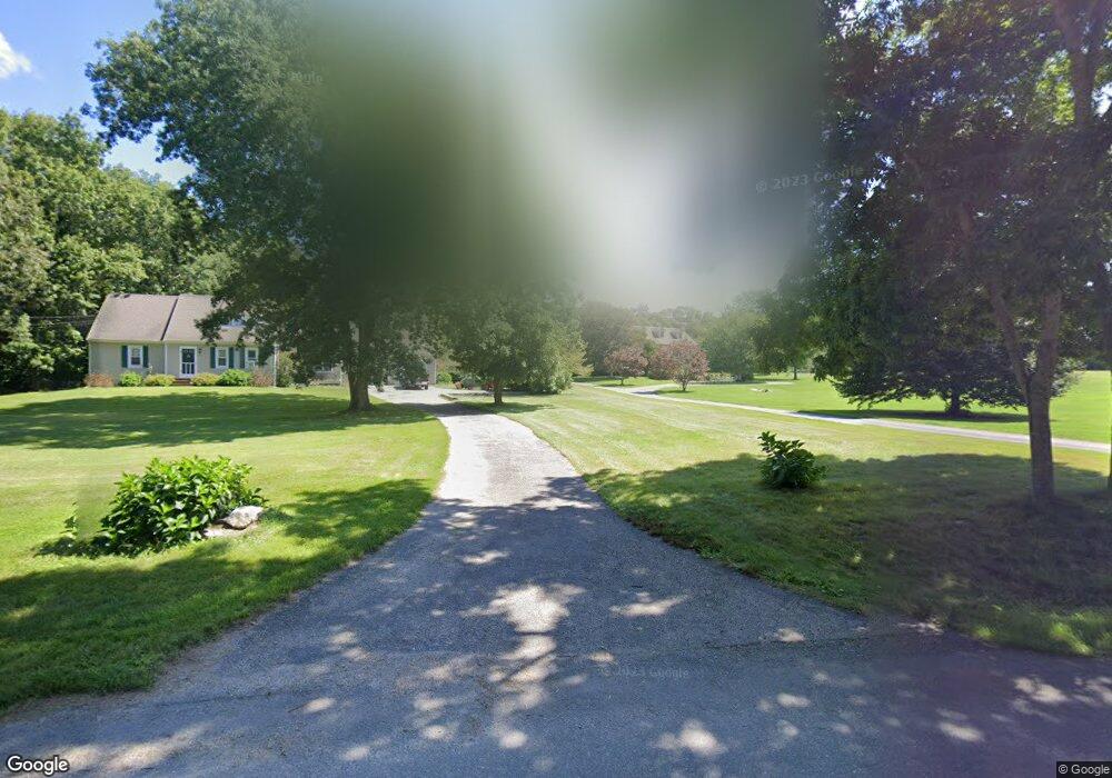
74 Burchard Ave Little Compton, RI 02837
Estimated Value: $806,000 - $2,678,000
Studio
--
Bath
--
Sq Ft
144,619
Sq Ft Lot
About This Home
This home is located at 74 Burchard Ave, Little Compton, RI 02837 and is currently estimated at $1,888,115. 74 Burchard Ave is a home located in Newport County with nearby schools including Wilbur & McMahon School.
Ownership History
Date
Name
Owned For
Owner Type
Purchase Details
Closed on
May 16, 2022
Sold by
Madden Steven W and Madden Kathryn M
Bought by
Steven W Madden T
Current Estimated Value
Purchase Details
Closed on
Mar 30, 1995
Sold by
Emilita David Js
Bought by
Madden Steven W
Create a Home Valuation Report for This Property
The Home Valuation Report is an in-depth analysis detailing your home's value as well as a comparison with similar homes in the area
Home Values in the Area
Average Home Value in this Area
Purchase History
| Date | Buyer | Sale Price | Title Company |
|---|---|---|---|
| Steven W Madden T | -- | None Available | |
| Madden Steven W | $105,000 | -- |
Source: Public Records
Mortgage History
| Date | Status | Borrower | Loan Amount |
|---|---|---|---|
| Previous Owner | Madden Steven W | $280,000 | |
| Previous Owner | Madden Steven W | $350,000 | |
| Previous Owner | Madden Steven W | $250,000 | |
| Previous Owner | Madden Steven W | $249,000 |
Source: Public Records
Tax History
| Year | Tax Paid | Tax Assessment Tax Assessment Total Assessment is a certain percentage of the fair market value that is determined by local assessors to be the total taxable value of land and additions on the property. | Land | Improvement |
|---|---|---|---|---|
| 2025 | $9,964 | $2,080,100 | $334,900 | $1,745,200 |
| 2024 | $9,223 | $1,815,600 | $273,000 | $1,542,600 |
| 2023 | $9,005 | $1,815,600 | $273,000 | $1,542,600 |
| 2022 | $8,896 | $1,815,600 | $273,000 | $1,542,600 |
| 2021 | $7,725 | $1,279,000 | $222,300 | $1,056,700 |
| 2020 | $7,367 | $1,229,800 | $222,300 | $1,007,500 |
| 2019 | $7,293 | $1,229,800 | $222,300 | $1,007,500 |
| 2018 | $6,190 | $1,038,600 | $240,100 | $798,500 |
| 2016 | $5,889 | $1,038,600 | $240,100 | $798,500 |
| 2015 | $6,338 | $1,102,300 | $244,600 | $857,700 |
| 2014 | $6,217 | $1,102,300 | $244,600 | $857,700 |
Source: Public Records
Map
Nearby Homes
- 141 Peckham Rd
- 140I Long Hwy
- 140 Long Hwy
- 0 Willow Ave
- 505 Long Hwy
- 116 Amy Hart Path
- 17 Amy Hart Path
- 502 Southlake Rd
- 90 Two Rod Rd
- 138 Willow Ave
- 180 W Main Rd
- 245 John Dyer Rd
- 127 Preservation Way
- 255 John Dyer Rd
- 155 W Main Rd
- 24 Peaceful Way
- 17 Ferolbink Way
- 184 Field Stone Ln
- 17 Quail Trail
- 25 Quail Trail
Your Personal Tour Guide
Ask me questions while you tour the home.