74 Burgess Point Rd Wareham, MA 02571
Estimated Value: $462,000 - $1,394,217
--
Bed
3
Baths
--
Sq Ft
1.57
Acres
About This Home
This home is located at 74 Burgess Point Rd, Wareham, MA 02571 and is currently estimated at $865,554. 74 Burgess Point Rd is a home located in Plymouth County.
Ownership History
Date
Name
Owned For
Owner Type
Purchase Details
Closed on
Dec 17, 2021
Sold by
Grandmont Marie G and Grandmont John J
Bought by
Burkly Ryan Rt and Vlaco
Current Estimated Value
Home Financials for this Owner
Home Financials are based on the most recent Mortgage that was taken out on this home.
Original Mortgage
$550,000
Outstanding Balance
$503,631
Interest Rate
3.09%
Mortgage Type
Commercial
Estimated Equity
$361,923
Create a Home Valuation Report for This Property
The Home Valuation Report is an in-depth analysis detailing your home's value as well as a comparison with similar homes in the area
Home Values in the Area
Average Home Value in this Area
Purchase History
| Date | Buyer | Sale Price | Title Company |
|---|---|---|---|
| Burkly Ryan Rt | $1,100,000 | None Available | |
| Burkly Ryan Rt | $1,100,000 | None Available |
Source: Public Records
Mortgage History
| Date | Status | Borrower | Loan Amount |
|---|---|---|---|
| Open | Burkly Ryan Rt | $550,000 | |
| Closed | Burkly Ryan Rt | $550,000 |
Source: Public Records
Tax History Compared to Growth
Tax History
| Year | Tax Paid | Tax Assessment Tax Assessment Total Assessment is a certain percentage of the fair market value that is determined by local assessors to be the total taxable value of land and additions on the property. | Land | Improvement |
|---|---|---|---|---|
| 2025 | $12,677 | $1,216,600 | $1,216,600 | $0 |
| 2024 | $10,291 | $916,400 | $916,400 | $0 |
| 2023 | $9,967 | $832,400 | $832,400 | $0 |
| 2022 | $9,967 | $756,200 | $756,200 | $0 |
| 2021 | $10,171 | $756,200 | $756,200 | $0 |
| 2020 | $10,044 | $757,500 | $757,500 | $0 |
| 2019 | $13,351 | $1,004,600 | $1,004,600 | $0 |
| 2018 | $13,693 | $1,004,600 | $1,004,600 | $0 |
| 2017 | $13,512 | $1,004,600 | $1,004,600 | $0 |
| 2016 | $14,270 | $1,054,700 | $1,054,700 | $0 |
| 2015 | $14,834 | $1,135,000 | $1,135,000 | $0 |
| 2014 | $11,740 | $913,600 | $913,600 | $0 |
Source: Public Records
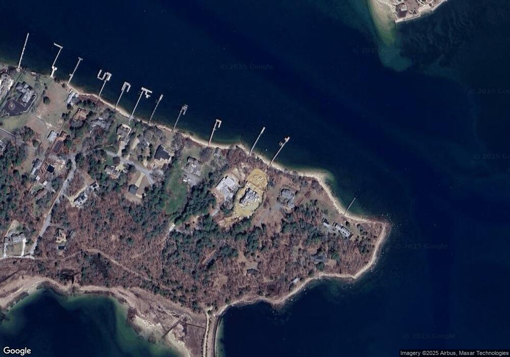
Map
Nearby Homes
- 46 Winship Ave
- 200 Great Neck Rd
- 17 Carleton St Unit 17
- 12 Grove St
- 45 Kins Ct
- 46 Kins Ct
- 38 Amos Way
- 35 Locust St
- 35 Locust St
- 52 Starboard Dr Unit 36H
- 6 Beacon St Unit 79
- 0 Broad St Off Unit 72362523
- 6 Unit 74
- 14 Over Jordan Rd
- 8 Over Jordan Rd
- 10 Beacon St Unit 83
- 9 10th St
- 12 Beacon St Unit 84
- 26 Highland Ave
- 8 Beacon St Unit 80
- 73 Burgess Point Rd
- 72 Burgess Point Rd
- 16 Widows Cove Ln
- 14 Widows Cove Ln
- 9 Widows Cove Ln
- 12 Widow's Cove Ln
- 12 Widows Cove Ln
- 10 Widows Cove Ln
- 5 Widows Cove Ln
- 4 Widow's Cove Ln
- 14 Ocean Ave
- 8 Widows Cove Ln
- 13 Widows Cove Ln
- 1 Old Colony Ave
- 1 Widows Cove Ln
- 19 Ocean Ave
- 54 Winship Ave
- 2 Monument Ave
- 4 Old Colony Ave
- 56 Monument Ave