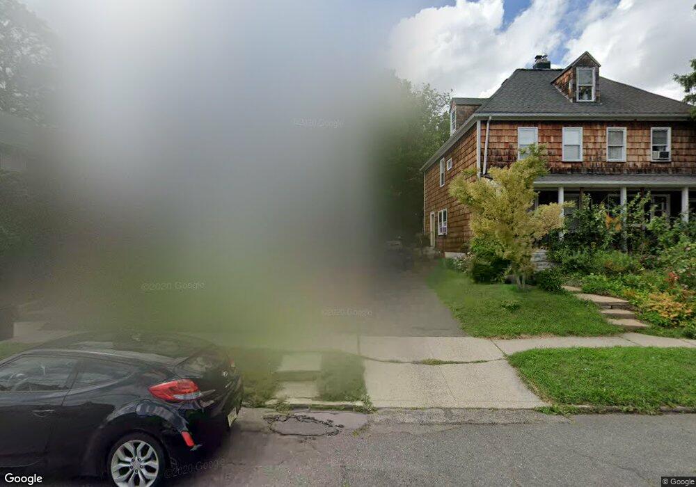
74 Burnside Ave Unit 76 Cranford, NJ 07016
Estimated Value: $723,544 - $895,000
4
Beds
2
Baths
1,550
Sq Ft
$504/Sq Ft
Est. Value
About This Home
This home is located at 74 Burnside Ave Unit 76, Cranford, NJ 07016 and is currently estimated at $781,636, approximately $504 per square foot. 74 Burnside Ave Unit 76 is a home located in Union County with nearby schools including Cranford Sr High School, St Michael School, and Lightbridge Academy of Westfield.
Ownership History
Date
Name
Owned For
Owner Type
Purchase Details
Closed on
Sep 4, 2021
Sold by
Fernandez Sortya
Bought by
John Nisart
Current Estimated Value
Purchase Details
Closed on
Nov 1, 2016
Sold by
Barbieri Robert
Bought by
Misarti John and Fernandez Soraya
Home Financials for this Owner
Home Financials are based on the most recent Mortgage that was taken out on this home.
Original Mortgage
$441,844
Interest Rate
3.52%
Mortgage Type
FHA
Purchase Details
Closed on
May 23, 2008
Sold by
Willard Joyce and Flanagan Joyce
Bought by
Flanagan Joyce
Home Financials for this Owner
Home Financials are based on the most recent Mortgage that was taken out on this home.
Original Mortgage
$544,185
Interest Rate
3.82%
Mortgage Type
Reverse Mortgage Home Equity Conversion Mortgage
Create a Home Valuation Report for This Property
The Home Valuation Report is an in-depth analysis detailing your home's value as well as a comparison with similar homes in the area
Home Values in the Area
Average Home Value in this Area
Purchase History
| Date | Buyer | Sale Price | Title Company |
|---|---|---|---|
| John Nisart | -- | Madison Title | |
| Misarti John | $457,100 | None Available | |
| Flanagan Joyce | -- | New Jersey Title Ins Co |
Source: Public Records
Mortgage History
| Date | Status | Borrower | Loan Amount |
|---|---|---|---|
| Previous Owner | Misarti John | $441,844 | |
| Previous Owner | Flanagan Joyce | $544,185 |
Source: Public Records
Tax History
| Year | Tax Paid | Tax Assessment Tax Assessment Total Assessment is a certain percentage of the fair market value that is determined by local assessors to be the total taxable value of land and additions on the property. | Land | Improvement |
|---|---|---|---|---|
| 2025 | $11,280 | $166,400 | $73,700 | $92,700 |
| 2024 | $11,094 | $166,400 | $73,700 | $92,700 |
| 2023 | $11,094 | $166,400 | $73,700 | $92,700 |
| 2022 | $11,002 | $166,400 | $73,700 | $92,700 |
| 2021 | $10,954 | $166,400 | $73,700 | $92,700 |
| 2020 | $10,919 | $166,400 | $73,700 | $92,700 |
| 2019 | $10,849 | $166,400 | $73,700 | $92,700 |
| 2018 | $10,653 | $166,400 | $73,700 | $92,700 |
| 2017 | $10,287 | $166,400 | $73,700 | $92,700 |
| 2016 | $9,912 | $166,400 | $73,700 | $92,700 |
| 2015 | $9,653 | $166,400 | $73,700 | $92,700 |
| 2014 | -- | $166,400 | $73,700 | $92,700 |
Source: Public Records
Map
Nearby Homes
- 116 Willow Ave
- 23 Lincoln Ave W
- 2 Roger Ave
- 221 North Ave W
- 265 Hickory Ave
- 13 Roger Ave
- 301 Denman Rd
- 443 Pine Ave
- 312 3rd Ave
- 290 Sycamore St
- 401 Brookside Place
- 484 4th Ave Unit 9
- 556 Locust Ave
- 506 Lincoln Park E Unit 506
- 21 Spruce St
- 564 Spruce Ave
- 684 Gallows Hill Rd
- 1921 Grandview Ave
- 125 Pearl St
- 615 Maple Ct Unit 615
- 74 Burnside Ave Unit 2
- 74-76 Burnside Ave Unit 2
- 78 Burnside Ave
- 70 Burnside Ave Unit 72
- 82 Burnside Ave
- 68 Burnside Ave
- 66 Burnside Ave
- 84 Burnside Ave
- 64 Burnside Ave
- 71 Burnside Ave
- 71 Burnside Ave Unit C
- 71 Burnside Ave Unit B
- 71 Burnside Ave Unit D
- 75 Burnside Ave
- 69 Burnside Ave
- 110 New St
- 77 Burnside Ave
- 83 Johnson Ave
- 73 Burnside Ave
- 73 Burnside Ave Unit 1
Your Personal Tour Guide
Ask me questions while you tour the home.