74 Burnt Pine Dr Naples, FL 34119
Arrowhead-Island Walk NeighborhoodEstimated Value: $501,214 - $628,000
3
Beds
3
Baths
2,449
Sq Ft
$239/Sq Ft
Est. Value
About This Home
This home is located at 74 Burnt Pine Dr, Naples, FL 34119 and is currently estimated at $586,054, approximately $239 per square foot. 74 Burnt Pine Dr is a home located in Collier County with nearby schools including Laurel Oak Elementary School, Oakridge Middle School, and Gulf Coast High School.
Ownership History
Date
Name
Owned For
Owner Type
Purchase Details
Closed on
May 23, 2006
Sold by
Stedman David and Stedman Carol
Bought by
Stedman David
Current Estimated Value
Purchase Details
Closed on
Apr 25, 2003
Sold by
Lovett Kenneth B
Bought by
Stedman David and Stedman Carol
Home Financials for this Owner
Home Financials are based on the most recent Mortgage that was taken out on this home.
Original Mortgage
$229,900
Outstanding Balance
$99,561
Interest Rate
5.86%
Mortgage Type
Purchase Money Mortgage
Estimated Equity
$486,493
Purchase Details
Closed on
Jul 13, 2000
Sold by
Beazer Homes Corp
Bought by
Lovett Kenenth B and Lovett Elizabeth A
Home Financials for this Owner
Home Financials are based on the most recent Mortgage that was taken out on this home.
Original Mortgage
$170,000
Interest Rate
8.3%
Create a Home Valuation Report for This Property
The Home Valuation Report is an in-depth analysis detailing your home's value as well as a comparison with similar homes in the area
Home Values in the Area
Average Home Value in this Area
Purchase History
| Date | Buyer | Sale Price | Title Company |
|---|---|---|---|
| Stedman David | -- | Attorney | |
| Stedman David | $242,000 | -- | |
| Lovett Kenenth B | $179,700 | -- |
Source: Public Records
Mortgage History
| Date | Status | Borrower | Loan Amount |
|---|---|---|---|
| Open | Stedman David | $229,900 | |
| Previous Owner | Lovett Kenenth B | $170,000 |
Source: Public Records
Tax History
| Year | Tax Paid | Tax Assessment Tax Assessment Total Assessment is a certain percentage of the fair market value that is determined by local assessors to be the total taxable value of land and additions on the property. | Land | Improvement |
|---|---|---|---|---|
| 2025 | $3,982 | $387,556 | $147,233 | $240,323 |
| 2024 | $3,999 | $357,132 | -- | -- |
| 2023 | $3,999 | $324,665 | $0 | $0 |
| 2022 | $3,960 | $295,150 | $0 | $0 |
| 2021 | $3,290 | $268,318 | $43,129 | $225,189 |
| 2020 | $1,983 | $194,607 | $0 | $0 |
| 2019 | $1,942 | $190,232 | $0 | $0 |
| 2018 | $1,894 | $186,685 | $0 | $0 |
| 2017 | $1,858 | $182,845 | $0 | $0 |
| 2016 | $1,806 | $179,084 | $0 | $0 |
| 2015 | $1,818 | $177,839 | $0 | $0 |
| 2014 | $1,814 | $126,428 | $0 | $0 |
Source: Public Records
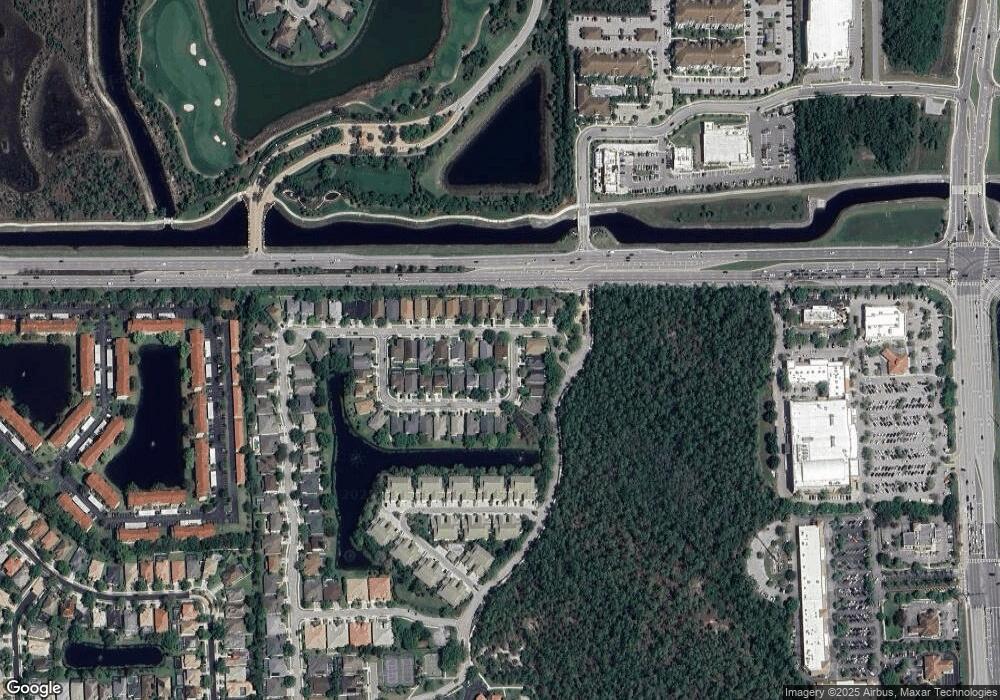
Map
Nearby Homes
- 88 Burnt Pine Dr
- 69 Burnt Pine Dr
- 8413 Hollow Brook Cir
- 8390 Big Acorn Cir Unit 11C
- 8310 Big Acorn Cir Unit 1002
- 109 Burnt Pine Dr
- 8315 Big Acorn Cir Unit 902
- 8264 Key Royal Cir Unit 812
- 8298 Key Royal Ln Unit 413
- 8300 Laurel Lakes Blvd
- 8288 Key Royal Ln Unit 1424
- 8284 Key Royal Cir Unit 1324
- 8260 Laurel Lakes Blvd
- 285 Spider Lily Ln
- 8302 Laurel Lakes Way
- 8667 Amour Ct
- 8271 Laurel Lakes Way
- 320 Spider Lily Ln
- 8524 Laurel Lakes Blvd
- 8493 Laurel Lakes Blvd
- 76 Burnt Pine Dr
- 78 Burnt Pine Dr
- 8458 Hollow Brook Cir
- 8483 Hollow Brook Cir
- 8479 Hollow Brook Cir
- 8475 Hollow Brook Cir
- 75 Burnt Pine Dr
- 73 Burnt Pine Dr
- 8450 Hollow Brook Cir
- 80 Burnt Pine Dr
- 77 Burnt Pine Dr
- 71 Burnt Pine Dr
- 8471 Hollow Brook Cir
- 79 Burnt Pine Dr
- 8446 Hollow Brook Cir
- 82 Burnt Pine Dr
- 81 Burnt Pine Dr
- 8467 Hollow Brook Cir
- 67 Burnt Pine Dr
- 8442 Hollow Brook Cir
Your Personal Tour Guide
Ask me questions while you tour the home.