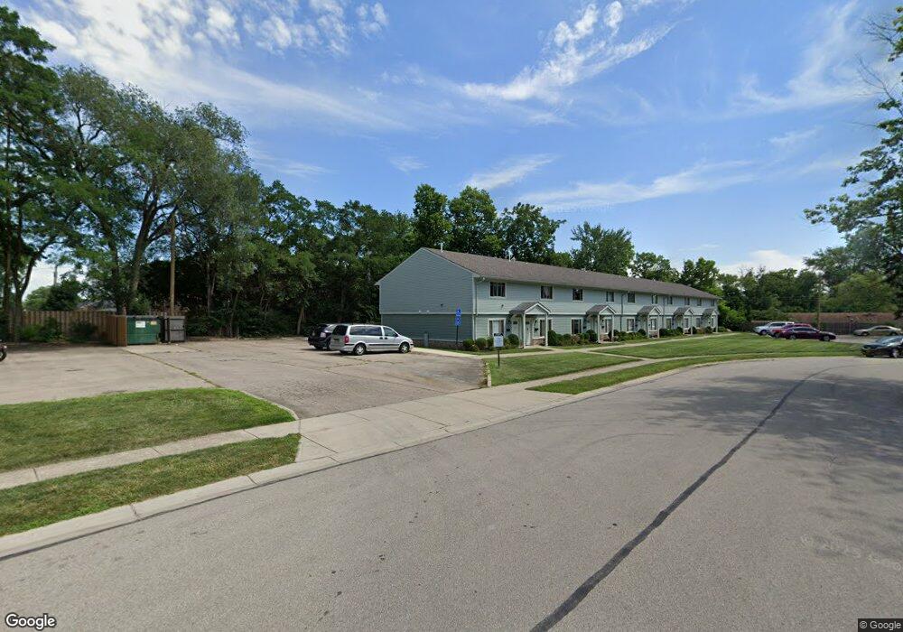
74 Cranston Ct Unit 15 Dayton, OH 45458
Estimated Value: $160,000 - $187,000
3
Beds
2
Baths
1,200
Sq Ft
$145/Sq Ft
Est. Value
About This Home
This home is located at 74 Cranston Ct Unit 15, Dayton, OH 45458 and is currently estimated at $173,891, approximately $144 per square foot. 74 Cranston Ct Unit 15 is a home located in Montgomery County with nearby schools including Primary Village South, Cline Elementary, and Magsig Middle School.
Ownership History
Date
Name
Owned For
Owner Type
Purchase Details
Closed on
Aug 2, 2002
Sold by
Frank and Karin
Bought by
Moravek William D K and Moravek Vernette J A
Current Estimated Value
Purchase Details
Closed on
May 30, 1997
Sold by
Vanadia Ronald and Vanadia Lucille
Bought by
Frank Jobst and Frank Karin
Purchase Details
Closed on
Jun 8, 1996
Sold by
Mcdermid Gary R
Bought by
Vanadia Ronald and Vanadia Lucille
Create a Home Valuation Report for This Property
The Home Valuation Report is an in-depth analysis detailing your home's value as well as a comparison with similar homes in the area
Home Values in the Area
Average Home Value in this Area
Purchase History
| Date | Buyer | Sale Price | Title Company |
|---|---|---|---|
| Moravek William D K | $78,000 | -- | |
| Frank Jobst | $73,000 | Lawyers Title Insurance Corp | |
| Vanadia Ronald | $72,900 | -- |
Source: Public Records
Tax History Compared to Growth
Tax History
| Year | Tax Paid | Tax Assessment Tax Assessment Total Assessment is a certain percentage of the fair market value that is determined by local assessors to be the total taxable value of land and additions on the property. | Land | Improvement |
|---|---|---|---|---|
| 2024 | $2,612 | $44,780 | $9,640 | $35,140 |
| 2023 | $2,612 | $44,780 | $9,640 | $35,140 |
| 2022 | $2,156 | $29,270 | $6,300 | $22,970 |
| 2021 | $2,162 | $29,270 | $6,300 | $22,970 |
| 2020 | $2,159 | $29,270 | $6,300 | $22,970 |
| 2019 | $1,854 | $22,390 | $6,300 | $16,090 |
| 2018 | $1,645 | $22,390 | $6,300 | $16,090 |
| 2017 | $1,626 | $22,390 | $6,300 | $16,090 |
| 2016 | $1,903 | $24,790 | $6,300 | $18,490 |
| 2015 | $1,884 | $24,790 | $6,300 | $18,490 |
| 2014 | $1,884 | $24,790 | $6,300 | $18,490 |
| 2012 | -- | $25,930 | $6,300 | $19,630 |
Source: Public Records
Map
Nearby Homes
- 170 S Main St Unit C
- 61 Lynn Rae Cir
- 20 Gershwin Dr
- 92 E Ridgeway Dr
- 155 Bristol Dr
- 40 Cemetery Dr
- 306 Monarch Rd
- 325 Annette Dr
- 284 Tauber Dr
- 156 Mallard Glen Dr Unit 4
- 296 Tauber Dr
- 140 Mallard Glen Dr Unit 3
- 121 Woodfield Place
- 352 Sentinel Oak Dr
- 7687 Normandy Ln
- 311 E Franklin St
- 7767 Brams Hill Dr Unit 7767
- 129 Bradstreet Rd
- 694 Spring Ridge Place
- 435 Clareridge Ln
- 72 Cranston Ct Unit 14
- 75 Cranston Ct Unit 31
- 77 Cranston Ct Unit 32
- 71 Cranston Ct Unit 29
- 76 Cranston Ct Unit 16
- 73 Cranston Ct Unit 30
- 70 Cranston Ct Unit 13
- 70 Cranston Ct
- 63 Cranston Ct Unit 26
- 65 Cranston Ct Unit 27
- 67 Cranston Ct Unit 28
- 66 Cranston Ct Unit 12
- 64 Cranston Ct Unit 11
- 50 Westerfield Dr
- 62 Cranston Ct Unit 10
- 35 Westerly Ln Unit 335
- 60 Cranston Ct Unit 9
- 61 Cranston Ct Unit 25
- 33 Westerly Ln Unit 333
- 61 Winchester Place Unit 60