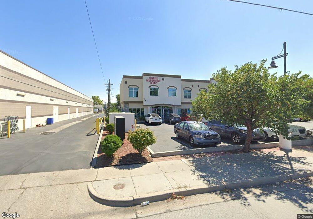
74 E 2700 S South Salt Lake, UT 84115
--
Bed
--
Bath
1,050
Sq Ft
436
Sq Ft Lot
About This Home
This home is located at 74 E 2700 S, South Salt Lake, UT 84115. 74 E 2700 S is a home located in Salt Lake County with nearby schools including Woodrow Wilson Elementary School, Granite Park Jr High School, and Cottonwood High School.
Ownership History
Date
Name
Owned For
Owner Type
Purchase Details
Closed on
Aug 22, 2024
Sold by
Sun Tao
Bought by
Castra Caecus Trust and Chang
Purchase Details
Closed on
Sep 16, 2021
Sold by
Sun Tao and Castra Caecus Trust
Bought by
Sun Tao
Home Financials for this Owner
Home Financials are based on the most recent Mortgage that was taken out on this home.
Original Mortgage
$2,734,000
Interest Rate
2.12%
Purchase Details
Closed on
Sep 2, 2021
Sold by
Sol Oriens Expanse Limited Company
Bought by
Sun Tao and Castra Caecus Trust
Home Financials for this Owner
Home Financials are based on the most recent Mortgage that was taken out on this home.
Original Mortgage
$2,734,000
Interest Rate
2.12%
Purchase Details
Closed on
Aug 21, 2018
Sold by
Chang Sun and Chang Tao
Bought by
Sol Oriens Expanse Limited Company
Purchase Details
Closed on
Jan 3, 2017
Sold by
Sun Ttao and Chang Sean K
Bought by
Sunrise Internationl E & T Development Ltd
Create a Home Valuation Report for This Property
The Home Valuation Report is an in-depth analysis detailing your home's value as well as a comparison with similar homes in the area
Home Values in the Area
Average Home Value in this Area
Purchase History
| Date | Buyer | Sale Price | Title Company |
|---|---|---|---|
| Castra Caecus Trust | $2,734,000 | None Listed On Document | |
| Sun Tao | -- | None Available | |
| Sun Tao | -- | None Available | |
| Sol Oriens Expanse Limited Company | -- | None Available | |
| Sunrise Internationl E & T Development Ltd | -- | North American Title Llc |
Source: Public Records
Mortgage History
| Date | Status | Borrower | Loan Amount |
|---|---|---|---|
| Previous Owner | Sun Tao | $2,734,000 |
Source: Public Records
Tax History Compared to Growth
Tax History
| Year | Tax Paid | Tax Assessment Tax Assessment Total Assessment is a certain percentage of the fair market value that is determined by local assessors to be the total taxable value of land and additions on the property. | Land | Improvement |
|---|---|---|---|---|
| 2025 | $3,982 | $384,500 | $115,300 | $269,200 |
| 2024 | $3,982 | $358,600 | $107,600 | $251,000 |
| 2023 | $4,122 | $368,600 | $110,600 | $258,000 |
| 2022 | $3,577 | $316,400 | $94,900 | $221,500 |
| 2021 | $3,214 | $279,200 | $83,800 | $195,400 |
| 2020 | $3,297 | $272,700 | $81,800 | $190,900 |
| 2019 | $3,223 | $258,900 | $77,700 | $181,200 |
| 2018 | $0 | $248,000 | $74,400 | $173,600 |
| 2017 | $2,955 | $239,600 | $46,000 | $193,600 |
| 2016 | $3,244 | $259,900 | $46,000 | $213,900 |
| 2015 | $2,975 | $222,700 | $45,000 | $177,700 |
| 2014 | $3,455 | $254,100 | $45,000 | $209,100 |
Source: Public Records
Map
Nearby Homes
- 45 W Crystal Ave
- 151 Sunset Ave S
- 6752 E Millcreek Canyon S Unit 1
- 165 Ideal Ln Unit 165
- 180 E Sunset Ave
- 2544 S 200 E Unit 2548
- 264 E Southgate Ave
- 144 Garden Park Cir
- 109 W Stratford Ave
- 134 Gardena Ave
- 301 E 2700 S Unit 3
- 2450 S Main St
- 311 E Vidas Ave
- 2716 Blair St
- 285 E Whitlock Ave
- 2519 S 300 E
- 2885 S 300 E
- 2816 S Adams St
- 2818 S Adams St
- 381 E 2400 S
- 78 E 2700 S
- 74 E 2700 S Unit 2
- 58 E 2700 S
- 66 E 2700 S
- 62 E 2700 S
- 79 E Southgate Ave
- 59 E Southgate Ave
- 55 E Southgate Ave
- 84 E 2700 S
- 50 E 2700 S
- 2704 S State St
- 2704 S State St
- 51 E Southgate Ave
- 2728 S State St
- 2720 S State St
- 48 E 2700 S
- 47 E Southgate Ave
- 41 E Southgate Ave
- 74 E Southgate Ave
- 90 E Southgate Ave Unit 92