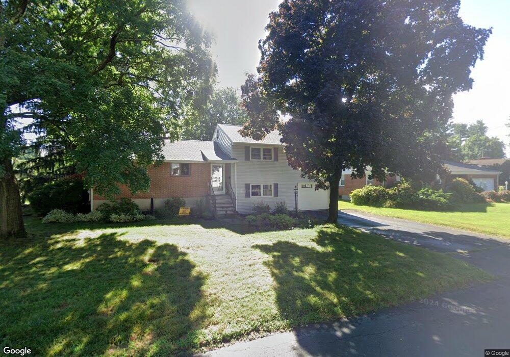
74 Farmstead Ln West Hartford, CT 06117
Estimated Value: $415,000 - $484,000
3
Beds
3
Baths
1,456
Sq Ft
$317/Sq Ft
Est. Value
About This Home
This home is located at 74 Farmstead Ln, West Hartford, CT 06117 and is currently estimated at $461,339, approximately $316 per square foot. 74 Farmstead Ln is a home located in Hartford County with nearby schools including Norfeldt School, King Philip Middle School, and Hall High School.
Ownership History
Date
Name
Owned For
Owner Type
Purchase Details
Closed on
Dec 3, 2014
Sold by
Singer Irwin D and Singer Judyth G
Bought by
Judyth G Signer Ret
Current Estimated Value
Create a Home Valuation Report for This Property
The Home Valuation Report is an in-depth analysis detailing your home's value as well as a comparison with similar homes in the area
Home Values in the Area
Average Home Value in this Area
Purchase History
| Date | Buyer | Sale Price | Title Company |
|---|---|---|---|
| Judyth G Signer Ret | -- | -- |
Source: Public Records
Tax History Compared to Growth
Tax History
| Year | Tax Paid | Tax Assessment Tax Assessment Total Assessment is a certain percentage of the fair market value that is determined by local assessors to be the total taxable value of land and additions on the property. | Land | Improvement |
|---|---|---|---|---|
| 2025 | $9,021 | $201,460 | $87,220 | $114,240 |
| 2024 | $8,532 | $201,460 | $87,220 | $114,240 |
| 2023 | $8,244 | $201,460 | $87,220 | $114,240 |
| 2022 | $8,195 | $201,460 | $87,220 | $114,240 |
| 2021 | $7,706 | $181,650 | $83,860 | $97,790 |
| 2020 | $7,122 | $170,380 | $76,230 | $94,150 |
| 2019 | $7,122 | $170,380 | $76,230 | $94,150 |
| 2018 | $6,986 | $170,380 | $76,230 | $94,150 |
| 2017 | $6,992 | $170,380 | $76,230 | $94,150 |
| 2016 | $6,887 | $174,300 | $64,540 | $109,760 |
| 2015 | $6,677 | $174,300 | $64,540 | $109,760 |
| 2014 | $6,514 | $174,300 | $64,540 | $109,760 |
Source: Public Records
Map
Nearby Homes
- 53 Whitehill Dr
- 35 W Ridge Dr
- 30 Farmstead Ln
- 2581 Albany Ave
- 62 Blue Ridge Ln
- 5 Coolidge Rd
- 2645 Albany Ave
- 1 King Philip Dr Unit 207
- 51 Sky View Dr Unit 4
- 8 Tanglewood Rd
- 139 Mohawk Dr
- 14 Gledhill Ln
- 68 Lyman Rd
- 592 Mountain Rd Unit A
- 138 Mohegan Dr
- 6 Old Oak Rd
- 9 Carlyle Rd
- 11 Lawler Rd
- 6 Lyman Rd
- 206 Mohegan Dr
- 70 Farmstead Ln
- 47 Whitehill Dr
- 43 Whitehill Dr
- 39 Whitehill Dr
- 32 Brightview Dr
- 36 Brightview Dr
- 28 Brightview Dr
- 73 Farmstead Ln
- 37 Whitehill Dr
- 55 Whitehill Dr
- 26 Brightview Dr
- 48 Brightview Dr
- 33 Whitehill Dr
- 44 Whitehill Dr
- 48 Whitehill Dr
- 3 Karen Rd
- 52 Whitehill Dr
- 22 Brightview Dr
- 35 Brightview Dr
- 59 Whitehill Dr