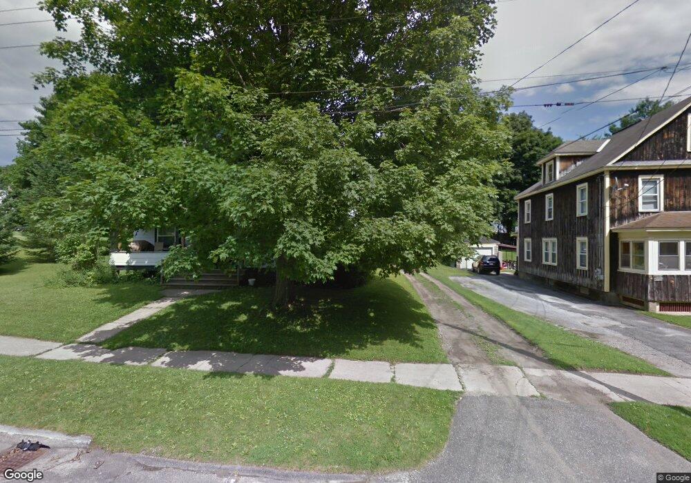
74 Grove St Pittsfield, MA 01201
Estimated Value: $293,922 - $306,000
6
Beds
4
Baths
3,369
Sq Ft
$90/Sq Ft
Est. Value
About This Home
This home is located at 74 Grove St, Pittsfield, MA 01201 and is currently estimated at $302,231, approximately $89 per square foot. 74 Grove St is a home located in Berkshire County with nearby schools including Morningside Community School, Theodore Herberg Middle School, and Pittsfield High School.
Ownership History
Date
Name
Owned For
Owner Type
Purchase Details
Closed on
Mar 28, 2022
Sold by
Benoit Joshua D
Bought by
Berkshire Bear Invs Llc
Current Estimated Value
Home Financials for this Owner
Home Financials are based on the most recent Mortgage that was taken out on this home.
Original Mortgage
$176,425
Outstanding Balance
$166,013
Interest Rate
4.42%
Mortgage Type
Purchase Money Mortgage
Estimated Equity
$136,218
Purchase Details
Closed on
Aug 3, 2007
Sold by
Loehr Kevin J and Pierce-Loehr Michele C
Bought by
Benoit Joshua D
Home Financials for this Owner
Home Financials are based on the most recent Mortgage that was taken out on this home.
Original Mortgage
$150,727
Interest Rate
6.73%
Mortgage Type
Purchase Money Mortgage
Create a Home Valuation Report for This Property
The Home Valuation Report is an in-depth analysis detailing your home's value as well as a comparison with similar homes in the area
Home Values in the Area
Average Home Value in this Area
Purchase History
| Date | Buyer | Sale Price | Title Company |
|---|---|---|---|
| Berkshire Bear Invs Llc | $234,900 | None Available | |
| Benoit Joshua D | $155,000 | -- | |
| Benoit Joshua D | $155,000 | -- | |
| Benoit Joshua D | $155,000 | -- |
Source: Public Records
Mortgage History
| Date | Status | Borrower | Loan Amount |
|---|---|---|---|
| Open | Berkshire Bear Invs Llc | $176,425 | |
| Closed | Berkshire Bear Invs Llc | $176,425 | |
| Previous Owner | Benoit Joshua D | $150,727 | |
| Previous Owner | Benoit Joshua D | $100,000 |
Source: Public Records
Tax History Compared to Growth
Tax History
| Year | Tax Paid | Tax Assessment Tax Assessment Total Assessment is a certain percentage of the fair market value that is determined by local assessors to be the total taxable value of land and additions on the property. | Land | Improvement |
|---|---|---|---|---|
| 2025 | $4,440 | $247,500 | $35,200 | $212,300 |
| 2024 | $3,983 | $215,900 | $35,200 | $180,700 |
| 2023 | $3,662 | $199,900 | $35,200 | $164,700 |
| 2022 | $3,532 | $190,300 | $35,200 | $155,100 |
| 2021 | $3,326 | $172,800 | $35,200 | $137,600 |
| 2020 | $3,313 | $168,100 | $35,200 | $132,900 |
| 2019 | $3,125 | $160,900 | $33,200 | $127,700 |
| 2018 | $3,102 | $154,700 | $33,200 | $121,500 |
| 2017 | $3,072 | $156,500 | $38,200 | $118,300 |
| 2016 | $2,955 | $157,500 | $38,200 | $119,300 |
| 2015 | $2,844 | $157,500 | $38,200 | $119,300 |
Source: Public Records
Map
Nearby Homes
- 24 Glenwood Ave
- 29 Glenwood Ave
- LOT 20 Plunkett St
- 156 Draper Ave
- 52 Brown St
- 41 Perrine Ave
- 48 Brown St
- 40 Roland St
- 26 Springside Ave
- 11 Stanley Ave
- 9 Myrtle St
- 81 Dartmouth St Unit 205
- 81 Dartmouth St Unit 102
- 98 Lincoln St
- 68 Orchard St
- 34 Lenox Ave
- 71 Maplewood Ave
- 131 Lenox Ave
- 74 Briggs Ave
- 51 Adam St