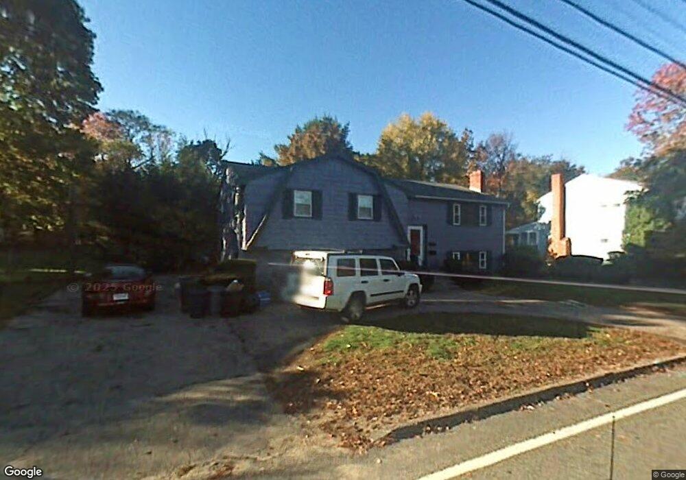
74 Grove St Randolph, MA 02368
North Randolph NeighborhoodEstimated Value: $614,000 - $634,000
3
Beds
3
Baths
1,424
Sq Ft
$439/Sq Ft
Est. Value
About This Home
This home is located at 74 Grove St, Randolph, MA 02368 and is currently estimated at $624,482, approximately $438 per square foot. 74 Grove St is a home located in Norfolk County with nearby schools including Randolph High School, Boston Higashi School, and Lighthouse Baptist Christian Academy.
Create a Home Valuation Report for This Property
The Home Valuation Report is an in-depth analysis detailing your home's value as well as a comparison with similar homes in the area
Home Values in the Area
Average Home Value in this Area
Tax History
| Year | Tax Paid | Tax Assessment Tax Assessment Total Assessment is a certain percentage of the fair market value that is determined by local assessors to be the total taxable value of land and additions on the property. | Land | Improvement |
|---|---|---|---|---|
| 2025 | $6,550 | $564,200 | $230,700 | $333,500 |
| 2024 | $6,425 | $561,100 | $226,200 | $334,900 |
| 2023 | $6,085 | $503,700 | $205,600 | $298,100 |
| 2022 | $5,866 | $431,300 | $171,400 | $259,900 |
| 2021 | $5,667 | $383,400 | $142,700 | $240,700 |
| 2020 | $5,503 | $369,100 | $142,700 | $226,400 |
| 2019 | $5,429 | $362,400 | $136,000 | $226,400 |
| 2018 | $5,029 | $316,700 | $123,600 | $193,100 |
| 2017 | $4,846 | $299,500 | $117,700 | $181,800 |
| 2016 | $4,716 | $271,200 | $106,900 | $164,300 |
| 2015 | $4,764 | $263,200 | $101,900 | $161,300 |
Source: Public Records
Map
Nearby Homes
- 16 Grove Square Unit 16
- 54 Jasper Ln
- 20 Simmonds Blvd Unit 20
- 18 Simmonds Blvd Unit 18
- 8 Simmonds Blvd Unit 8
- 22 Simmonds Blvd Unit 22
- 10 Simmonds Blvd Unit 10
- 24 Simmonds Blvd Unit 24
- 6 Simmonds Blvd Unit 6
- 591 N Main St
- 153 West St
- 43 West St Unit A2
- 43 Emily Jeffers Rd
- 34 Orchard St
- 17 Mazzeo Dr
- 159 Bittersweet Ln Unit 107
- 59 Highland Glen Dr Unit 328
- 54 Highland Glen Dr
- 33 Hemlock Terrace
- 195 High St
Your Personal Tour Guide
Ask me questions while you tour the home.