74 High Point Dr North Grafton, MA 01536
Estimated Value: $860,000 - $942,429
4
Beds
3
Baths
2,333
Sq Ft
$388/Sq Ft
Est. Value
About This Home
This home is located at 74 High Point Dr, North Grafton, MA 01536 and is currently estimated at $905,357, approximately $388 per square foot. 74 High Point Dr is a home located in Worcester County with nearby schools including Grafton High School.
Ownership History
Date
Name
Owned For
Owner Type
Purchase Details
Closed on
Sep 14, 2018
Sold by
Adams Road Co Llc
Bought by
Maganti Srikanth
Current Estimated Value
Home Financials for this Owner
Home Financials are based on the most recent Mortgage that was taken out on this home.
Original Mortgage
$418,090
Outstanding Balance
$364,632
Interest Rate
4.6%
Mortgage Type
New Conventional
Estimated Equity
$540,725
Create a Home Valuation Report for This Property
The Home Valuation Report is an in-depth analysis detailing your home's value as well as a comparison with similar homes in the area
Home Values in the Area
Average Home Value in this Area
Purchase History
| Date | Buyer | Sale Price | Title Company |
|---|---|---|---|
| Maganti Srikanth | $543,090 | -- |
Source: Public Records
Mortgage History
| Date | Status | Borrower | Loan Amount |
|---|---|---|---|
| Open | Maganti Srikanth | $418,090 | |
| Closed | Maganti Srikanth | $418,090 |
Source: Public Records
Tax History Compared to Growth
Tax History
| Year | Tax Paid | Tax Assessment Tax Assessment Total Assessment is a certain percentage of the fair market value that is determined by local assessors to be the total taxable value of land and additions on the property. | Land | Improvement |
|---|---|---|---|---|
| 2025 | $11,537 | $827,600 | $175,200 | $652,400 |
| 2024 | $11,464 | $801,100 | $175,700 | $625,400 |
| 2023 | $10,075 | $641,300 | $175,700 | $465,600 |
| 2022 | $9,510 | $563,400 | $150,800 | $412,600 |
| 2021 | $9,404 | $547,400 | $137,100 | $410,300 |
| 2020 | $8,966 | $543,400 | $137,100 | $406,300 |
| 2019 | $6,151 | $369,200 | $133,100 | $236,100 |
| 2018 | $1,206 | $72,700 | $72,700 | $0 |
| 2017 | $1,105 | $67,400 | $67,400 | $0 |
| 2016 | $1,161 | $69,300 | $69,300 | $0 |
| 2015 | $1,143 | $69,300 | $69,300 | $0 |
| 2014 | $2,048 | $134,200 | $134,200 | $0 |
Source: Public Records
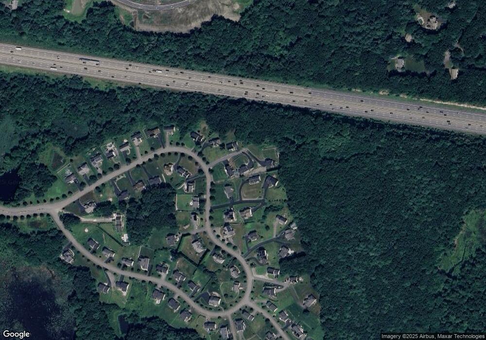
Map
Nearby Homes
- 74 High Point Dr
- 76 High Point Dr
- 78 High Point Dr
- 68 High Point Dr
- 72 High Point Dr
- 70 High Point Dr
- 66 High Point Dr
- 80 High Point Dr
- 64 High Point Dr
- 71 High Point Dr
- 75 High Point Dr
- 62B High Point Dr
- 62 High Point Dr
- 82 High Point Dr
- 85 High Point Dr
- 56 High Point Dr
- 69 High Point Dr
- 58 High Point Dr
- 60 High Point Dr
- 67 High Point Dr