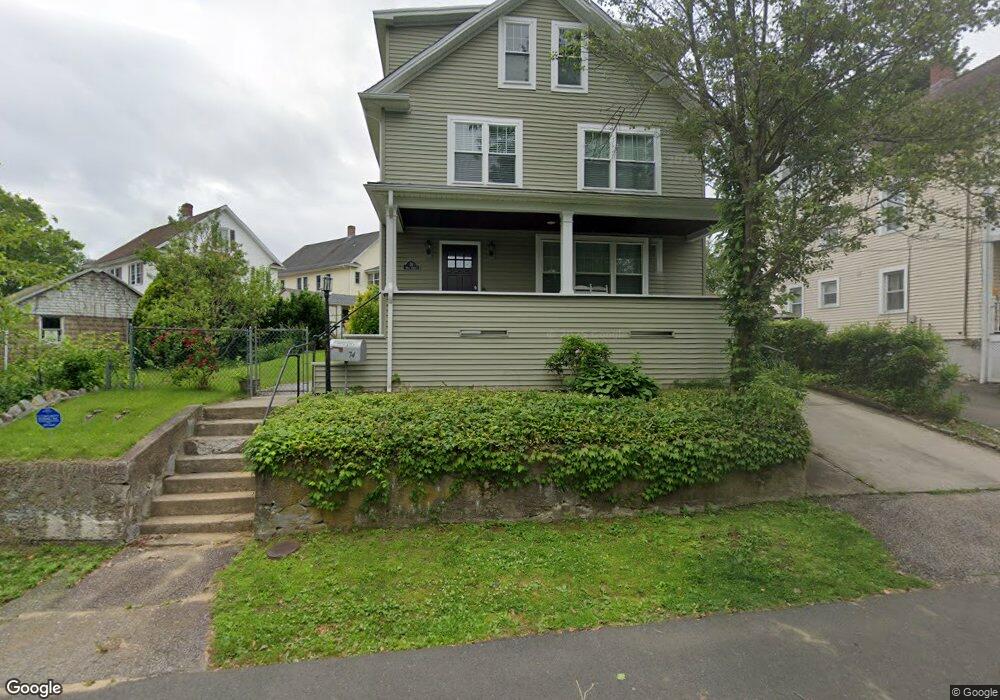
74 High St Shelton, CT 06484
Estimated Value: $383,000 - $487,000
3
Beds
3
Baths
1,496
Sq Ft
$279/Sq Ft
Est. Value
About This Home
This home is located at 74 High St, Shelton, CT 06484 and is currently estimated at $417,776, approximately $279 per square foot. 74 High St is a home located in Fairfield County with nearby schools including Perry Hill School, Shelton Intermediate School, and Shelton High School.
Ownership History
Date
Name
Owned For
Owner Type
Purchase Details
Closed on
Jun 11, 2021
Sold by
Sound 2 Home Builders Llc
Bought by
Grasso Marissa
Current Estimated Value
Home Financials for this Owner
Home Financials are based on the most recent Mortgage that was taken out on this home.
Original Mortgage
$199,200
Outstanding Balance
$180,351
Interest Rate
2.9%
Mortgage Type
Purchase Money Mortgage
Estimated Equity
$237,425
Purchase Details
Closed on
Sep 8, 1970
Bought by
Mica Michael
Create a Home Valuation Report for This Property
The Home Valuation Report is an in-depth analysis detailing your home's value as well as a comparison with similar homes in the area
Home Values in the Area
Average Home Value in this Area
Purchase History
| Date | Buyer | Sale Price | Title Company |
|---|---|---|---|
| Grasso Marissa | $249,000 | None Available | |
| Grasso Marissa | $249,000 | None Available | |
| Mica Michael | -- | -- |
Source: Public Records
Mortgage History
| Date | Status | Borrower | Loan Amount |
|---|---|---|---|
| Open | Grasso Marissa | $199,200 | |
| Closed | Grasso Marissa | $199,200 |
Source: Public Records
Tax History Compared to Growth
Tax History
| Year | Tax Paid | Tax Assessment Tax Assessment Total Assessment is a certain percentage of the fair market value that is determined by local assessors to be the total taxable value of land and additions on the property. | Land | Improvement |
|---|---|---|---|---|
| 2025 | $3,366 | $178,850 | $77,070 | $101,780 |
| 2024 | $3,430 | $178,850 | $77,070 | $101,780 |
| 2023 | $3,125 | $178,850 | $77,070 | $101,780 |
| 2022 | $3,125 | $178,850 | $77,070 | $101,780 |
| 2021 | $1,793 | $81,410 | $51,730 | $29,680 |
| 2020 | $3,002 | $133,910 | $51,730 | $82,180 |
| 2019 | $3,002 | $133,910 | $51,730 | $82,180 |
| 2017 | $2,974 | $133,910 | $51,730 | $82,180 |
| 2015 | $2,967 | $136,010 | $45,850 | $90,160 |
| 2014 | $3,034 | $136,010 | $45,850 | $90,160 |
Source: Public Records
Map
Nearby Homes
- 2 Congress Ave
- 10 Colonial Village
- 16 Union St
- 25 Gilbert St
- 18 Cliff St
- 145 Canal St Unit 118
- 145 Canal St Unit 312
- 50 Kneen St
- 163 Coram Ave
- 56 Wakelee Avenue Extension Unit 53
- 125 Oak Ave
- 2 Laurel Ln
- 26 King St
- 18 Brook St
- 255 Canal St E
- 51 Shelton Ave
- 105 Camptown St
- 63 Minerva St
- 83 Myrtle St Unit BLDG 2, 5
- 75 Beecher Ave
- 76 High St Unit 78
- Lot 82 High St
- 82 High St
- 86 High St
- 218 Division Ave Unit 220
- 88 High St
- 230 Division Ave
- 14 Long Hill Ave
- 222 Division Ave
- 214 Division Ave Unit 216
- 212 Division Ave
- 14 Bridgeport Ave Unit B
- 14 Bridgeport Ave Unit 2ND F
- 31-33 Long Hill Ave
- 2 Long Hill Ave
- 31 Long Hill Ave Unit 33
- 31 Long Hill Ave Unit 33
- 19 Long Hill Ave
- 19 Long Hill Ave Unit 3rd F
- 19 Long Hill Ave Unit 1st Floor