74 Howland Cir Unit ''A'' Brewster, MA 02631
Estimated Value: $516,000 - $578,000
2
Beds
2
Baths
1,201
Sq Ft
$467/Sq Ft
Est. Value
About This Home
This home is located at 74 Howland Cir Unit ''A'', Brewster, MA 02631 and is currently estimated at $561,056, approximately $467 per square foot. 74 Howland Cir Unit ''A'' is a home located in Barnstable County with nearby schools including Stony Brook Elementary School, Eddy Elementary School, and Nauset Regional Middle School.
Ownership History
Date
Name
Owned For
Owner Type
Purchase Details
Closed on
May 17, 2019
Sold by
Donald A Thompson Irt
Bought by
Suneson William A and Suneson Joanne G
Current Estimated Value
Home Financials for this Owner
Home Financials are based on the most recent Mortgage that was taken out on this home.
Original Mortgage
$250,000
Outstanding Balance
$219,801
Interest Rate
4.2%
Mortgage Type
New Conventional
Estimated Equity
$341,255
Purchase Details
Closed on
Jan 22, 2018
Sold by
Thompson Donald A and Thompson Judith A
Bought by
Donald A Thomps0n Irt
Purchase Details
Closed on
Jan 11, 2018
Sold by
Thompson Donald A and Thompson Judith A
Bought by
Donald A Thompson Irt
Purchase Details
Closed on
Sep 10, 2015
Sold by
William F G Page T
Bought by
Thompson Donald A and Thompson Judith A
Purchase Details
Closed on
Jul 25, 2012
Sold by
Page William F and Page Judith B
Bought by
William F H Page T and Page William F
Purchase Details
Closed on
Jun 6, 2012
Sold by
Moise Nicholas K and Moise Jean E
Bought by
Page William F and Page Judith B
Purchase Details
Closed on
Apr 22, 2005
Sold by
Lovallo Daniel L and Susan Higgins J
Bought by
Moise Jean E and Moise Nicholas K
Home Financials for this Owner
Home Financials are based on the most recent Mortgage that was taken out on this home.
Original Mortgage
$264,000
Interest Rate
5.87%
Mortgage Type
Purchase Money Mortgage
Purchase Details
Closed on
Jan 26, 2004
Sold by
Lspi Exchange Corp
Bought by
Lovallo Daniel L and Susan Higgins J
Home Financials for this Owner
Home Financials are based on the most recent Mortgage that was taken out on this home.
Original Mortgage
$259,650
Interest Rate
6.03%
Mortgage Type
Purchase Money Mortgage
Purchase Details
Closed on
Dec 9, 2003
Sold by
Small George and Small Judith L
Bought by
Lspi Exchange Corp
Home Financials for this Owner
Home Financials are based on the most recent Mortgage that was taken out on this home.
Original Mortgage
$259,650
Interest Rate
6.03%
Mortgage Type
Purchase Money Mortgage
Create a Home Valuation Report for This Property
The Home Valuation Report is an in-depth analysis detailing your home's value as well as a comparison with similar homes in the area
Home Values in the Area
Average Home Value in this Area
Purchase History
| Date | Buyer | Sale Price | Title Company |
|---|---|---|---|
| Suneson William A | $327,500 | -- | |
| Donald A Thomps0n Irt | $97,754 | -- | |
| Donald A Thompson Irt | -- | -- | |
| Thompson Donald A | $237,250 | -- | |
| William F H Page T | -- | -- | |
| Page William F | $229,000 | -- | |
| Moise Jean E | $330,000 | -- | |
| Lovallo Daniel L | -- | -- | |
| Lspi Exchange Corp | $288,500 | -- |
Source: Public Records
Mortgage History
| Date | Status | Borrower | Loan Amount |
|---|---|---|---|
| Open | Suneson William A | $250,000 | |
| Previous Owner | Moise Jean E | $264,000 | |
| Previous Owner | Lspi Exchange Corp | $259,650 |
Source: Public Records
Tax History
| Year | Tax Paid | Tax Assessment Tax Assessment Total Assessment is a certain percentage of the fair market value that is determined by local assessors to be the total taxable value of land and additions on the property. | Land | Improvement |
|---|---|---|---|---|
| 2025 | $3,508 | $509,900 | $0 | $509,900 |
| 2024 | $3,238 | $475,500 | $0 | $475,500 |
| 2023 | $2,945 | $421,300 | $0 | $421,300 |
| 2022 | $2,505 | $319,100 | $0 | $319,100 |
| 2021 | $2,494 | $290,700 | $0 | $290,700 |
| 2020 | $2,383 | $276,500 | $0 | $276,500 |
| 2019 | $2,188 | $255,000 | $0 | $255,000 |
| 2018 | $2,029 | $245,700 | $0 | $245,700 |
| 2017 | $1,929 | $229,900 | $0 | $229,900 |
| 2016 | $1,902 | $225,600 | $0 | $225,600 |
| 2015 | $1,837 | $222,400 | $0 | $222,400 |
Source: Public Records
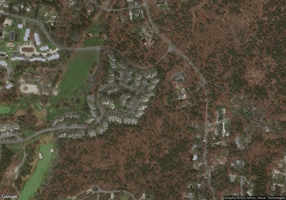
Map
Nearby Homes
- 100 Fletcher Ln Unit C
- 101 Fletcher Ln Unit L
- 100 Fletcher Ln Unit C
- 101 Fletcher Ln Unit L
- 81 Fletcher Ln Unit C
- 81 Fletcher Ln Unit I
- 81 Fletcher Ln Unit C
- 81 Fletcher Ln Unit I
- 102 Fletcher Ln Unit H
- 102 Fletcher Ln Unit H
- 62 Fletcher Ln Unit G
- 62 Fletcher Ln Unit N
- 62 Fletcher Ln Unit G
- 62 Fletcher Ln Unit N
- 82 Fletcher Ln Unit H
- 82 Fletcher Ln Unit H
- 398 Lund Farm Way
- 0 Old Chatham Rd
- 137 Eaton Ln
- 0 Commons Way Unit 22504099
- 78 Howland Cir
- 76 Howland Cir
- 74 Howland Cir
- 72 Howland Cir
- 70 Howland Cir
- 68 Howland Cir
- 76 Howland Cir Unit 86
- 72 Howland Cir Unit 72
- 74 Howland Cir Unit 85
- 78 Howland Cir Unit 87
- 70 Howland Cir Unit 44
- 72 Howland Cir Unit 84
- 66 Howland Cir
- 64 Howland Cir
- 62 Howland Cir
- 56 Howland Cir Unit 56
- 56 Howland Cir Unit 76
- 60 Howland Cir
- 58 Howland Cir
- 56 Howland Cir
Your Personal Tour Guide
Ask me questions while you tour the home.